


Climbing towards the Bianchet mountain hut
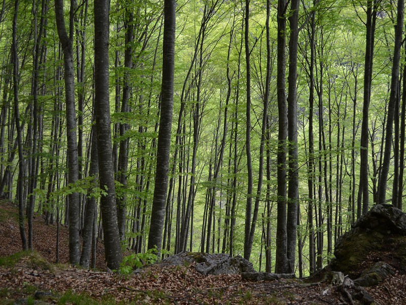
In the beech forests of Val Vescovà
- Trail Conditions: By bike
- Interest: Flora, Panorama
- Departure: Loc. Pinei (Val Cordevole) (486m)
- Arrival: Rifugio Bianchet (1,245m)
- Difficulty Level: BC
- Length: 14 km
- Difference in height: 760m
- Minimum Altitude: 486m
- Maximum Altitude: 1,245m
- Recommended Period: from June to September
Once left the car along the SR Agordina, take the road that climbs towards the Bianchet refuge. At the first crossroads turn right, passing the barrier that prevents vehicles from entering. The road, unpaved, climbs with a constant slope, rising on the Cordevole Valley. After a couple of kilometers from the start, the path enters the Val Vescovà: a valley suspended on the bottom of the Val Cordevole. With a series of hairpin bends, you gain altitude up to the source f Fontana Fredda and to the Sass de i Companc. You then descend on the riverbed and, with a final uphill stretch, you reach the clearing where is located the Bianchet refuge.
Access: take the SR 203 Agordinafino to km 17 (Pinei)
Ground: 100% unpaved
Didactic supports: didactic panels of the Park at Bianchet refuge
 Download KMZ


