Itineraries
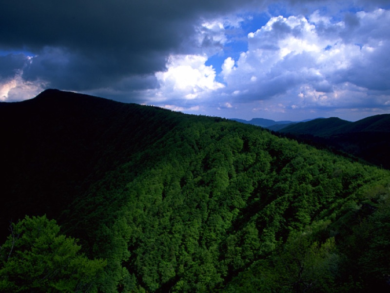
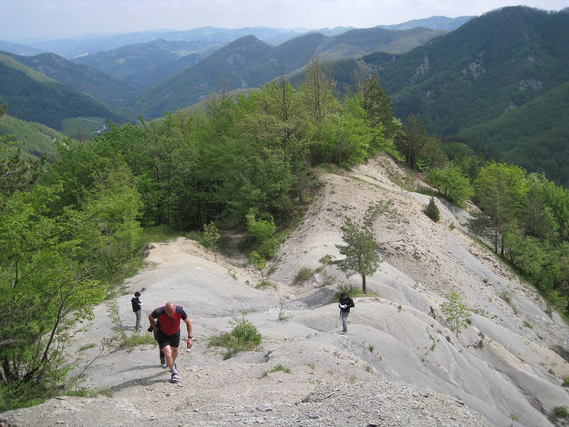
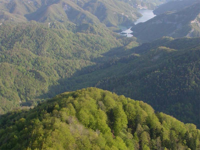
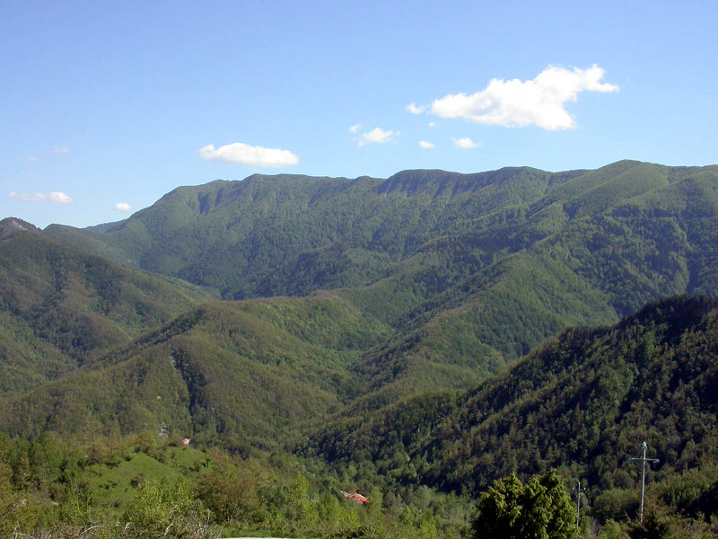
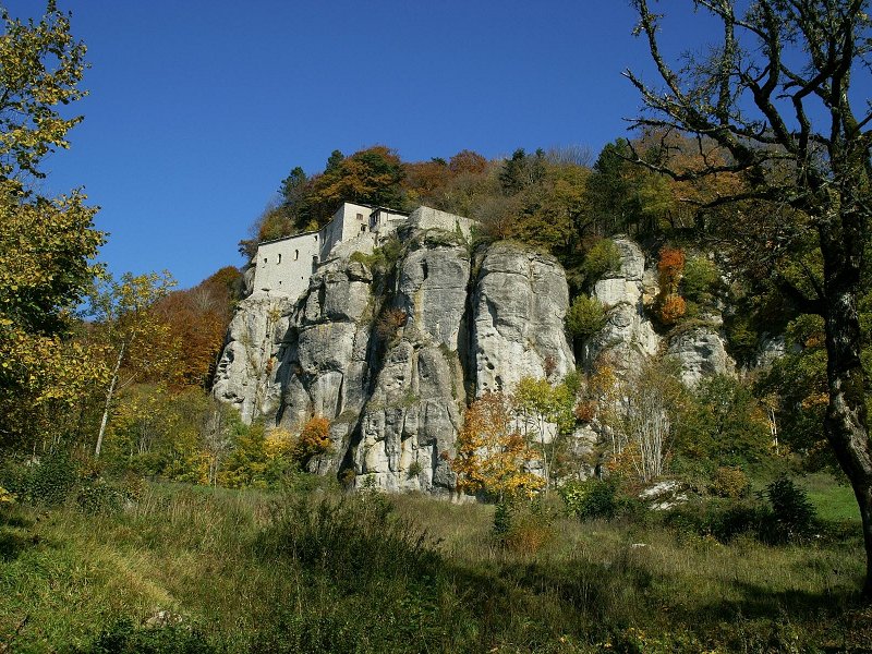
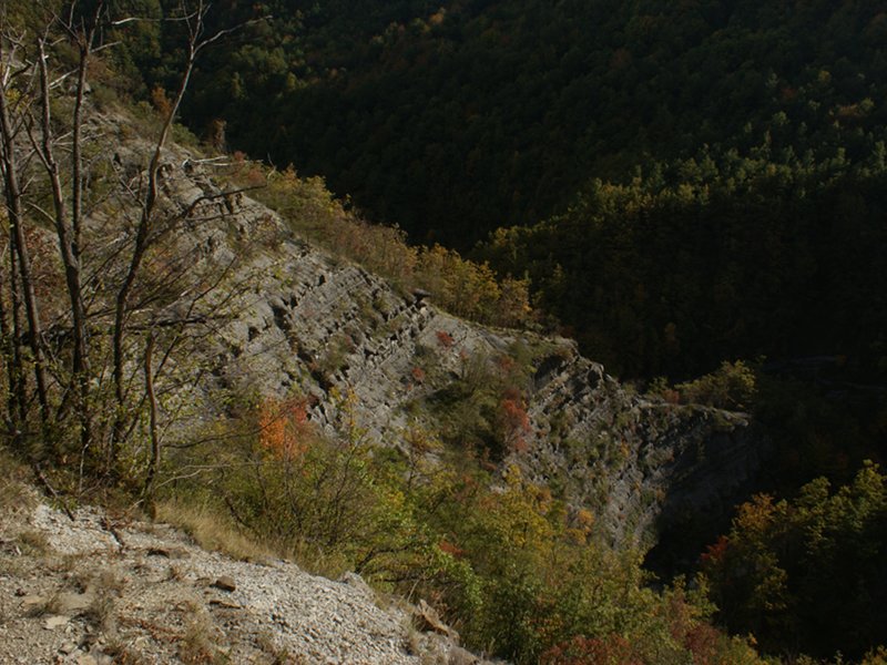
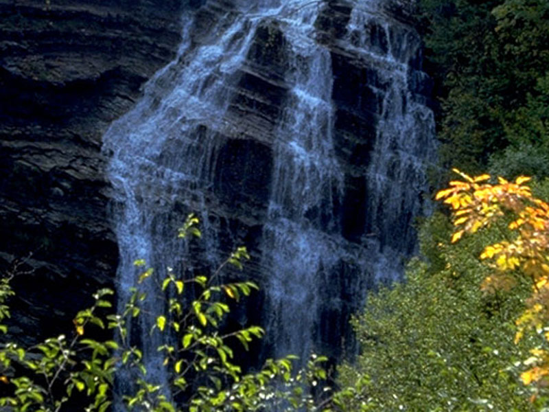
The Apennines touching the regions of Tuscany and Romagna and in particular Foreste Casentinesi are well-known by hikers. Some classical itineraries like the GEA or the Acquacheta waterfall are usally attended by a constantly growing number of visitors, but the trail network has always been quite poor except for some trails. The Park has worked to fix the trails and to place trail markers along the already existing ones (more than 250 kilometres) and at the same time to create a good and precise instrument of territorial exploration: the hiking map.
The map, scale 1:25.000, includes the description of 160 numbered trails, that is about 250 hours of walks.
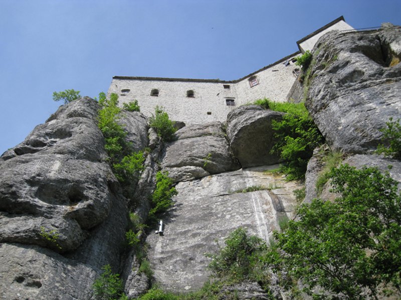
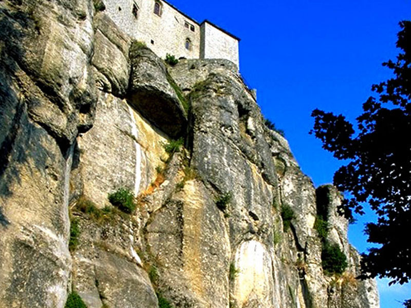
Sentiero delle Foreste Sacre (Path of the Sacred Forests)
A seven-stages journey across the nature and the spirituality of the Casentinesi Forests National Park
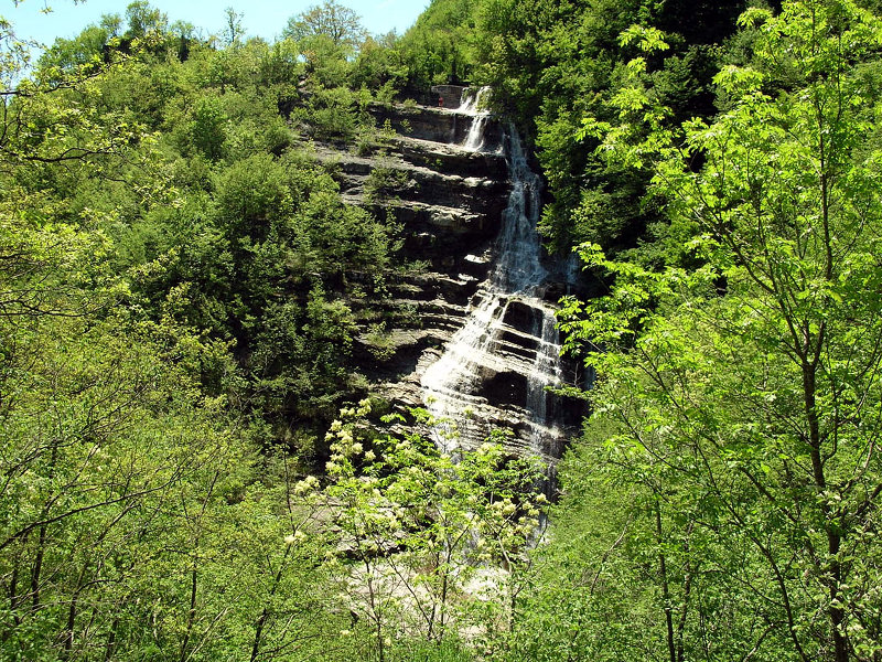
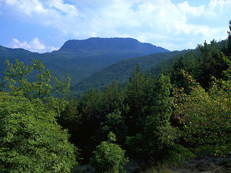
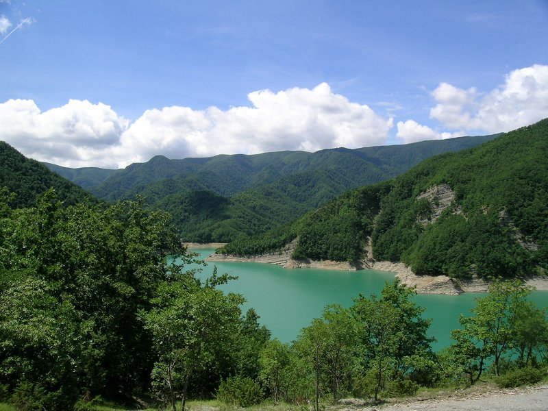
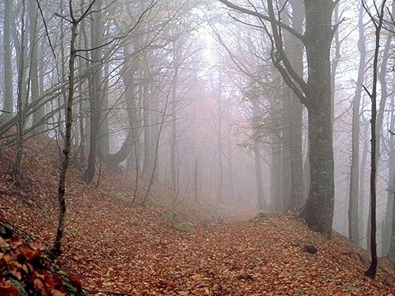
The itinerary - which is about 100 kilometers long - is divided into seven stages, from the Ponte di Tredozio's Lake to La Verna. Seven days during which you will seldom meet cars or built-up areas, but you will cross the green blanket of the Casentinesi Forests, with the opportunity to visit its most fascinating places: the Acquacheta Valley, the Mount Falterona, the Campigna Forest, the Santa Valley, Camaldoli and La Verna.![]() Information about the return to the departure point (1Mb)
Information about the return to the departure point (1Mb)
 Buy online the publications on the Foreste Sacre
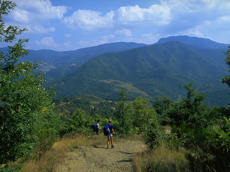
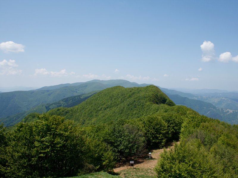
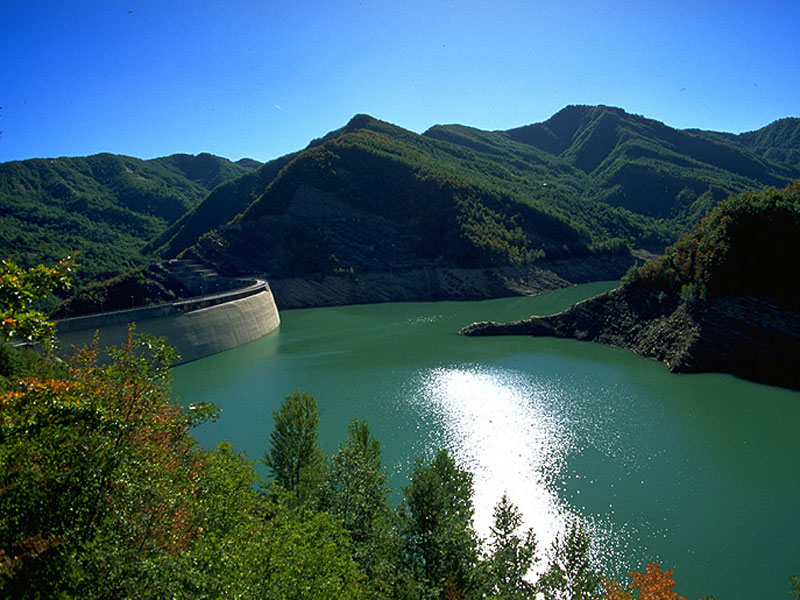
The Alta Via dei Parchi
A long hike in the northern Apennines
The Alta Via dei Parchi is an itinerary that can be covered on foot along the Apennines between Emilia-Romagna, Tuscany and The Marches: these are the stages within the Parco Nazionale delle Foreste Casentinesi, coinciding with the 'Sentiero delle Foreste Sacre' (meaning 'Path of the Sacred Forests').
- Buy on-line the Alta Via dei Parchi publications
Da rifugio a rifugio (From mountain hut to mountain hut)
Three-days hikes in Parco delle Foreste Casentinesi
Eight hiking routes to live a unique experience within the National Park, surrounded by nature and by the traditions of the protected area. The rural hospitality and the natural atmosphere are the guarantee to live three days and two nights as better as possible, sure of a warm welcome on your arrival to the involved structures. The proposals - planned within the interterritorial cooperation project entitled "Itinerari turistici rurali polifunzionali dell'Emilia Romagna" (multi-functional rural tourist routes of Emilia-Romagna) - feature a passport and a box containing all the useful information to carry out the suggested hikes.
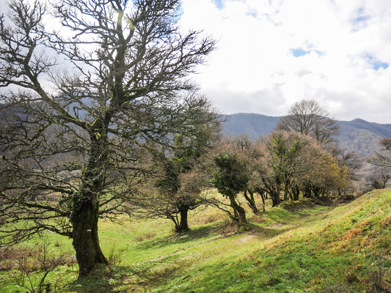
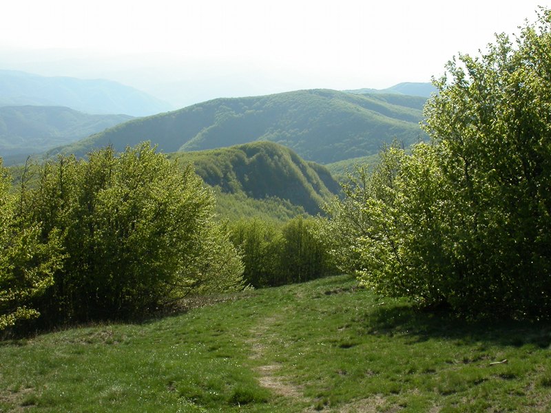
The Nature Trails
9 trails to discover the territory and nature of the Park
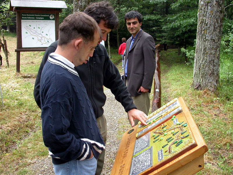
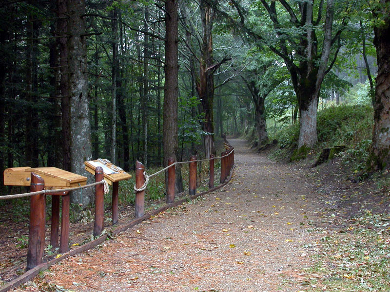
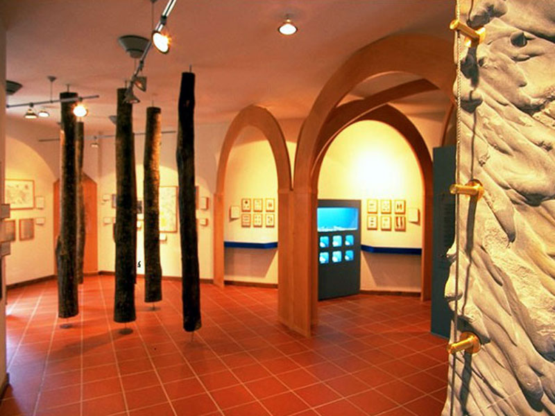
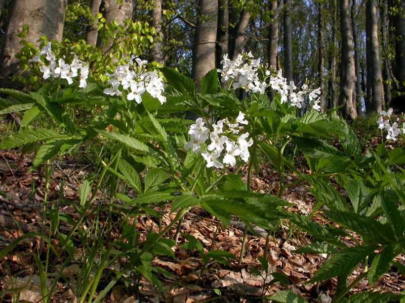
The Nature Trails (Sentieri Natura) are a particular series of trails created by the Park. They are itineraries of a few kilometers, along which it is possible to discover and recognize territorial features (trees, rocks, traces of the animal presence) in a "self-guided" way. The beginning of each trail is marked by the presence of a panel describing its features. The Park area includes nine Nature Trails, easily accessible, along which you will find some observation points marked by numbered poles. Visitors may use a small and practical brochure-guidebook (for sale in the Visitor Centers or in the Park Info Points) leading to the discovery and interpretation of the main features of the environments they will cross. The descriptions deal with the geomorphological structure of the territory, the vegetation, the wildlife, and the history of the places. The brochures are made to be easy to use, and to this aim they deal with the issue with a didactic method. Therefore, they are addressed to schools, but also to not expert hikers who would like to rely on an instrument for a first approach to the territory. The Nature Trails represent an invitation to observation and to a responsible approach to the protected area. The itineraries have been chosen for their proximity to busy and well known areas, and each develops a particular issue, so that it will be interesting to discover all of them.
- Buz online the brochures of Sentieri Natura
The Park for Everyone
Drawing visitors closer to nature is one of the Park aims, and this aim is even more admirable if it can involve everyone, without any exception. The principle animating the project is to put at the visitors' disposal some structures which are accessible to everyone, including people with disabilities.
In 2002, the first accessible trail was created in Campigna di Santa Sofia (FC) on the Park slope of Romagna, and in 2004 the accessible trail in Badia Prataglia (AR), on the Park slope of Casentino, was inaugurated.
The first trail, called "Un sentiero per tutti... i sensi" (A trail for all... senses), follows the famous Viale del Granduca di Campigna mentioned by the poet Dino Campana and is structured in 10 points along a route of about 350 meters; the trail in Badia Prataglia, "Una Foresta per tutti... i sensi: un sentiero per Sonia" (A Forest for all senses: A trail for Sonia), develops in loc. Capanno and has as a guiding thread the evolution of the relationship between man and forest over the centuries.
Both trails, prepared in collaboration with Corpo Forestale dello Stato - Ufficio Amministrazione Riserve Naturali Casentinesi ex ASFD, are structured in points suitable for all visitors and meeting different needs as far as heights, accessibility, and reading of the panels are concerned. Since it is a project dedicated to everyone, it aims at leading us to use all our senses according to our personal condition. The different points are rich in information, objects, and finds; to enjoy all this, sight is not the only important sense, but you are often invited to close your eyes, stop, touch, and listen.
Trunks, barks, landscapes, traces, sounds, rocks, are all little clues essential to discover the richness of these places, to explore the Park and nature in a different way.![]() Buz online the publications Un sentiero, un lago e una foresta per tutti i sensi
Buz online the publications Un sentiero, un lago e una foresta per tutti i sensi