


(SI P14) Campotosto - Amatrice
- Trail Conditions: On foot
- Departure: Piano Battaglia (1,393m)
- Arrival: Amatrice (866m)
- Length: 14.1 km
- Difference in height: Uphill 198m - Downhill 725m
- Minimum Altitude: 865m
- Maximum Altitude: 1,577m
From the central square of Campotosto, you will face the small uphill road towards the north (v. Castello) that, passing through the upper part of the town, will take you along the path no. 359 on Mount Cardito, where you could admire a wonderful 360° panorama near a small refuge.
206 lap of: Sentiero Italia CAI
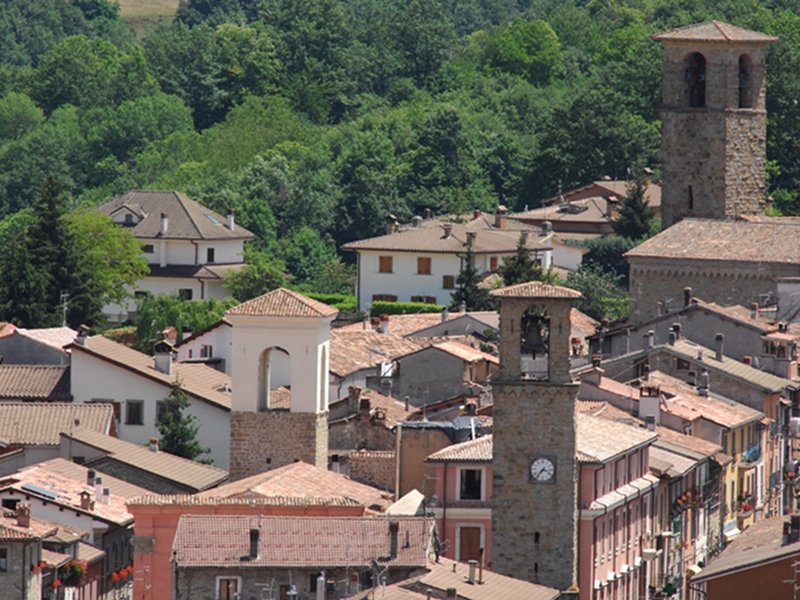
Amatrice
 Download KMZ
Protected Area(148.935,00 ha)

Lay-out of the itinerary

Departure

Arrival

Park Authority Offices (4)

Visitor Centers (17)

Where to Sleep* (3)

Municipalities (44)

Points of Interest (22)

Photos (20)

EV charge ≥100kW (286)

Airports (3)

Station (4)

Highway exits (3)
*: only Operators with Accommodation Page


© 2024 - Ente Parco Nazionale del Gran Sasso e Monti della Laga