


Valle dell'Aso Ring-route
The woody mountains between Sibillini and... "the infinite"
- Trail Conditions: By bike
- Interest: Panorama
- Departure: Montemonaco
- Duration: half day
- Difficulty Level: easy
- Length: 24.6 km
- Difference in height: Uphill 290m
The itinerary leaves from the town of Montemonaco, situated at about 1,000m of altitude and representing a real balcony facing Monti Sibillini and Piceno hills, up to the Adriatic Sea.
Further information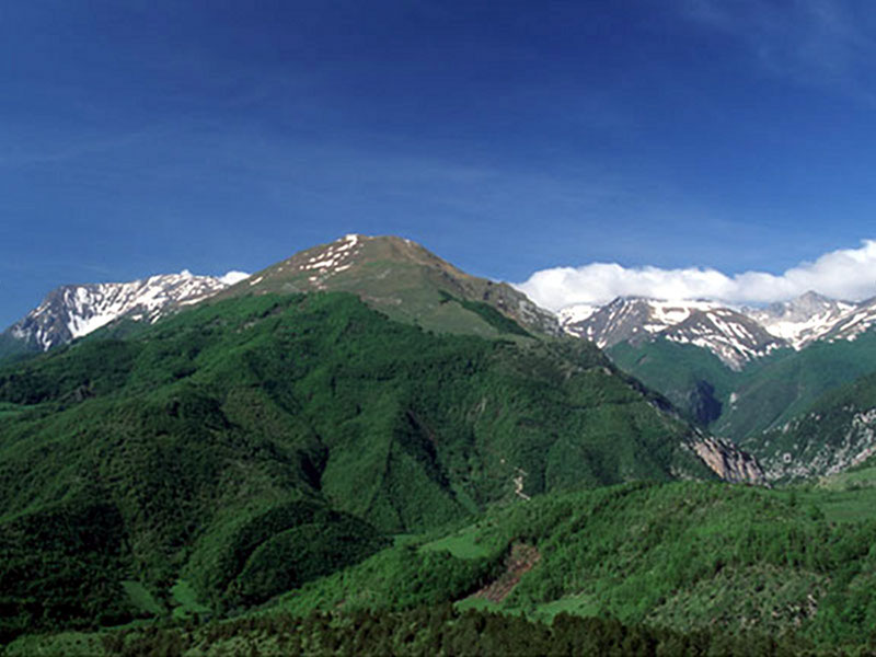
Valle dell'Aso Ring-route


© 2024 - Ente Parco Nazionale dei Monti Sibillini