


Colle di Montegallo - Colle le Cese
The valley of the two Parks
VERIFY
- Trail Conditions: On foot
- Duration: 5 hour/s 5 minutes
- Difficulty Level: T - Tourist (level)
- Length: 18.57 km
- Difference in height: 650m
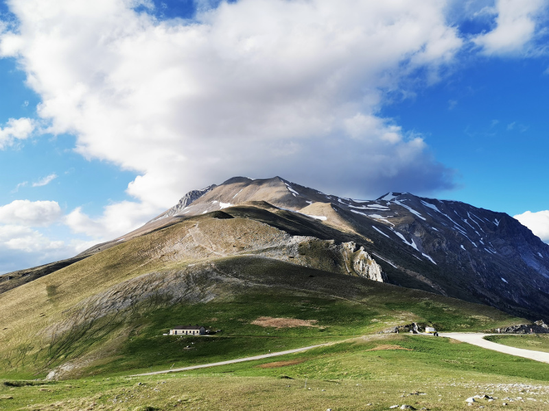
The route continues along the eastern side of the great M. Vettore and then enters a vast pine forest covering the base of the rocky south-eastern side. Following the 'Path of the Harvesters' the trail arrives near Forca di Presta, where the view opens expansively onto Valle del Tronto and the plains of Castelluccio.
Further information7ª Tappa: Grande Anello dei Sibillini
Forca di Presta and Mount Vettore Great Ring Route Stage G7 Colle - Colle Le Cese
 Download KMZ
Books and Guides


Protected Area(71.437,00 ha)

Lay-out of the itinerary

Departure

Arrival

Park Authority Offices

Visitor Centers (15)

Municipalities (17)

Photos (1)

EV charge ≥100kW (286)

Airports (4)

Station (5)


© 2024 - Ente Parco Nazionale dei Monti Sibillini