Protected Area
Identity Card
- Sila National Park:
- Land Surface Area: 73'695.00 ha
- Lower altitude (m): 368
- Higher altitude (m): 1'928
- Protected wildlife: 6 species (Italian text)
- Habitats: 4 types (Italian text)
- Regions: Calabria
- Provinces: Catanzaro, Cosenza, Crotone
- Municipalities: Acri, Albi, Aprigliano, Bocchigliero, Casali del Manco, Celico, Corigliano Calabro, Cotronei, Longobucco, Magisano, Mesoraca, Petilia Policastro, Petronà, San Giovanni in Fiore, Savelli, Serra Pedace, Sersale, Spezzano della Sila, Spezzano Piccolo, Taverna, Zagarise
- Establishment Measures: L 344 08/10/1997 - DPR 14/11/2002
- PA Official List: EUAP0550
- Park Authority: Ente Parco Nazionale della Sila
- Further managed Protected Areas:
- Riserva Statale Coturelle - Piccione
- Riserva Statale Gallopane
- Riserva Statale Gariglione - Pisarello
- Riserva Statale Golia Corvo
- Riserva Statale I Giganti della Sila
- Riserva Statale Macchia della Giumenta - San Salvatore
- Riserva Statale Poverella Villaggio Mancuso
- Riserva Statale Tasso - Camigliatello Silano
- Riserva Statale Trenta Coste
- ZPS Parco Nazionale della Calabria
- ZSC Acqua di Faggio
- ZSC Arnocampo
- ZSC Bosco di Gallopane
- ZSC Bosco Fallistro
- ZSC Carlomagno
- ZSC Colle del Telegrafo
- ZSC Colle Poverella
- ZSC Cozzo del Principe
- ZSC Fiume Tacina
- ZSC Juri Vetere Soprano
- ZSC Macchia Sacra
- ZSC Monte Curcio
- ZSC Monte Femminamorta
- ZSC Monte Gariglione
- ZSC Nocelleto
- ZSC Palude del Lago Ariamacina
- ZSC Pianori di Macchialonga
- ZSC Pineta del Cupone
- ZSC Pineta di Camigliatello
- ZSC Pinete del Roncino
- ZSC S. Salvatore
- ZSC Serra Stella
- ZSC Timpone della Carcara
- ZSC Torrente Soleo
- ZSC Vallone Freddo
- Riserva MAB Sila
Sila National Park
Sila National Park Authority manages some of the most charming and wild areas of the Region with large and wonderful forests covering gentle plateaus, with exciting landscapes stretching out towards Pollino, Aspromonte, Etna, the sunny side of the Ionian Sea and the Tyrrhenian Sea on which, with the clean air, you will be amazed in observing the imposing presence of Eolie.
There are several rural and tourist villages, and the artistic and cultural heritage is very rich. The highest mountains are Mt. Botte Donato (1,928m), in Sila Grande, and Mt. Gariglione (1,764m) in Sila Piccola; there are several torrential rivers, with clear and fresh waters, and artificial lakes used for various purposes. The wildlife, resident and migratory, is rich and varied.
The Territory
Sila National Park is a wonderful place to discover, rich in charming itineraries and exciting landscapes.
Enchanted mountains and valleys, wonderful plants and a great variety of animals form a biodiversity heritage which deserves to be loved and above all protected.

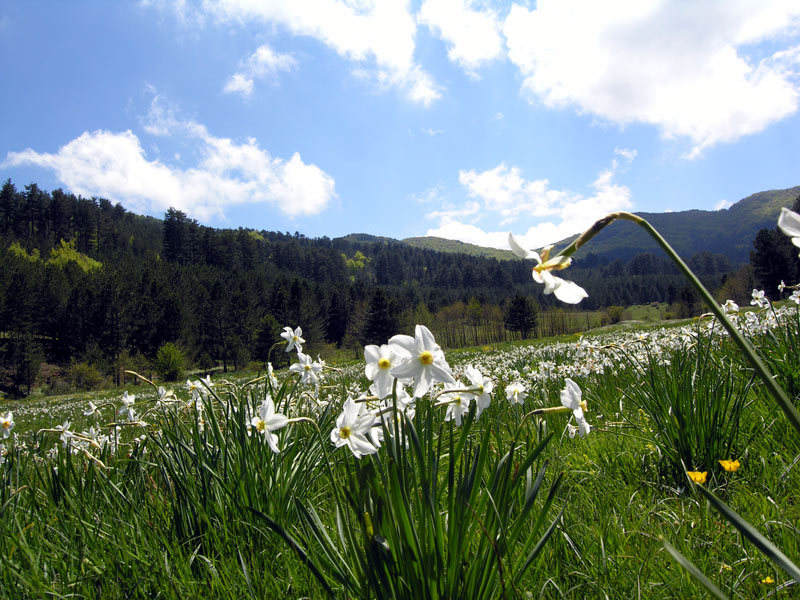
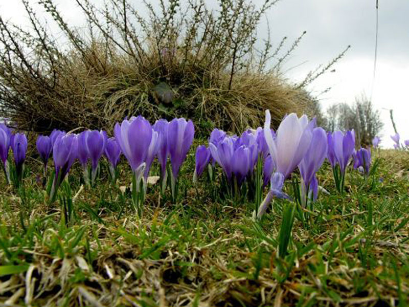
Flora
The Sila National Park is an especially mountainous park, where the woods occupy 81% of the total area, while the pastures affect 4% of the total area. It is characterized by the massive presence of beech (35% of the forest area) which mainly affects the higher areas and the pine forests (43% of the woods) in vast flat areas or on slight slopes that characterize the plateau.
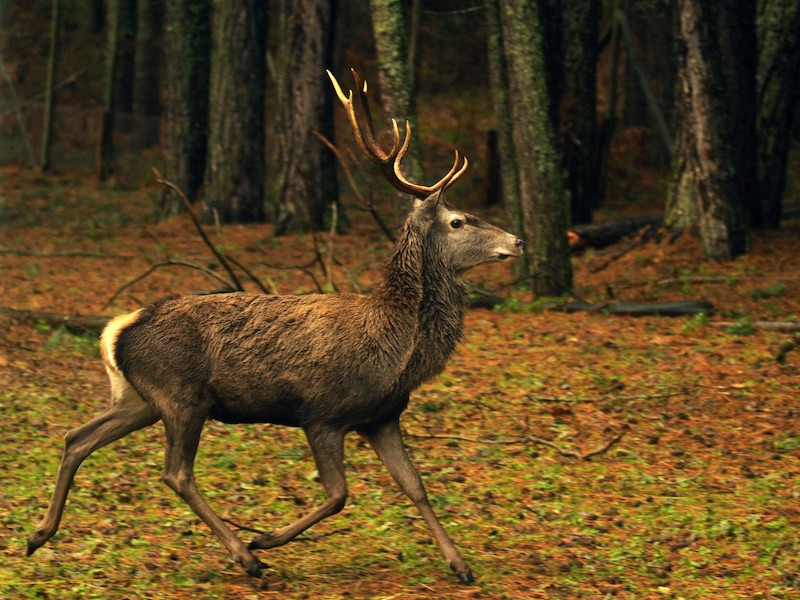
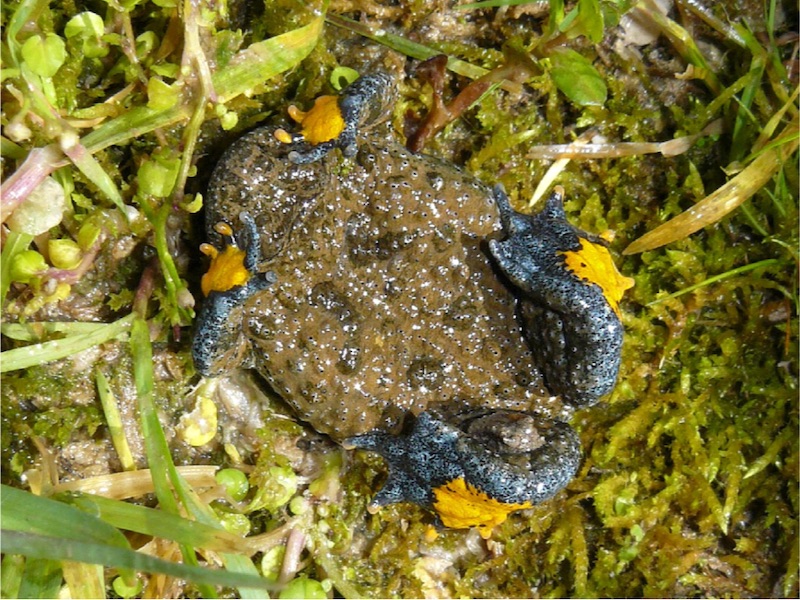
La Fauna
The animal biodiversity of the territory of the Park includes 175 species of autochthonous vertebrates, divided as follows: Mammals 65; Birds 80 (only considering breeding); Amphibians 12; Reptiles 16; Fish 2; not counting the alien entities and the occasional or erratic appearances.
Invertebrate fauna is obviously much more numerous, estimated at about 4,500-5,000 species, including the 14 endemic species of Calabria.