


Itineraries
Hiking in Stelvio National Park offers several possibilities: from the relaxing walks in the valley bottom to the challenging tours to the highest summits. Here you will find the description of some tours, from the easiest to the most demanding ones.
Some advice: always consider that you are facing mountain itineraries. Before leaving, you should inquire about the weather conditions and plan the route according to your hiking skills and training. It is recommended to wear clothes enabling a quick adjustment to the weather and/or temperature changes, characteristic of the mountain environment.
Wear adequate shoes: hiking shoes and trekking shoes are ideal. It is recommended to bring a rucksack with waterflask and packed lunch, as well as with a first aid kit.
Do not forget to bring binoculars and camera to observe and catch the wonderful moments the Park will offer you.
In case of real need, call the emergency phone number 112.
This section is under revision. Sorry for eventual inaccuracies.
The Park itineraries in Lombardy
Hundred of kilometers of itineraries allow you to organize excursions of varying difficulty in most of the Park area. Venture on the old military roads and mule tracks that go up to high altitude or go along to paths that lead from the woods to the glaciers; walking in the Park allows you to discover its rich environments. In the protected areas it is possible to choose itineraries for all abilities, from the easiest ones from families and children, to the longest and most demanding ones, intendend for more trained people. All itineraries allow experiences and, with a little luck, exciting meetings in contact with nature.
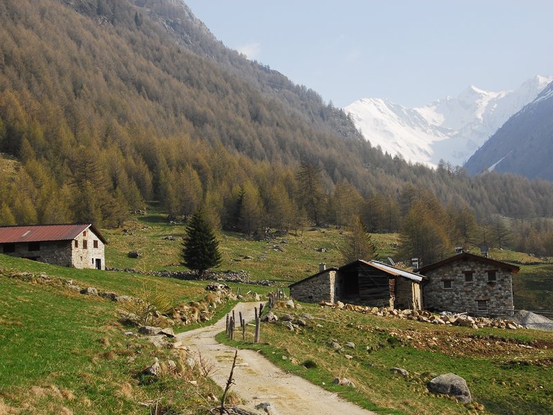
Further informationForni Valley
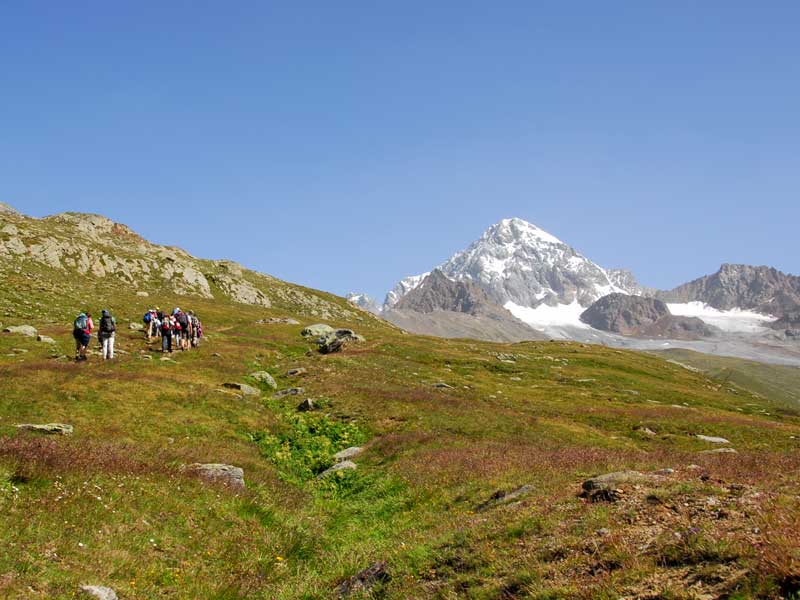
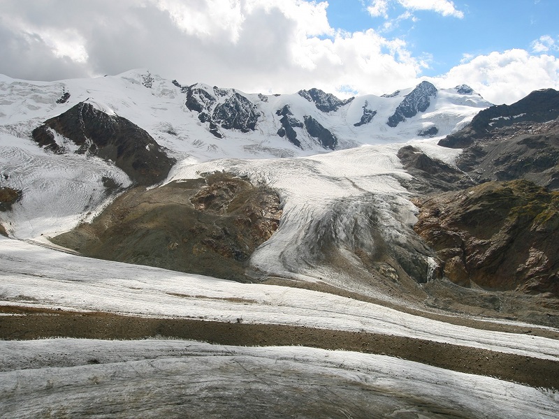
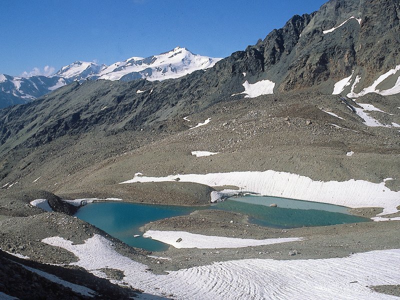
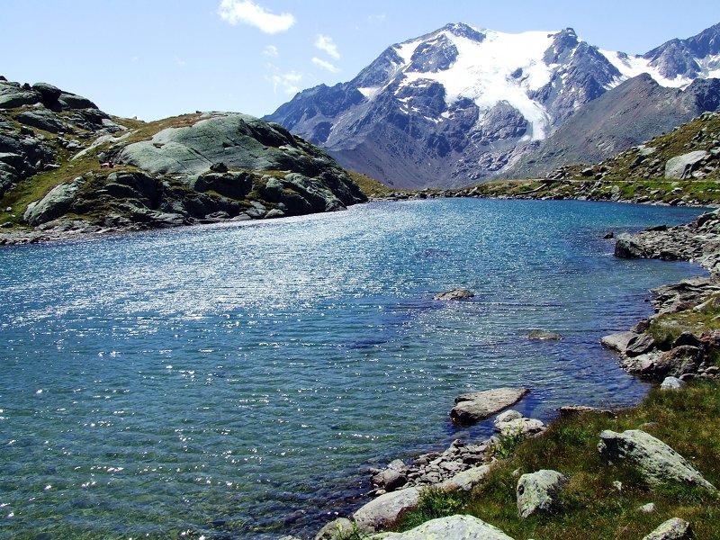
The paths wind along the Val Cedéc and the Forni Valley, located in the center of the Ortles - Cevedale group. The two valleys, shaped by the action of imposing glaciers, offer many points of observation for flora, fauna, landscapes and geomorphology.
![]() Download the Paths' Map in Forni Valley
Download the Paths' Map in Forni Valley
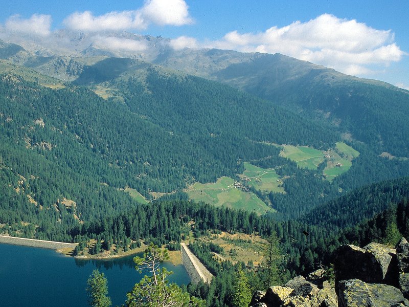
Fraele Valley
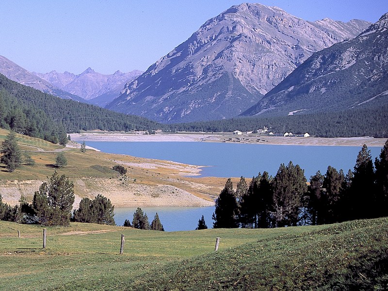
Wide and suggestive valley of glacial origin, the Fraele Valley is today characterized by the presence of two large artificial basins. Joined the Stelvio National Park in 1977, it is the ideal starting point for excursions to the surrounding valleys, which are still wild and unspoiled.
![]() Download the Paths' Map in the Fraele Valley
Download the Paths' Map in the Fraele Valley
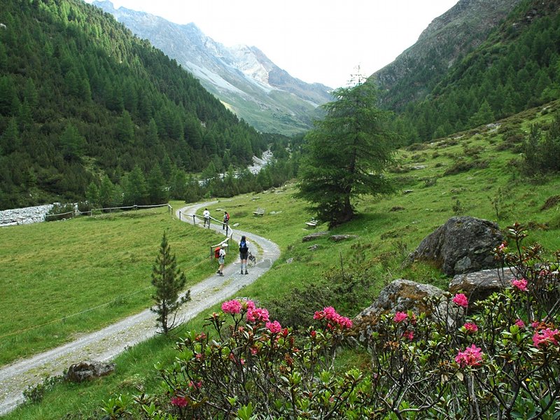
Val Zebrù
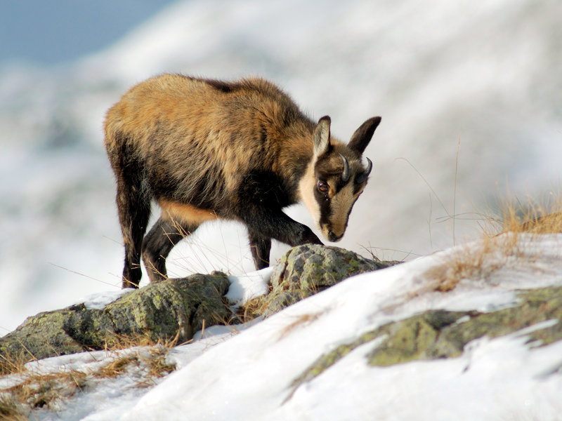
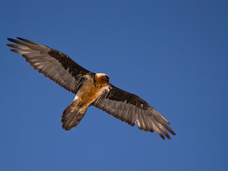
Val Zebrù is considered one of the most important valleys of the Stelvio National Park. Its particular morphology - which determines the marked difference between the two sides - its wealth of floristic species and its numerous ungulates, as well as the presence of the bearded vulture and the golden eagle make it an indispensable destination for tourists and nature lovers. The typical wooden constructions here testify to the exploitation of mankind since ancient times.
![]() Download the Paths' Map in Val Zebrù
Download the Paths' Map in Val Zebrù
La Réit
Réit is made up of an imposing limestone wall overlooking Bormio. Its steep slopes, rich in alpine flora and fauna, determine the favourable local climate, protecting Bormio from the cold wind that comes from the north-east.
![]() Download the Paths' Map of Réit
Download the Paths' Map of Réit
Rezzalo Valley
Located on the orographic left of the Adda river, the Rezzalo Valley develops for about 13 km, starting from the inhabited area of Fumero (1.465 mt) and following the path of the Rezzalasco stream to the Passo dell'Alpe. The itinerary consists of a military road, winding through the dense spruce woods that cover the right side, while on the left there are the steep valleys, colonized by the green alder, that overlook large cone-covered meadows.
Further information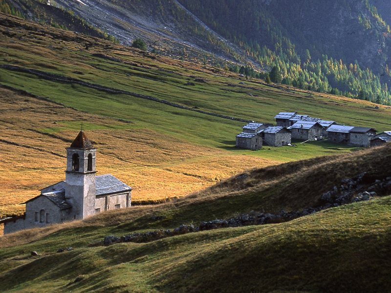
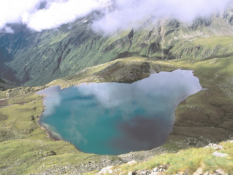
Gavia Pass
Nature Itineraries in Gavia Pass
The Gavia Valley represents one of the most beautiful examples of glacial morphology. The wide U-profile proves the immense work done by the glaciers in creating this high altitude landscape, populated by animals and plants that are adapted to this climate and to the very short summer season.
![]()
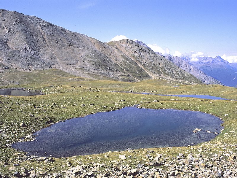
Stelvio Pass
Nature Itineraries in Stelvio Pass
Going up the historic Stelvio state road, built since 1820, you will reach the Stelvio Pass, the second highest Alpine pass in Europe. The high altitudes reached are characterized by signs of the "recent" presence of glaciers - even where ice has now disappeared - and are inhabited by highly specialized plants, in order to survive the difficult conditions of the high mountains.
![]()
Camuna Valleys
with the expansion in 1977, four Brescian valleys became part of the territory of the Stelvio National Park, on the right side of the Upper Camonica Valley (Val Grande, Val Canè, Val delle Messi and Val di Viso), together with a large area southwest of Valfurva and a large portion of territory between Bormio and Livigno.
![]() Download the Paths' Map in Camuna Valleys
Download the Paths' Map in Camuna Valleys
The Park Itineraries in the South Tyrolean sector
In Trentino
with equipment


