

Points of Interest
Points of Interest - history
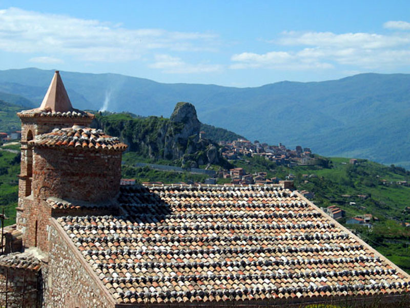
Municipality: Tortorici (ME)
Municipality: Caronia (ME)
Municipality: Caronia (ME)
Municipality: Bronte (CT)
Municipality: Santo Stefano di Camastra (ME)
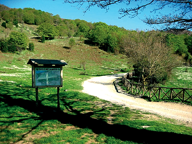
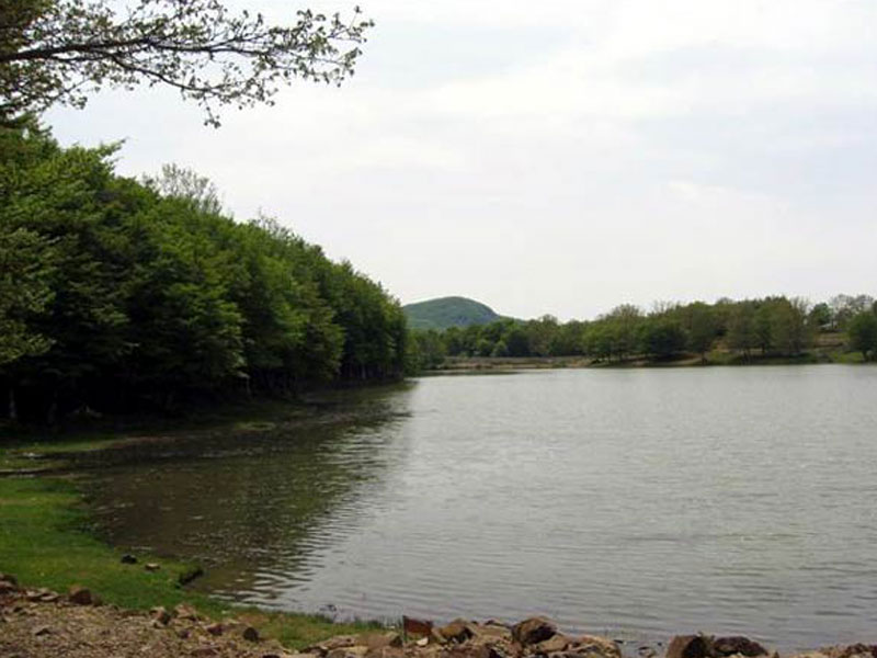
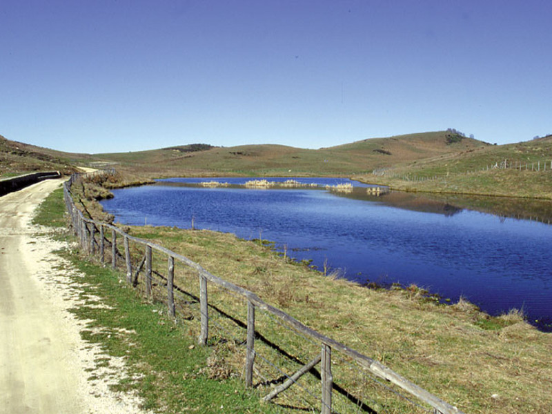
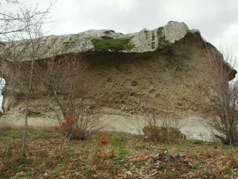
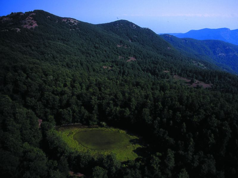
Points of Interest - nature
Municipality: Cesarò (ME)
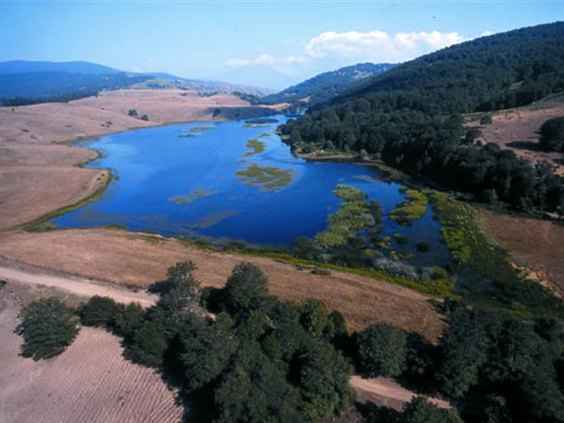
Municipality: Alcara li Fusi (ME)
Location: Cesarò (ME)
Municipality: Alcara li Fusi (ME)
Municipality: Longi (ME)
Municipality: Galati Mamertino (ME)
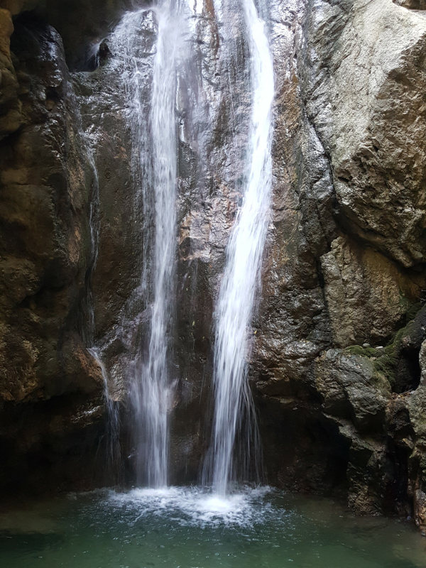
Municipality: Alcara li Fusi (ME)
Municipality: Alcara li Fusi (ME)
Municipality: San Fratello (ME)
Municipality: Tortorici (ME)
Portella dell'Obolo
Coal Thematic Path
Municipality: Cesarò (ME)
Municipality: Ucria (ME)
Municipality: Alcara li Fusi (ME)
Municipality: Acquedolci (ME)
Municipality: Mistretta (ME)
Municipality: Sant'Agata di Militello (ME)
Municipality: Caronia (ME)
Municipality: Mistretta (ME)
Municipality: San Fratello (ME)
Municipality: Caronia (ME)


© 2024 - Ente Parco Naturale Regionale dei Nebrodi