Quinzano d'Oglio - Regona
- Trail Conditions: By bike
- Interest: Panorama, Hystory
- Departure: Quinzano d'Oglio
- Arrival: Regona
- Difficulty Level: medium-easy, by city bike
- Length: 28.2 km
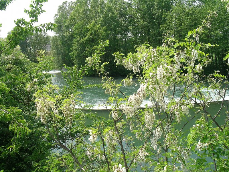
Cross Quinzano d'Oglio along the cycle path of the town, pass the industrial zone, following the main road to Pontevico, until you meet a short descent that leads to a tree-lined avenue. From here turn left onto a secondary road which, skirting fields and farmhouses, leads you to Monticelli d'Oglio, a hamlet of Verolavecchia. Arrived at the crossroads along the road under the castle of Monticelli d'Oglio, take a right uphill until you arrive at the beautiful main square of the town. Leave the hamlet, taking the downhill road on the right that allows you to get to the banks of the Oglio, where there was once a ferry, which allowed the connection with the Cremona shore. Continue on the main road until you meet a detour to the right, towards Pontevico.
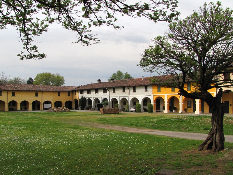
Walk along the S.P. 64 until you reach the town, take Via Marconi to Piazza Mazzini, from where it is possible to admire the castle of medieval origin. Continue downhill, passing the Museo del Maglio until you leave the historic center of Pontevico.
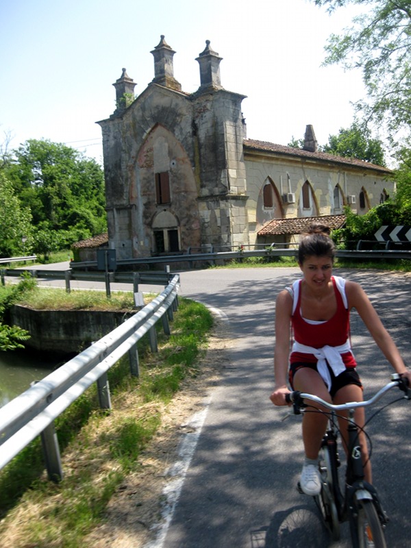
After the cemetery, take the first asphalted road on the right; after a fairly long stretch, the road becomes unpaved until the beginning of the hamlet of Chiesuola di Pontevico.
A short asphalted climb follows, which crosses the town and then crosses the underpass of the Brescia-Cremona motorway. The cycle path continues on a paved road: in this section, just follow the signs for the cycle path. Once past Dossi and reach a crossroads, turn right so that you are in front of the Sanctuary of the Madonna del Gavatino, and then immediately left. Continue on the asphalted road until you meet an intersection, turn left, flanking the Fienil Bianco farmhouse, after which the road still curves to the left; once arrived at the roundabout go straight (second exit) and turn to the first street on the right (Via Palazzine); the path continues following the main unpaved road that winds its way through cultivated fields and alluvial terraces along the Oglio river, until it crosses another main road (Via Goraro): turn right, pass the farmhouse and take the first road on the left. This section involves crossing a farmhouse: it is therefore recommended to pay attention to agricultural vehicles in transit. Once past the farmhouse, turn right, go straight on Via Canove in Regona towards the river Mella, near a crossroads, then keep left so as to quickly reach the bicycle and pedestrian bridge over the Mella, point of connection with Ostiano, the first village in the cycle path of the Sud Oglio Park.
Street: asphalted - unpaved
4ª Tappa: Cycle route of the Oglio River