Parco della fascia fluviale del Po - tratto Cuneese


Protected Area
Identity Card
- Land Surface Area: 7'780.14 ha
- Regions: Piemonte
- Provinces: Cuneo, Torino
- Municipalities: Barge, Cardè, Casalgrasso, Cavour, Crissolo, Envie, Faule, Gambasca, Martiniana Po, Moretta, Oncino, Ostana, Paesana, Pancalieri, Polonghera, Revello, Rifreddo, Saluzzo, Sanfront, Villafranca Piemonte
- Establishment Measures: LR 28 17/04/1990 - LR 65 13/04/95 - LR 38 20/11/98
- PA Official List: EUAP0458
Nature
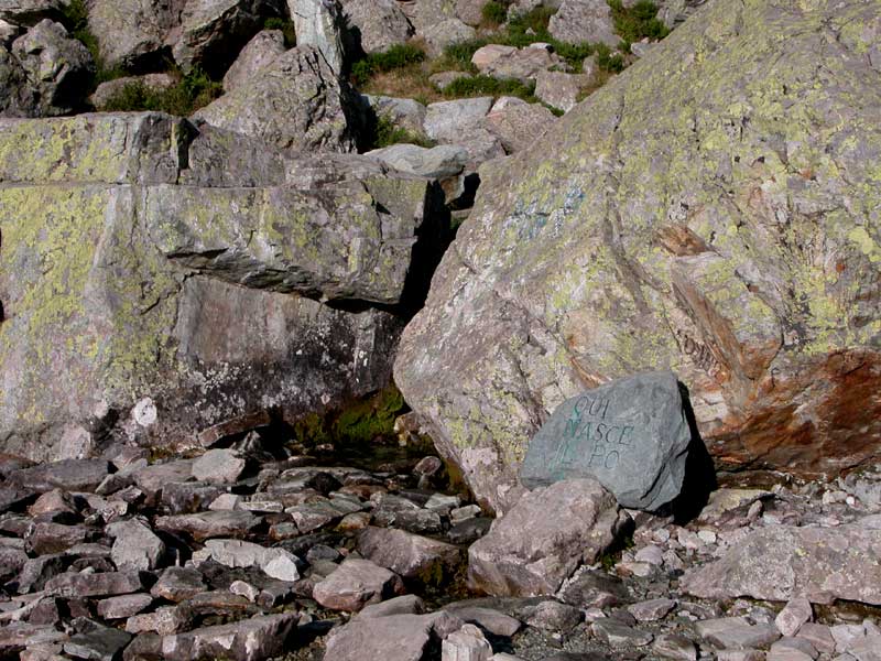
The river Po was born from the high-mountain lakes and peatbogs of the Monviso Group. The spring is historically and geographically identified at Pian del Re, in the Town of Crissolo, at 2,020 meters of altitude, at the foot of the Monviso.
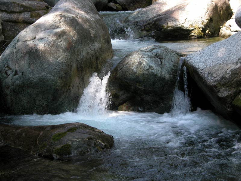
Only 13 kms divide the springs from the plain as the crow flies. In its first stretch, the river Po is a typical mountain stream which rapidly runs through the homonymous glacial U-shaped valley.
In the area of Pian del Re Nature Reserve there is a peatbog, an extremely interesting habitat from a botanical point of view, where "relicts" of glacial flora grow; here, a rare endemic amphibian lives, the Large Alpine Salamander.
Descending the valley, after Pian Melzé (Pian della Regina), 1,750 meters above sea-level, there is the wood dominated by Larches which extends itself up to Crissolo.
By going through the territories of Ostana and Oncino characterized by a broadleaf vegetation, after the confluence with the stream Lenta, the riverbed becomes less steep and it completely loses its gradient in Paesana (614 m above sea-level) where the valley opens in the alluvial plain.
The river Po, with a river area which is limited in the agricultural fields, goes on between two slopes covered with woods in the basin of Rocchetta, at the foot of Monte Bracco, an important geological formation and a site rich in archaeological, historical and architectural, and naturalistic evidences.
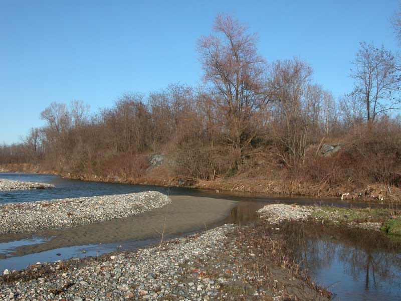
Downstream Martiniana Po, in summer it is possible to see karst phenomena which, for the contemporaneous presence of irrigation canals, lead to the drying up of the riverbed and to the appearance of large islands of gravel.
Near Revello (351 m above sea-level), the river goes ahead towards the North to get to Bronda Confluence Nature Reserve and in the area of naturalistic recovery of Ponte dei Pesci Vivi Recreational Area.
In Saluzzo (340 m above sea-level) the river Po becomes a river of the plain, slow and lazy. The riverbed lies on alluvial deposits of pebbles and sand, accompanied by a thick and spontaneous shrubby vegetation. The waters slow down and house several different species and a various riparian vegetation. Along the itinerary there are on the left bank the Abbey of Staffarda, an ancient monument built by the Cistercian monks in 1135 and Rocca di Cavour Nature Reserve. In the Middle Ages, these marshy territories were drained and transformed into productive lands.
After the confluence with the Stream Ghiandone, the river Po presents a more regular riverbed; the flow is abundant and allows the navigation during the whole year by canoe and by the typical "pointed boats".
The river Po meets therefore the stream Pellice, a left affluent bringing waters of high hydrobiological quality coming mainly from resurgences: it improves the quality and the quantity of the waters of the river. Pellice Confluence Nature Reserve (247 m above sea-level) and the adjacent Fontane Recreational Area represent the most interesting naturalistic areas.
The towns of the plain preserve precious evidences of the work of man during the centuries: mills, canals, stone locks.
In Casalgrasso there is the last Nature Reserve, that of the confluence with Varaita (241 m above sea-level), a right affluent.
At the bridge of the SS 623, the far Monviso reflects itself in the large river Po: here the territory of Parco del Po Cuneese ends.
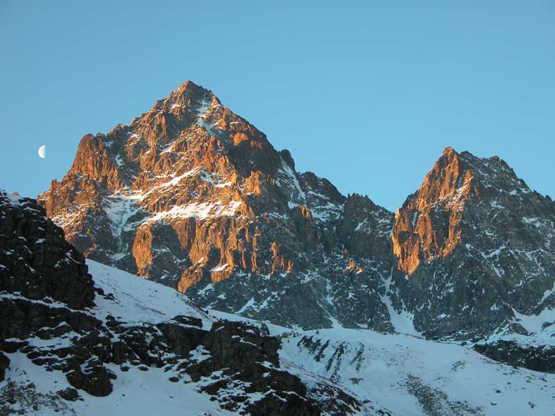
Monviso
Monviso, with its 3,841 meters a.s.l., clearly stands out in the
horizon of Alpi Cozie. The lithological conformation and the complex
geological events of its formation has surrounded this giant with
wonderful summits.
Above the town of Crissolo you can enjoy a
wonderful panorama consisting of a series of summits and rocky walls of
over 3,000m of altitude, broken by the giant silhouette of Monviso,
from which three main mountain ranges branch off. In the
north-northwest, the most imposing chain begins and gets to Mt.
Granero: names like Visolotto (3,348m), Punta Gastaldi (3,214m),
Punta Roma (3,070m), Punta Udine (3,022m), Punta Venezia (3,095m),
Colle delle Traversette with the underlying Buco di Viso evoke intense
pages of mountain and mountain climbing history. In the south -
southeast, there is a ridge whose highest summits are Punte Sella
(3,443m), Barracco (3,237m), Piemonte (3,109m), Michelis (3,154m)
which branches off towards Punta Trento (2,970m) and Punta Dante
(3,166m) and Rocce Meano (3,060m).
On the slope of Varaita Valley, from the summit towards south-west, we
find the imposing Viso di Vallanta (3,781m), Punte Corsica (3,443m)
and Caprera (3,387m) and Rocce di Viso (3,176m).
Further significant mountains are Viso Mozzo (3,019m) with its
unmistakable silhouette, the summits of Bigorie Valley (among which
Testa Rossa and Punta Murel), and Sea Bianca (2,721m).

The Environments
One of the main features of Po Cuneese Park is the considerable altimetric range characterizing the territory, from the 3,841 meters of Monviso summit to the 240 meters of Casalgrasso plain, at the border with the Province of Turin. Such difference in height leads to the presence of all the environments of Piedmont, including the lake environments represented by the quarry lakes.
Fauna
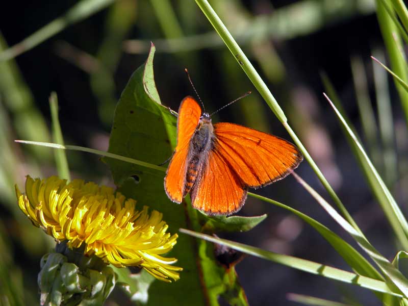
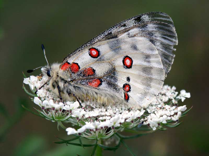
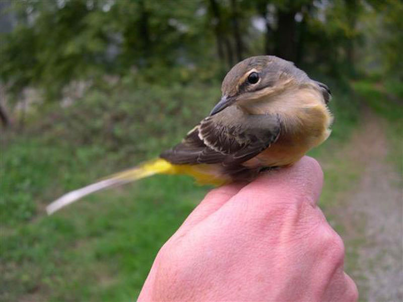
The great variety of the environments of Po Cuneese Park is completed by the great number of animal species. Every corner, every ravine is populated, up to the highest peaks...
(the following links lead to Italian texts)
Technical Aspects

Nature Reserves
- Pian del Re (special nature reserve and recreational area)
- Confluenza del Bronda (nature reserve)
- Confluenza del Pellice (nature reserve)
- Confluenza del Varaita (nature reserve)
- Rocca di Cavour (nature reserve)
Recreational Areas
- Paesana (recreational area)
- Paracollo - Ponte Pesci vivi (recreational area)
- Fontane (recreational area)