


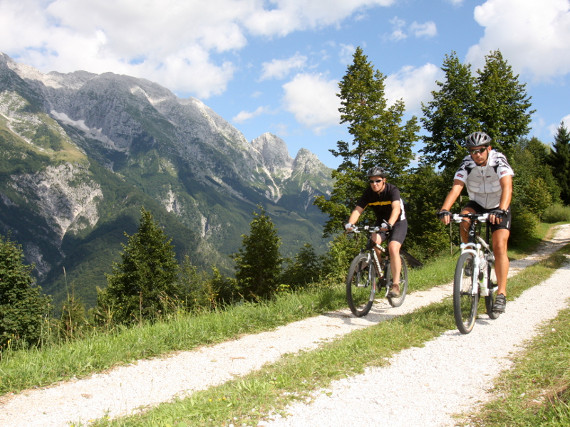
Itinerary 4: High Val Resia ring-route
- Trail Conditions: By bike
- Interest: Panorama, Photography
- Duration: 3h without stops
- Difficulty Level: MC/BC+
- Length: 21 km
- Land: asphalt, cart track, path
- Ciclability: 90%
- Difference in height: +1037 mt
- Maximum slope +: 38,2%
- Maximum slope -: 38,3%
- Average slope +: 9,7%
- Average slope -: 11,5%
- Maximum height: 1194 mt
- Minimum height: 496 mt


© 2024 - Ente parco naturale delle Prealpi Giulie