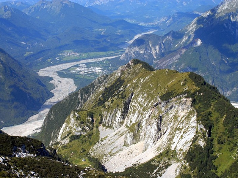
Cjariguart Valley
The name Cjariguart or Cjadiguart, as we find in the old maps, probably derives from "Cjare" = goat and "guart" = enclosure, and indicates the upper section of Lavaruzza Valley, a large valley situated between the two chains of Soreli Mountains – Laraset and Somp Selve – Cervada, ending in the east with the summit of Mt. Plauris.
The severe and wild aspect of the lower section of the valley becomes gentler if you climb across the steep knick of the Pares to the edge of Cjariguart Valley where gravels, boulders, slabs, and rocky formations form the background of the fertile alpine pastures enriched with cool springs. In the valley, rests of ancient dry-stone built structures and a crucifix carved into a rocky spur in 1651 witness the ancient and emblematic presence of man in these charming places. The place was already used in the last century for summer grazing activities, since it used to house a municipal "malga" built in 1896, with 50 heads, mainly cattle and goats, using the pre-summer pastures in Casere del Plan dai Portolans and Cuel de Fratte.
Afterwards, the "malga" was no longer used as such, but as shelter. The building was then destroyed by several landslides, and it has been replaced by a new structure: the shelter Cjariguart is formed by a cosy brickwork structure offering 15 beds and always open to the public, maintained thanks to the volunteers from Venzone. You can reach shelter Cjariguart on foot from Portis di Venzone (CAI trail no. 728/a), from Località Tugliezzo (CAI trail no. 701), and from malga Ungarica (CAI trails no. 705 and 728/a).