


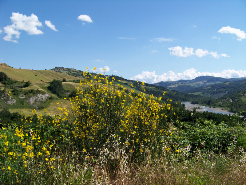
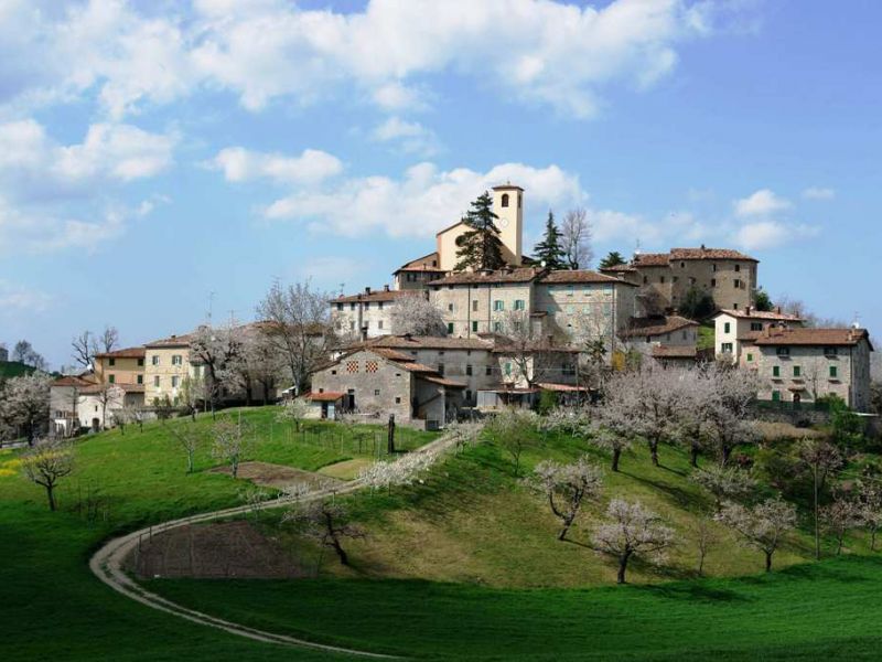
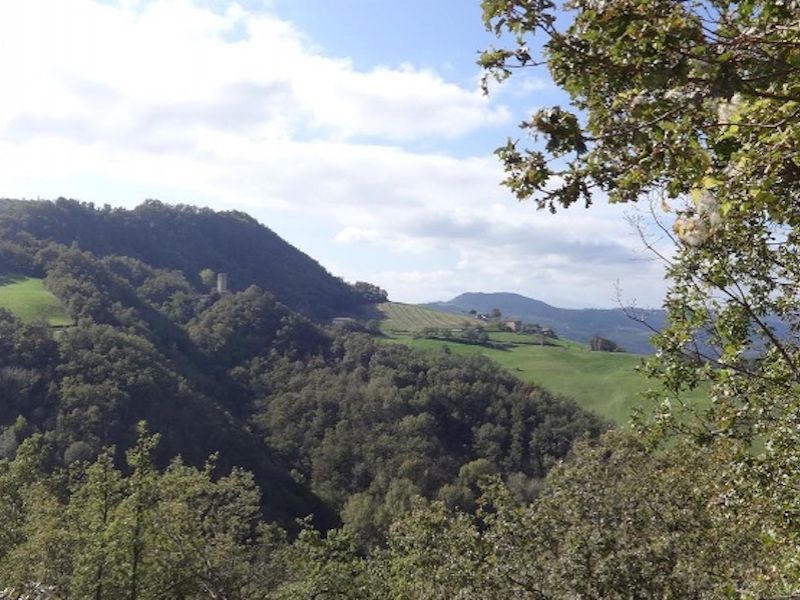
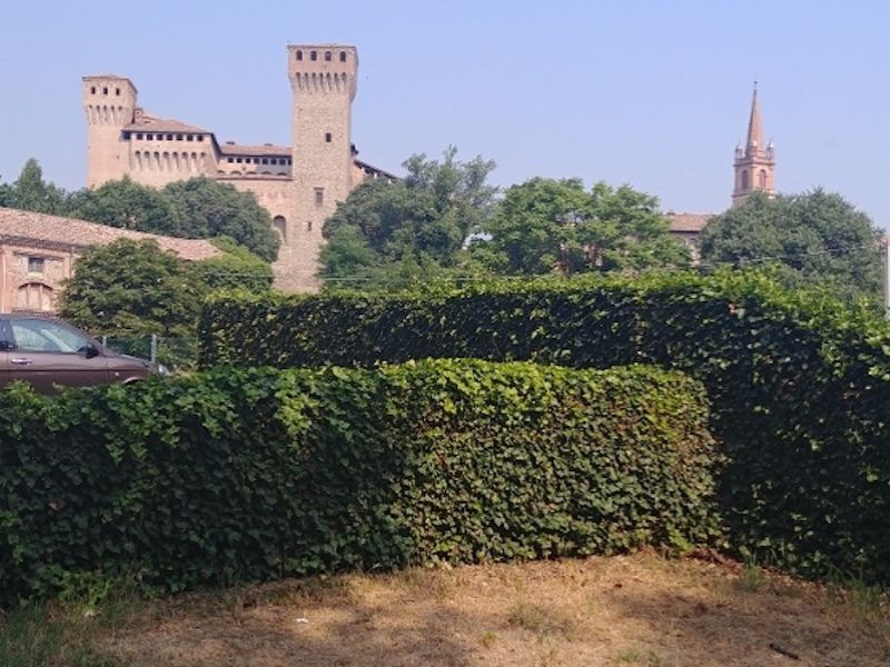
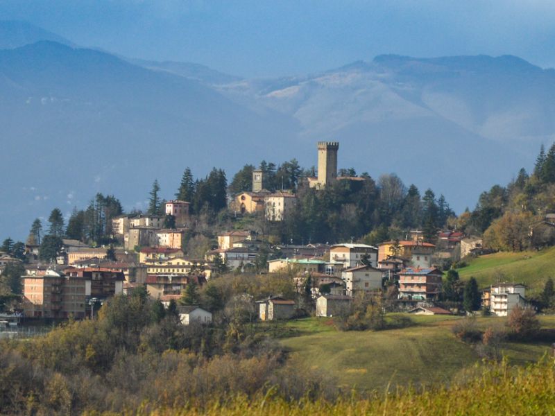
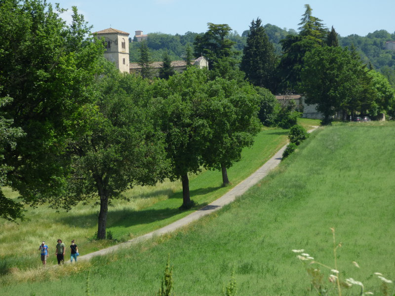
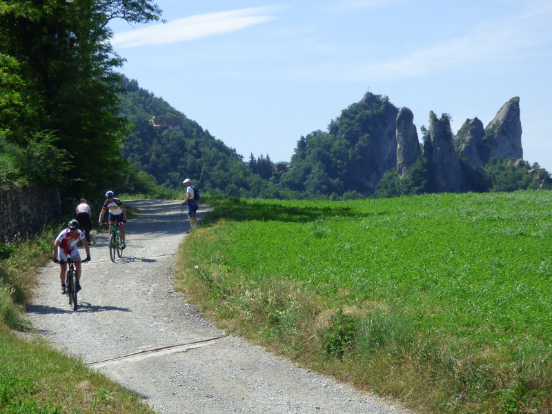
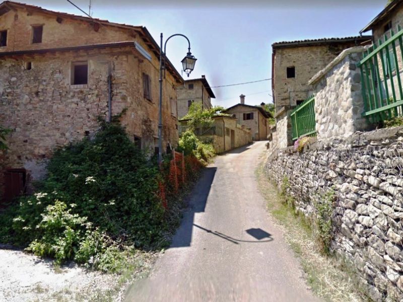
Itineraries
Itineraries
The Park Trail (Trail No 1)
From Casona di Marano sul Panaro to Zocca
Map with georeferenced itinerary
Typology: On foot
Difficulty Level: E - Hiking (level)
Duration: 10 h 1 m
Between History and Nature (Trail No 2)
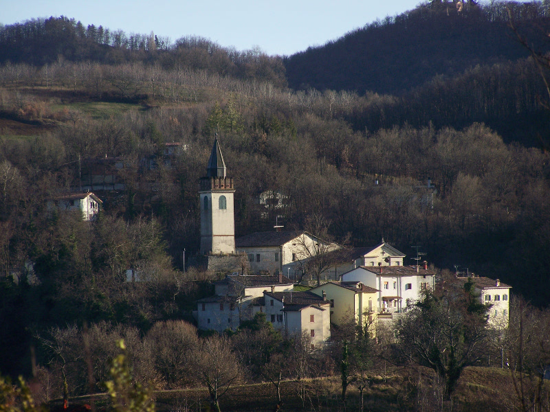
From La Casellina di Roccamalatina to La Casellina di Roccamalatina
Map with georeferenced itinerary
Typology: On foot
Difficulty Level: E - Hiking (level)
Duration: 2 h 9 m
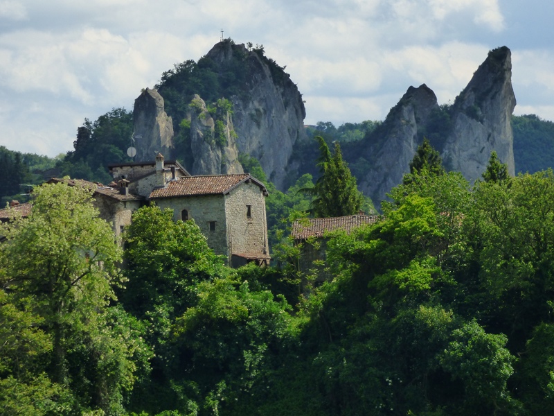
The Sassi Loop (Trail No 3)
From Pieve di Trebbio to Pieve di Trebbio
Map with georeferenced itinerary
Typology: On foot
Difficulty Level: E - Hiking (level)
Duration: 4 h 18 m
Up to Sasso della Croce (Trail No 4)
From Borgo dei Sassi to Cima del Sasso della Croce
Map with georeferenced itinerary
Typology: On foot
Difficulty Level: EEA - For expert hikers
with equipment
with equipment
Duration: 6 m
Across woods and meadows to Samone (Trail No 7)
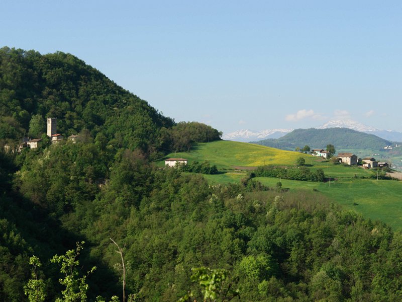
From Roccamalatina to Samone
Map with georeferenced itinerary
Typology: On foot
Difficulty Level: E - Hiking (level)
Duration: 1 h 44 m
Hamlets, churches and wide overviews (Trail No 8)
From Castle delle Formiche to Samone
Map with georeferenced itinerary
Typology: On foot
Difficulty Level: T - Tourist (level)
Duration: 1 h 45 m
From Sassi to Sasso (Trail No 9)
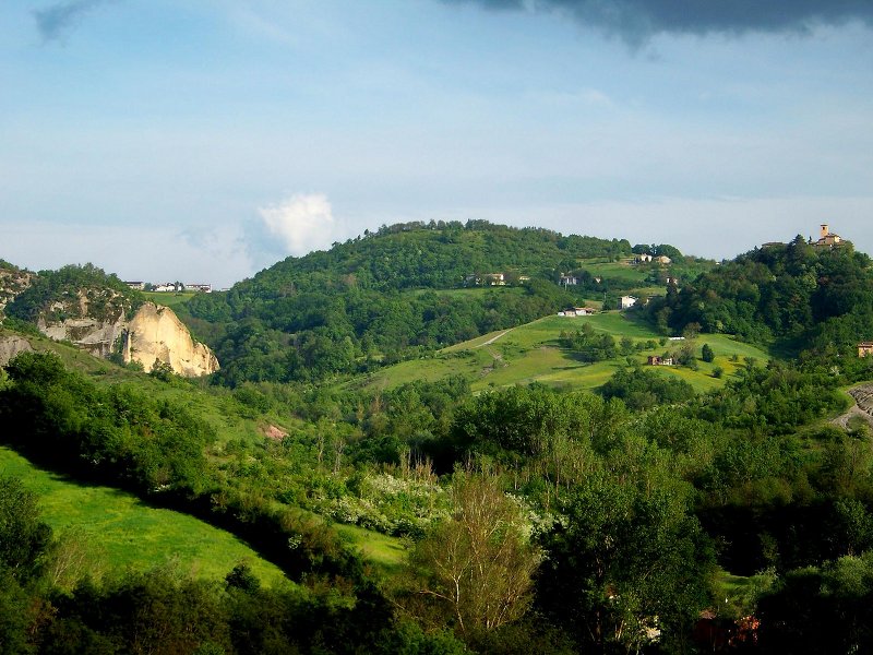
From Roccamalatina to Montombraro
Map with georeferenced itinerary
Typology: On foot
Difficulty Level: E - Hiking (level)
Duration: 3 h 52 m

Ancient hamlets and landscapes (Trail No 10)
From Montecorone to Zocca
Map with georeferenced itinerary
Typology: On foot
Difficulty Level: T - Tourist (level)
Duration: 2 h 59 m
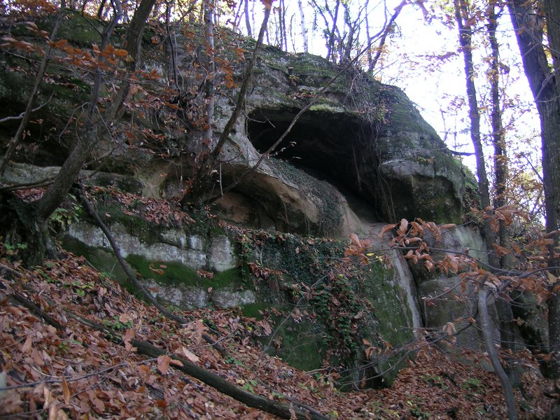
A few steps in the Wood delle Tane (Trail No 11)
From Montecorone to Zocca
Map with georeferenced itinerary
Typology: On foot
Difficulty Level: E - Hiking (level)
Duration: 2 h 52 m
The sides of the Panaro river (Trail No 12)
From Festà di Marano sul Panaro to Sant'Apollonia
Map with georeferenced itinerary
Typology: On foot
Difficulty Level: E - Hiking (level)
Duration: 3 h 38 m
Trekking between History and Nature, Stage 2
From Zocca to Casona
Map with georeferenced itinerary
Typology: On foot
Difficulty Level: E - Hiking (level)
Duration: 11 h 23 m
Trekking between History and Nature, Stage 1
From Casona to Zocca
Map with georeferenced itinerary
Typology: On foot
Difficulty Level: E - Hiking (level)
Duration: 9 h 31 m
Romea Strata T12NL
From Samone to Montese
Map with georeferenced itinerary
Typology: On foot
Difficulty Level: E - Hiking (level)
Duration: 9 h 57 m
Romea Strata T09NL
From Spilamberto to Samone
Map with georeferenced itinerary
Typology: On foot
Difficulty Level: E - Hiking (level)
Duration: 12 h 39 m
Eastern Romea Nonantolana, Stage 4
From Samone to Montese
Map with georeferenced itinerary
Typology: On foot
Difficulty Level: E - Hiking (level)
Duration: 9 h 45 m
Eastern Romea Nonantolana, Stage 3
From Vignola to Samone
Map with georeferenced itinerary
Typology: On foot
Difficulty Level: E - Hiking (level)
Duration: 10 h 8 m
Parco dei Sassi Bike Trail
From Vignola to Vignola
Map with georeferenced itinerary
Typology: By bike
Duration: 21 h 21 m
Eurovelo 7, Variant No 2
From Modena to Vergato
Map with georeferenced itinerary
Typology: By bike
Duration: 34 h 59 m


© 2024 - Ente di gestione per i Parchi e la Biodiversità Emilia Centrale