

Itineraries
Itineraries and Trails
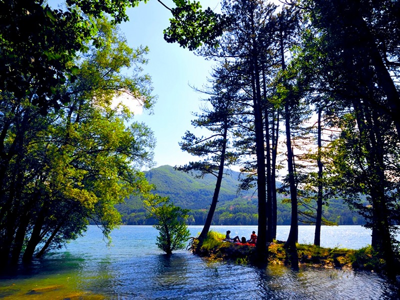
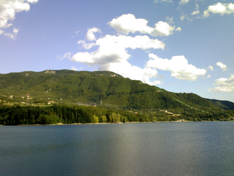
The park extends across the central Bolognese Apennines around two large reservoirs created in the early 1900s for hydroelectric power production. The extended ridge formed by Mount Calvi (1283 m a.s.l.) and Mount Stagno separates the valleys of the Brasimone and Limentra di Treppio Streams, the main tributaries of the two lakes. The slopes and sandstones of the main elevations along the western part of the mountain range and below the Brasimone reservoir, forming the stunning Cinghi delle Mogne, are almost completely covered in mixed forests of oak, beech and replanted conifers.
Further information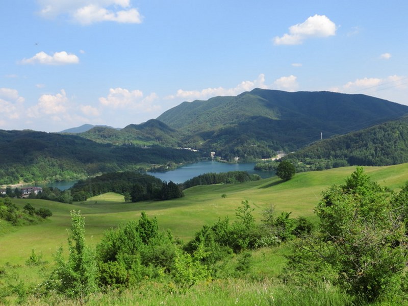
Panorama
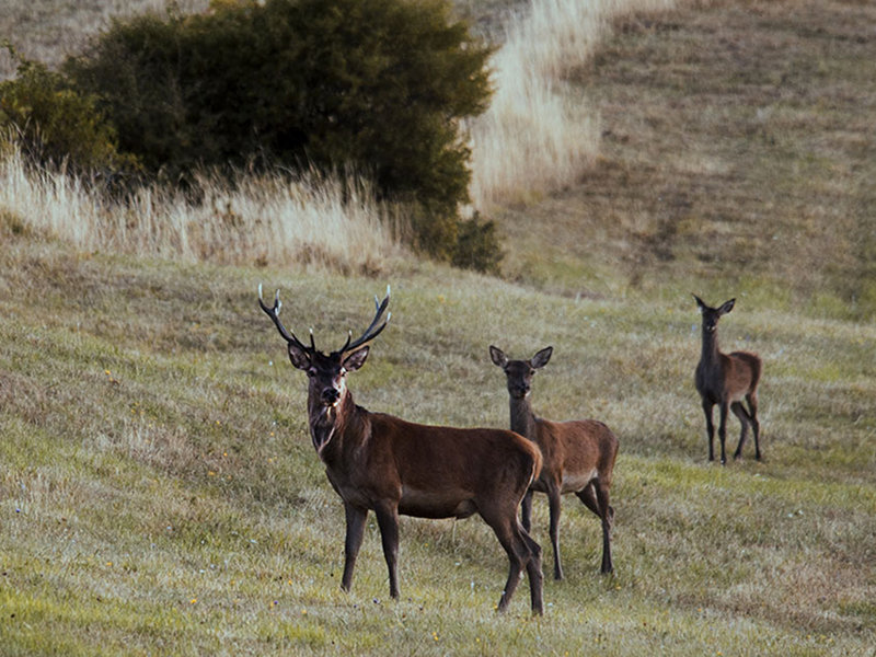
Discovering the Deer
Departure: Poranceto
Map with georeferenced itinerary
Typology: On foot
Difficulty Level: E - Hiking (level)
Duration: 4 h 30 m
Interest: Flora, Wildlife, Panorama
Flora and history of the mountain ridge
Stagno-Chiapporato - La Pianaccia - Monte di Stagno - Capravecchia - Stagno
Departure: Stagno
Map with georeferenced itinerary
Typology: On foot
Difficulty Level: High
Interest: Flora, Wildlife, Panorama, History
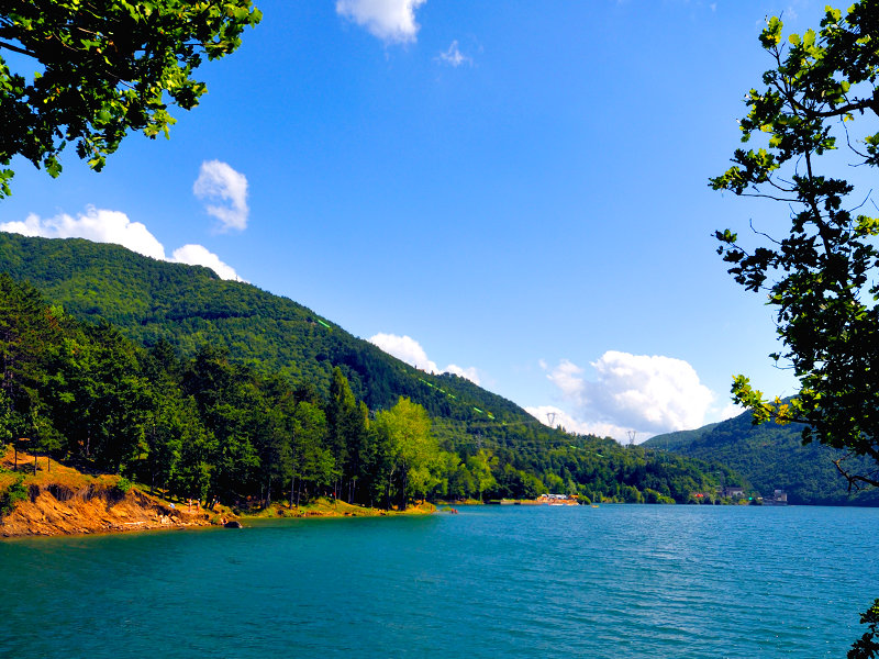
From Lake to Lake
Fonte dell'Amore - Stagno - Monte di Stagno - Barbamozza - Poranceto - Serra dello Zanchetto
Departure: Sponda sinistra Bacino di Suviana
Map with georeferenced itinerary
Typology: On foot
Difficulty Level: E
Duration: 5 h
Interest: Flora, Wildlife, Panorama
Re di Macchia
Departure: Castiglione dei Pepoli
Map with georeferenced itinerary
Typology: On foot
Difficulty Level: T - Tourist (level)
Duration: 3 h
Interest: Flora, Panorama, Photography
The Alta Via dei Parchi
A long hike in the northern Apennines
The Alta Via dei Parchi is a 27 stages long itinerary to be walked along the Apennines between Emilia-Romagna, Tuscany and the Marches.
11 - Rif. Monte Cavallo - Poranceto
When hiking this longest of the Alta Via stages there is a considerable drop in altitude: it may be better to spend the night in Badi or on the shores of Lake Suviana.
Departure: Rif. Monte Cavallo
11 Lap of: Alta Via dei Parchi
Map with georeferenced itinerary
Typology: On foot
Duration: 10 h
Interest: Flora, Wildlife, Panorama
12 - Poranceto - Boccadirio
This is a day of walking almost entirely in the woods, with some stretches on minor roads.
Departure: Poranceto
12 Lap of: Alta Via dei Parchi
Map with georeferenced itinerary
Typology: On foot
Duration: 5 h 30 m
Interest: Flora, Wildlife, Panorama
13 - Boccadirio - Alpe di Monghidoro
This undemanding stage runs largely in the open landscape of the mid Apennines.
Departure: Boccadirio
13 Lap of: Alta Via dei Parchi
Map with georeferenced itinerary
Typology: On foot
Duration: 5 h
Interest: Flora, Panorama, Religion


© 2024 - Ente di gestione per i Parchi e la Biodiversità - Emilia Orientale