

Itineraries
Itineraries
Here attached the map of the main itineraries of the Park
Map with georeferenced itinerary
Typology: On foot
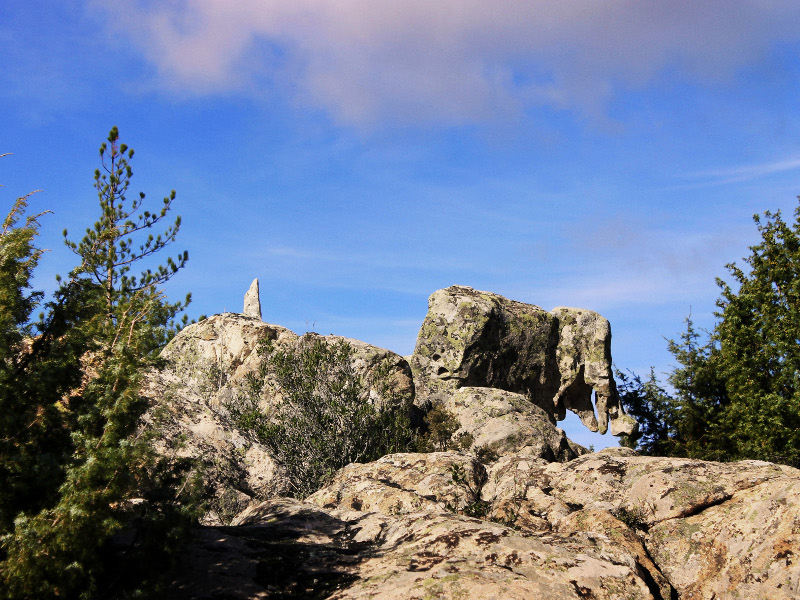
Difficulty Level: Easy
Map with georeferenced itinerary
Typology: On foot
Difficulty Level: Demanding
Map with georeferenced itinerary
Typology: By bike
Difficulty Level: Intermediate
Map with georeferenced itinerary
Typology: On foot, By bike
Difficulty Level: Intermediate
Map with georeferenced itinerary
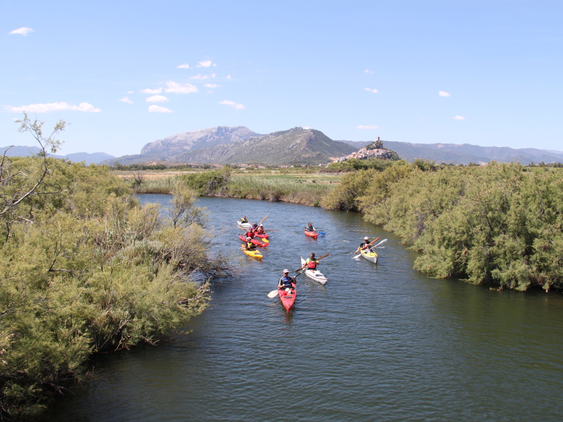
Typology: Canoe
Difficulty Level: Demanding
Map with georeferenced itinerary
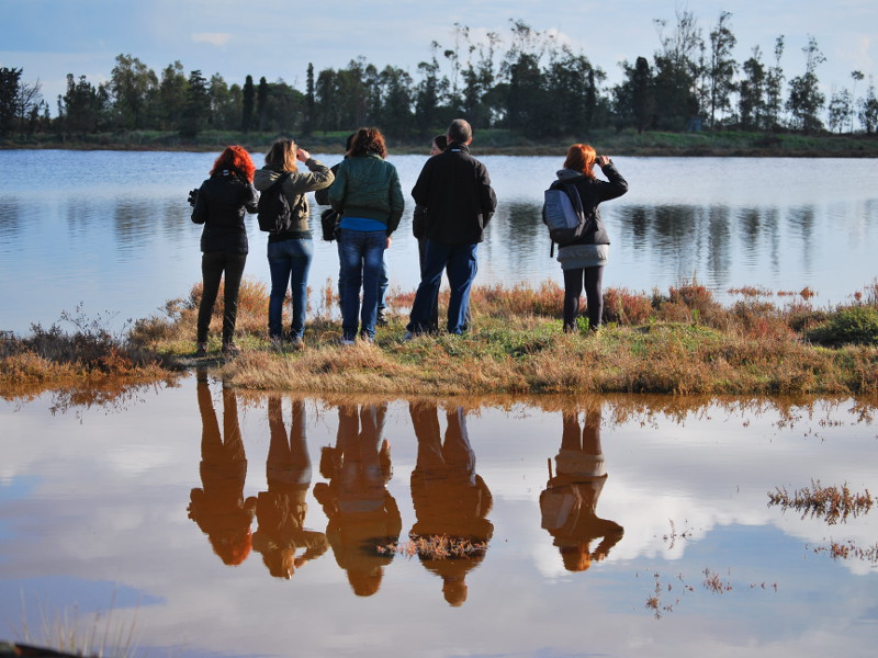
Typology: On foot
Difficulty Level: Intermediate
Map with georeferenced itinerary
Typology: On foot
Difficulty Level: Easy
Map with georeferenced itinerary
Typology: On foot, By bike
Difficulty Level: Easy
Map with georeferenced itinerary
Typology: On foot
Difficulty Level: Intermediate
The sources' path
Brunella (Torpè) - Usinavà Visitor Centre
Map with georeferenced itinerary
Typology: On foot
Difficulty Level: Demanding
Map with georeferenced itinerary
Typology: By bike
Difficulty Level: Easy
Map with georeferenced itinerary
Typology: On foot
Difficulty Level: Easy
Main connection path among the 4 Park municipalities
Typology: Car
Typology: Car
Typology: Car
Typology: Car


© 2024 - Ente Parco di Tepilora