Parks.it Homepage

Parco Naturale della Val Troncea


Itineraries

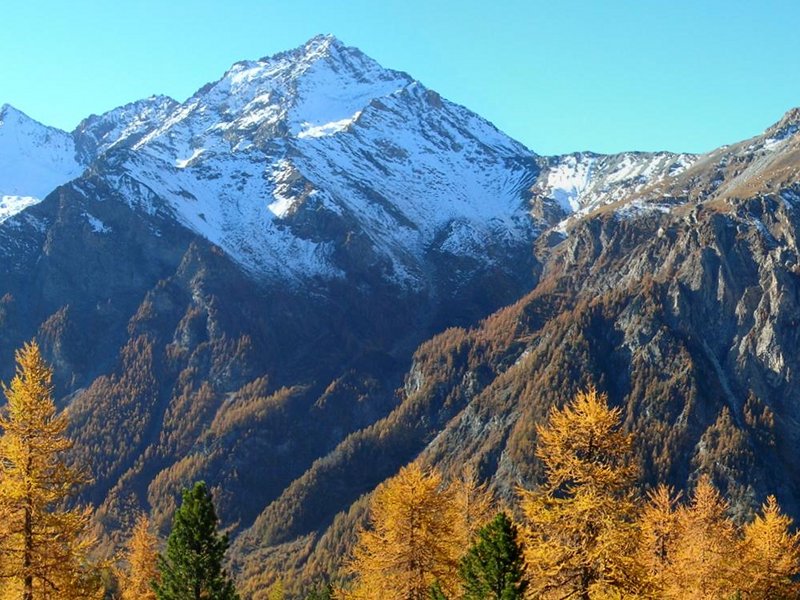
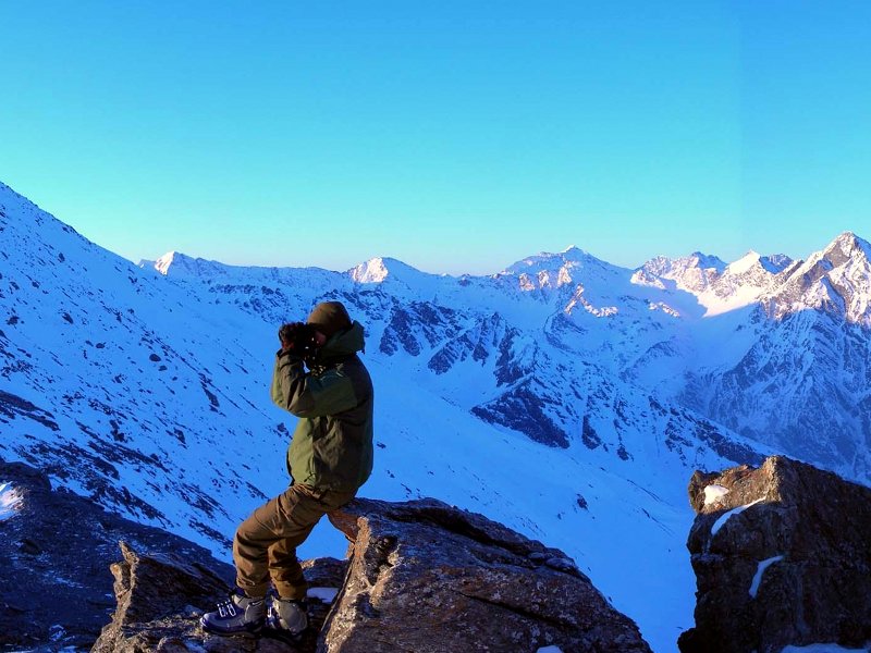
You can freely visit the Park in every season. Only in the areas of Banchetta-Vallonetto Strict Nature Reserve, established for the protection of the chamois, and in the area of the Beth, where particular floristic species are safeguarded, there are restrictions. In these territories you must follow the trails and it is forbidden to lead dogs. In the other areas of the Park it is possible to lead dogs on leash. There are twenty-two trails marked by the Park Authority with the red-yellow tables and with wooden panels. They lead to very different environments, from the larch wood to the grazing land. You can go along the trails on foot or, where it is signalled, on horseback. It is forbidden to use all-terrain vehicles and bikes. The latter can be used on all forest itineraries, even those where vehicles are not allowed.
In winter, it is possible to ski at the bottom of the valley along a beautiful cross-country track.

Itineraries
Alpe del Meys
Departure: bivio presso Troncea
Typology: On foot
Duration: 2 h 30 m
Beth Trail
Beth Trail
Departure: Borgata Troncea
Typology: On foot
Duration: 3 hours uphill - 2 hours downhill
Interest: Flora, Wildlife, Panorama, Photography

The Park Trails

Further information
Colle della Valletta (2,690m) from Meys (2,000m)
Itinerary no. 18
Departure: Meyes
Typology: On foot
Difficulty Level: T - Tourist (level)
Duration: 2 h
Typology: On foot
Difficulty Level: T - Tourist (level)
Duration: 1 h 30 m
From Borgata Troncea (1,915m) to Forni di San Martino (2,320m)
Itinerary no. 7
Departure: Borgata Troncea
Typology: On foot
Difficulty Level: T - Tourist (level)
Duration: 1 h 30 m
From Chisone springs (2,650m) from the Junction to Col Clapis (2,200m)
Itinerary no. 17
Departure: Bivio per il Col Clapis
Typology: On foot
Difficulty Level: T - Tourist (level)
Duration: 1 h
Typology: On foot
Difficulty Level: T - Tourist (level)
Duration: 2 hours downhill, 3 hours uphill
From Colle dell'Arcano (2,781m) to Colle del Beth (2,786m)
Itinerary no. 11
Departure: Colle dell'Arcano
Typology: On foot
Difficulty Level: T - Tourist (level)
Duration: 40 m
From Forni di San Martino (2,320m) to Colle del Beth (2,785m)
Itinerary no. 9
Departure: Forni di San Martino
Typology: On foot
Difficulty Level: T - Tourist (level)
Duration: 1 h 30 m
From Forni di San Martino (2,320m) to Colle dell'Arcano m (2,781m)
Itinerary no. 8
Departure: Forni di San Martino
Typology: On foot
Duration: 1 h 30 m
From Meys (2,000m) to Col Clapis (2,851m)
Itinerary no. 16
Departure: Meys
Typology: On foot
Difficulty Level: T - Tourist (level)
Duration: 3 h
From Mt. Morifreddo (2,767m) to Colle dell'Arcano (2,784m)
Itinerary no. 10
Departure: Monte Morifreddo
Typology: On foot
Difficulty Level: T - Tourist (level)
Duration: 1 h
From Plan to Laval (1,677m)
Itinerary no. 1
Departure: Plan
Typology: On foot
Difficulty Level: T - Tourist (level)
Duration: 30 m
Typology: On foot
Difficulty Level: T - Tourist (level)
Duration: 20 m
From Seytes (1,919m) to Mt. Morifreddo (2,769m)
Itinerary no. 21
Departure: Seytes
Typology: On foot
Difficulty Level: T - Tourist (level)
Duration: 2 h 40 m
From Seytes (1,919m) to Troncea (1,915m)
Itinerary no. 4
Departure: Seytes
Typology: On foot
Difficulty Level: T - Tourist (level)
Duration: 30 m
From the Junction to Fonderia La Tuccia (1,740m) to Borgata Troncea (1,915m)
Itinerary no. 6
Departure: Bivio per la Fonderia La Tuccia
Typology: On foot
Difficulty Level: T - Tourist (level)
Duration: 30 m
From the Junction to Fonderia La Tuccia (1,740m) up to Ponte di Laval (1,668m)
Itinerary no. 5
Departure: Bivio per la Fonderia La Tuccia
Typology: On foot
Difficulty Level: T - Tourist (level)
Duration: 40 m
From the Junction to Troncea (1,772m) to Meys (2,045m)
Itinerary no. 14
Departure: Bivio per Troncea
Typology: On foot
Duration: 1 h 15 m
From Troncea (1,915m) to Gourret (1,840m)
Itinerary no. 13
Departure: Troncea
Typology: On foot
Difficulty Level: T - Tourist (level)
Duration: 30 m
Typology: On foot
Difficulty Level: T - Tourist (level)
Duration: 40 m
Typology: On foot
Difficulty Level: T - Tourist (level)
Duration: 40 m
share-stampashare-mailQR Codeshare-facebookshare-twitter
© 2024 - Ente di gestione delle aree protette delle Alpi Cozie