Morlupo - Sacrofano
Itinerary on foot
- Trail Conditions: On foot
- Duration: 3 hour/s 30 minutes
- Difficulty Level: intermediate
- Length: 7400 km
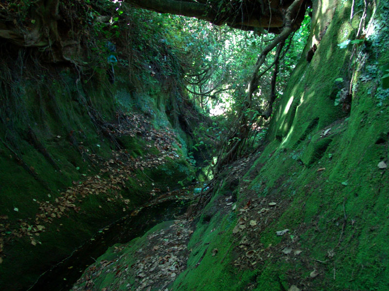
The longest itinerary connecting two Municipalities of the Park through the large pastures of the municipal estate of the "Quarti", alternating with deep woody ravines. It touches Castellaccio, Fontanile Citerna, Mt. Calvio, Sorgente Acqua Ferrosa, Mt. San Silvestro (it is recommended to use two cars).
Alternative departure points:
a) from Magliano Romano station. First stretch in common with the itinerary of Castellaccio, continuing then to the ditch of Mt. Rosella, Coste della Croce, Fontanile Citerna
b) from Castelnuovo di Porto station. First stretch in common with the other itinerary of Castellaccio, continuing then with a detour on the left beyond the ditch of Mt. Rosella towards the road of Mt. Santa Maria and along a downhill trail to Fontanile Citerna.