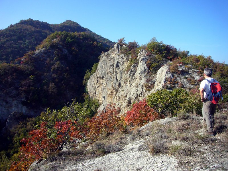
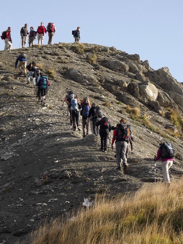
Itineraries
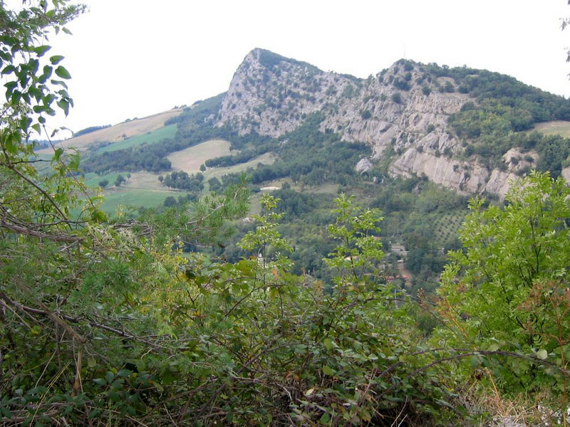
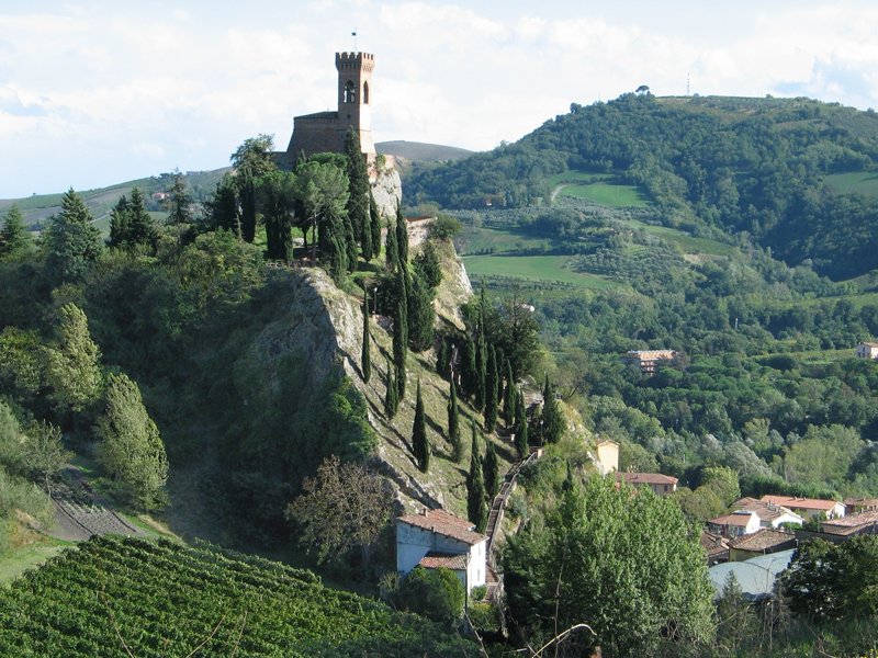
Vena del Gesso is perpendicularly crossed by three main river valleys (Santerno, Senio, Sintria), and by a fourth valley going along it in the east (Lamone).
The four gypsum bars delimited by the watercourses are interested by as many ring-route itineraries, to follow on foot.
A fifth itinerary connects the whole pedestrian system from one end to the other of Vena del Gesso Romagnola Park.
This system of hiking trails is directly managed by Club Alpino Italiano (CAI), in collaboration with the Park Authority.
![]() Download the Park's Charter (1,6Mb)
Download the Park's Charter (1,6Mb)
![]() Download the brochure Sicuri sulla Vena del Gesso Romagnola (694Kb)
Download the brochure Sicuri sulla Vena del Gesso Romagnola (694Kb)
Paths in the Park
![]() Download the Park Map (2,1Mb)
Download the Park Map (2,1Mb)
![]() Download the brochure "Sicuri sulla Vena del Gesso Romagnola" (694Kb)
Download the brochure "Sicuri sulla Vena del Gesso Romagnola" (694Kb)

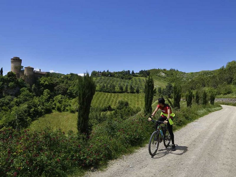
Mountain Bike Itineraries

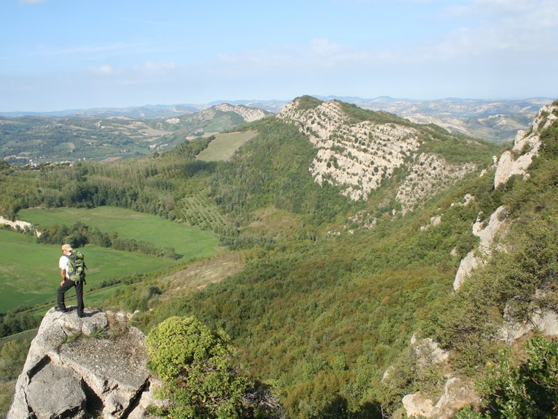
The Alta Via dei Parchi
A long hike in the northern Apennines
The Alta Via dei Parchi is a 27 stages long itinerary to be walked along the Apennines between Emilia-Romagna, Tuscany and the Marches.
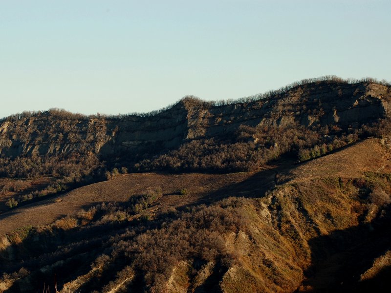
Hiking Trails
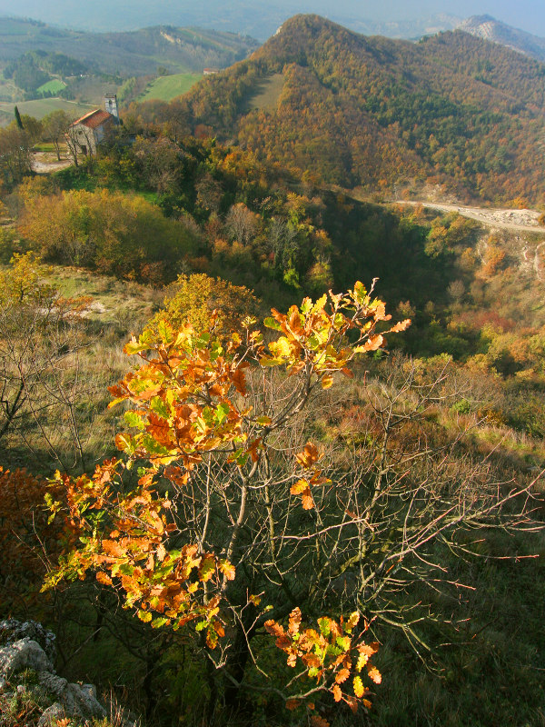
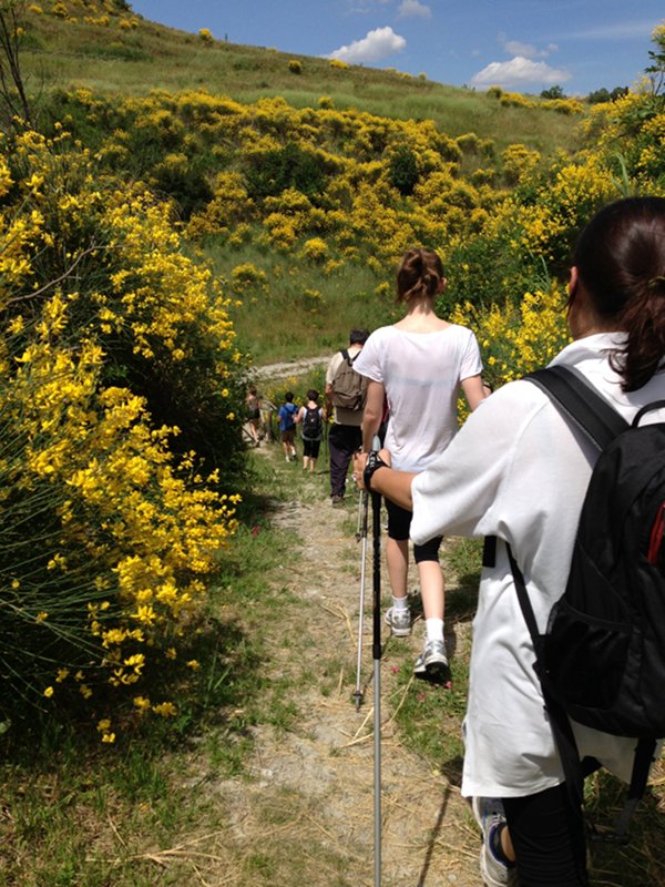
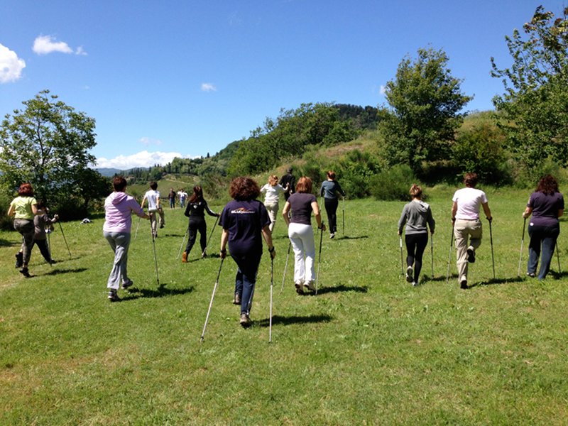
Nordic Walking Park in Vena del Gesso Romagnola
The Nordic Walking Park is a network of short circuits, perfect for people who want to start moving with sticks, following the signs that indicate distances and degrees of difficulty. These itineraries allow you to visit the most typical places of Vena del Gesso, through the history, the geology and the wonderful landscapes of Brisighella.
The sticks and the different paths are useful for longer and longer training, improving coordination and physical endurance.
Each itinerary starts from and arrives at a parking space where it is possible to park the car. Sticks are given freely at the Tourist Office of Brisighella and at the Visitor Center Ca' Carnè.
![]() Download the brochure (In Italian - 26,5Mb)
Download the brochure (In Italian - 26,5Mb)

Paths' connection:
Path no. 2 is directly linked both to no. 1 and no. 3.
1 + 2 = 5,5 km > Easy with short slopes.
2 + 3 = 8,84 km > Demanding with slopes and slippery in case it rains.
2 + 4 = 7,5 km > Demanding with slopes and slippery in case it rains.
1 + 2 + 4 = 9,3 km > Easy, but with slippery slopes in case it rains.
1 + 2 + 3 = 13 km > Demanding with slopes and slippery in case it rains.
1 + 2 + 3 + 4 = 16,5 km > Demanding both for length and for difficulty.
The Gypsum Way
A walk from Imola to Faenza within Parco della Vena del Gesso Romagnola, in the midst of nature, culture, and local products
Three days (or even better, four) for an incredible, 70-km long walk (with remarkable differences in elevation) between Imola and Faenza, two lively towns of Emilia-Romagna along the Via Emilia, across a spectacular and literally shining mountain ridge, entirely made of gypsum and now protected by the Regional Park Vena del Gesso Romagnola.