


1. Historical and geological route
- Trail Conditions: On foot
- Interest: Geology, Hystory
- Duration: about 50 minutes
- Difficulty Level: Easy in every season
- Length: 3.4 km
- Difference in height: Uphill 136m - Downhill 136m
- Recommended Period: from January to December
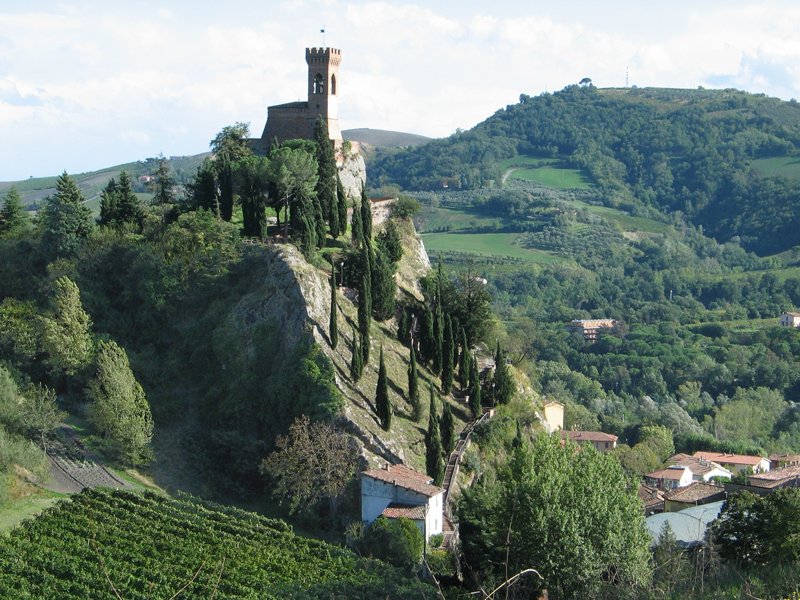
Places of interest: the three hills with the tower, the stronghold, the church of the Monticino, the Cava dei Gessi speleological museum in the open air, the Via deli Asini.
The itinerary begins in the train station by walking the opposite road. Beyond the Via Roma one walks the way going straight for about 450 m (Viale Pascoli).
One turns right toward the town center, and after 30 m one turns left and climbs the stairs. Once reached the top one turns left in the forest path leading to the asphalted road. Walk it towards the stronghold and then go straight towards the Church of Morticino (670 m uphill).
Historical and geological route


© 2024 - Ente di gestione per i Parchi e la Biodiversità - Romagna