Itineraries
The routes of the network
Don't hurry, the good walker arrives… (suggestion of the Egyptian pharaohs)
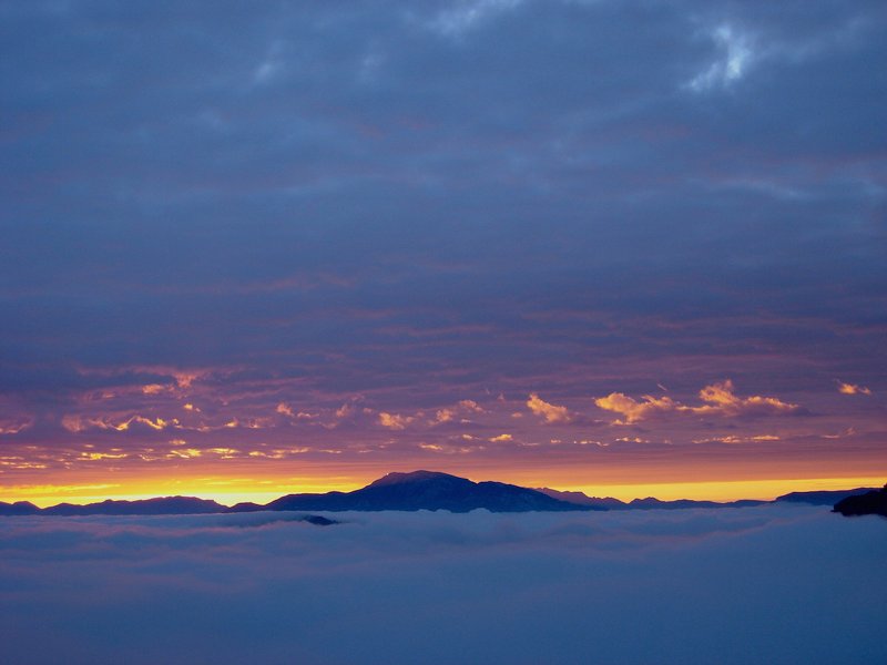
There are many ways to discover the Ledrensi Alps, but we believe the best one is to discover the territory without hurry. On foot, by bike, in a few hours or in more days. Through the thick network of roads and paths go into the territory, from the mediterranean shores of the Garda Lake to the ancient forests of the Concei Valley, from the beautiful meadows in Tremalzo to the precious endemic species of the Pichea ridge. Just choose your way.
For general information on the itineraries on foot, by bike and nordic walking in the Ledro Valley:
Itineraries by MTB and cycle paths
Trekking and walks
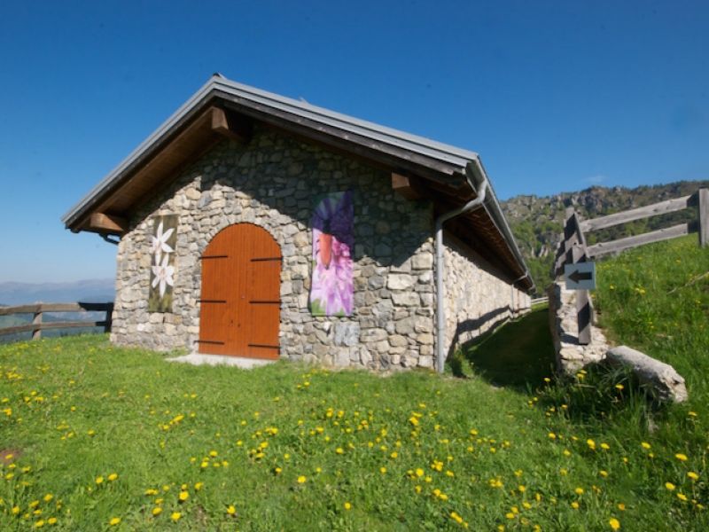
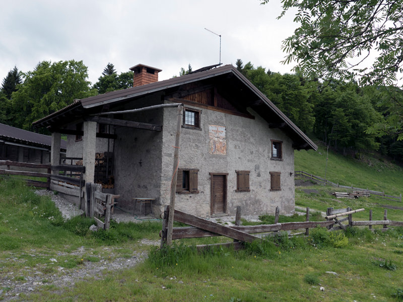
On foot
In every walk with nature one receives far more than he seeks (John Muir).
There are many paths crossing the territory and unlimited possible ways to combine them. How can you choose your favorite route? Just let Nature talk to you. Every zone of the Reserves Network has its peculiarities and unique features. You only need to know what you are looking for to find the right path.
Trekking