From Rifugio Potzmauer to Malga Corno
- Trail Conditions: On foot
- Departure: Rifugio Potzmauer
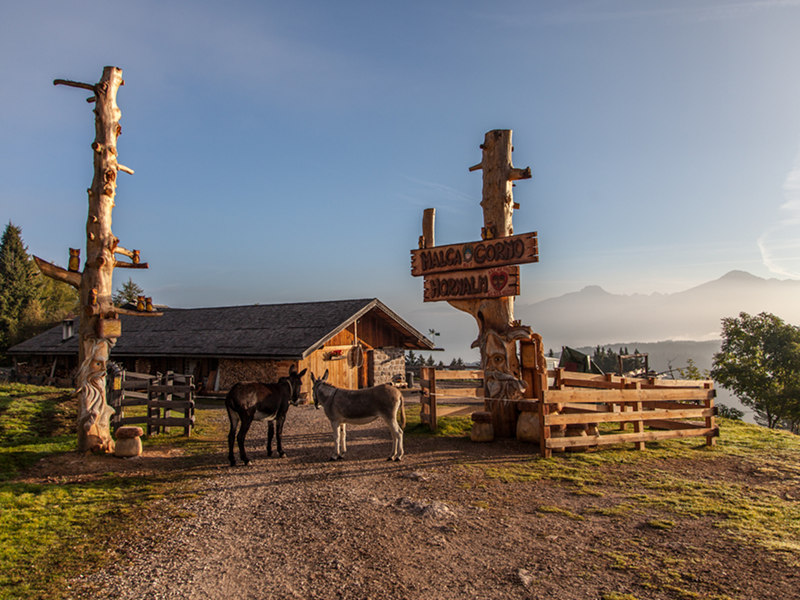
- Arrival: Malga Corno
- Duration: 4.15 h (without stops)
- Length: 12.8 km
- Difference in height: Uphill 750m - Downhill 350m
From the hut, go up to the Potzmauer Pass and follow the signs to Lac del Vedes (m 1496). The trail runs along the Reserve and on a dirt road, to the lodges and the crossroads of Valdonega. Go up the concrete road towards Doss da l'ors. Turn left at the crossroads and, in about two minutes, reach a panoramic point with a lodge. Continue along the same road, through a fir wood, and turn right at the following crossroads.
After a short stretch, turn right at the crossroads and reach the main road that, in few minutes, leads to a hollow (Monte dell'Orso). Follow the signs to Cauria, until the wooden signs to Lago Bianco (1 hour walk). A deviation is also possible from Valdonega to Paluda La Lot, following the "Sentiero dei confini" trail towards Cauria; going on towards Cauria, connect with our trail. At Lago Bianco take the forest road on the left and flank the mire. Continue up a slight slope, following the signs to Lago Nero. From the lake, go down to Malga del Corno (about half an hour from the lake).
2 lap of: Trekking of the Ancient Lakes