From Malga Corno to Pochi di Salorno
- Trail Conditions: On foot
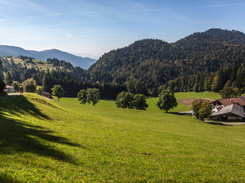
- Departure: Malga Corno
- Arrival: Pochi di Salorno
- Duration: 3.45 h (without stops)
- Length: 12.9 km
- Difference in height: Uphill 300m - Downhill 1,450m
Behind the hut (Malga Corno) take Trail No 9 to Hackelboden-Casignano. The trail runs below the summit of Mt. Corno (1781m) and through the wood of Casignano, first on road and then on a well-marked path (No 9) that zigzags downhill crossing the white road in several points. When you reach the flat road, turn left and reach the Hackelboden lodge (100 metres). Take Trail No.9 behind the lodge and go down until the forest road, where the trail turns left. Reach the crossroads and turn left, where the path veers markedly uphill towards Cauria Pass. From the Pass, go down to Cauria (20 minutes on Road No.4). Turn right shortly before the village, and go down the path (2-7-8) until the Province road. Shortly after the widening, on the right, take the forest road towards Laghetti (Trail No. 7). Go down and enter a small, deep valley. Follow the signs to Laghetti until, after Le Seghe, you reach a stretch of tarmac road that connects with a hairpin turn by a stone bridge (ponte romano). On the left, take the Dürer Trail (Dürerweg) from the Kloesterle in Laghetti to Pochi di Salorno.
3 lap of: Trekking of the Ancient Lakes