Parks.it Homepage

Rete di Riserve del fiume Sarca - basso corso


Itineraries

The Park's trails

In this section you can find a collection of the already existing proposals to visit the territory, in some cases they have been adapted and improved as far as their accessibility is concerned, or they have been equipped with description panels reporting interesting information. On foot or by bike, there are many opportunities you can enjoy in every season.

Thematic itineraries

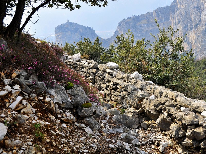
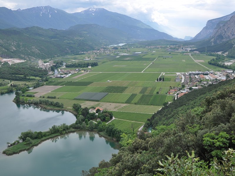
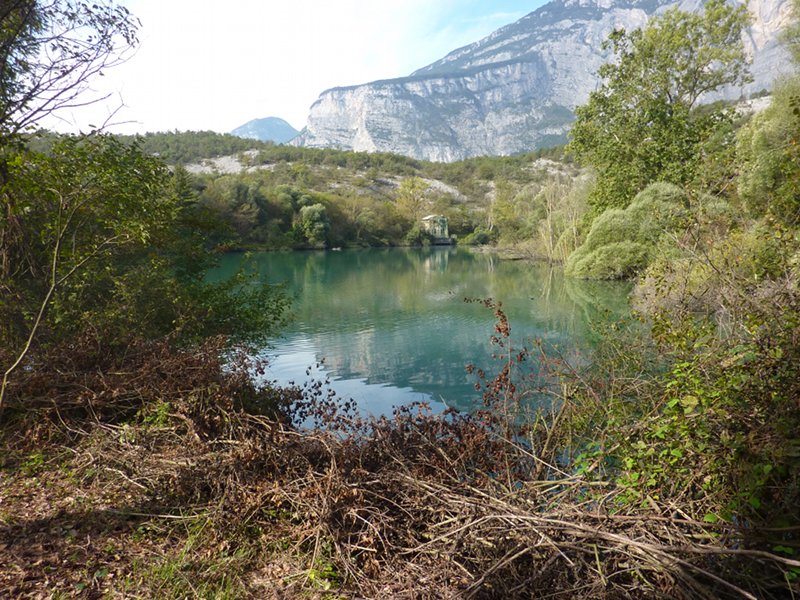
The Sarca River Park can be visited freely: along the whole river course there are descriptive panels placed in the most significant points which, according to the colored symbol, identify the three thematic itineraries dedicated to the historical and natural features and to the use of water.
It is up to the visitors to choose the suggested order or to mix the stages as they like in order to create their personal visit and a unique experience in the Park.

All the trails can be reached from the several entrance ways of the Park situated over the territory.
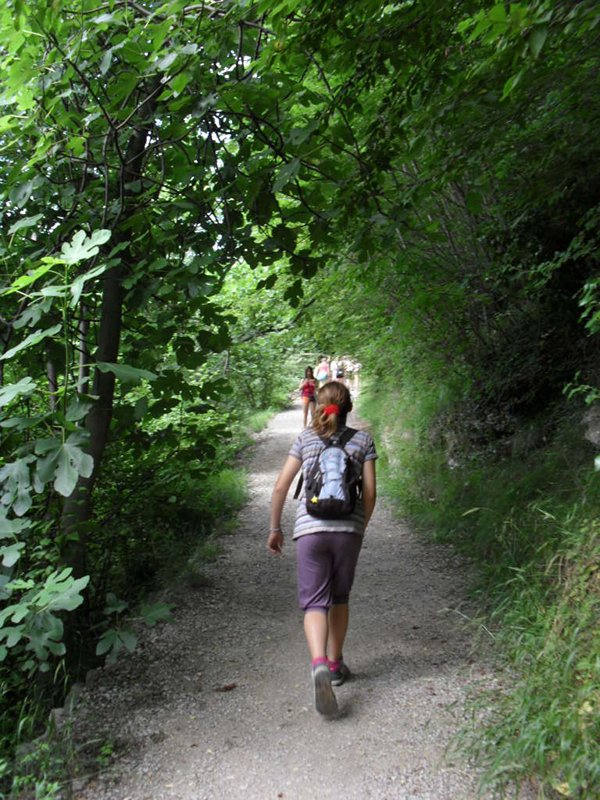
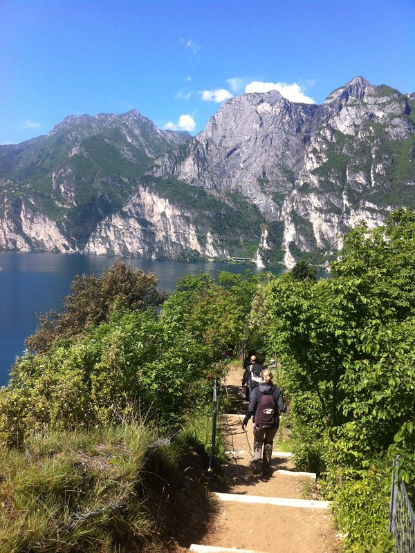
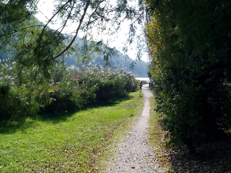
Itinerary of Water
Itinerary of Water
...water, resource and source of life...
Typology: On foot
Landscape itinerary
Landscape itinerary
...water: always nature's power...
Typology: On foot
Path of Memory
Path of Memory
...a journey in the past to live the relationship between Sarca and people...
Typology: On foot
Interest: History

Hikes

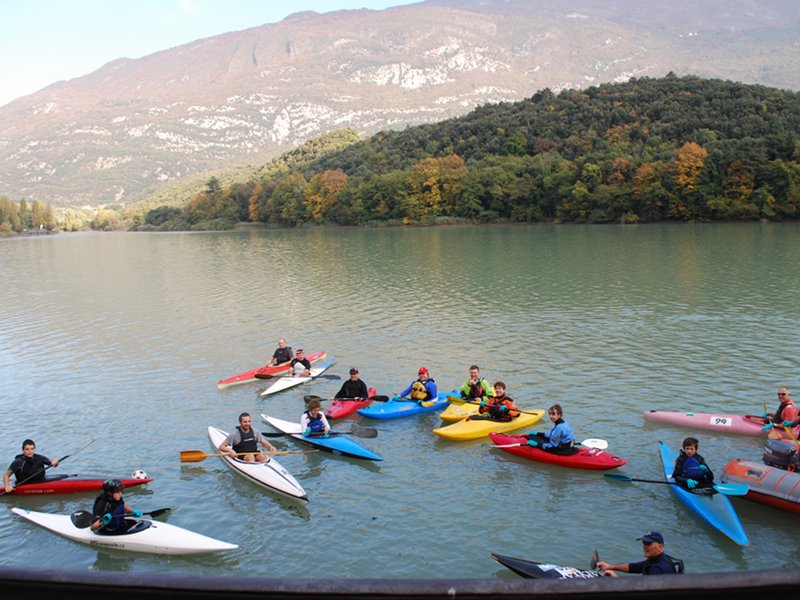
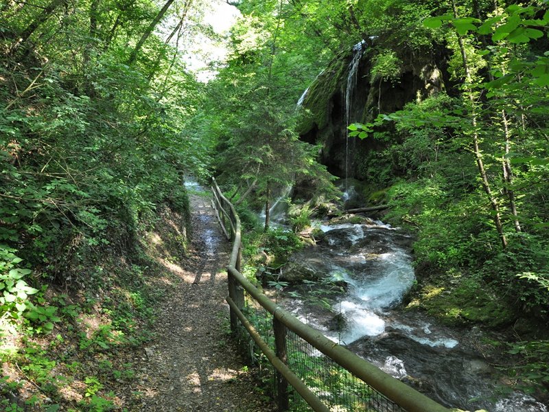
The River Park's territory is crossed by a large network of trails and paths which differ from each other for typology, difficulty level and duration.
Some of them have been connected one with the other in order to enable visitors to explore the environment crossed by the lower course of the Sarca, following a leitmotif. In some cases some features are stressed through the placement of descriptive panels.

A. Stoppani Geological Path
Map with georeferenced itinerary
Typology: On foot
Interest: Geology
Bosco Caproni historical nature trail
Map with georeferenced itinerary
Typology: On foot
Interest: Flora, History
Busatte Tempesta forestry path
Map with georeferenced itinerary
Typology: On foot
Interest: Flora, Panorama
Calavino trail and its canals
Map with georeferenced itinerary
Typology: On foot
Campagnola Path
Map with georeferenced itinerary
Typology: On foot
Costa di Monte Oliveto Nature Trail
Map with georeferenced itinerary
Typology: On foot
Duration: 1 h 30 m
Didactic trail of the Fies Hydroelectric Plant
Map with georeferenced itinerary
Typology: On foot
Dosso Saiano didactic route
Map with georeferenced itinerary
Typology: On foot
Interest: History
Holy Wine Path
Map with georeferenced itinerary
Typology: On foot
Itinerary to visit the Mount Brione Nature Reserve
Map with georeferenced itinerary
Typology: On foot
Interest: Flora
Marocche di Dro Nature Reserve Trail
Map with georeferenced itinerary
Typology: On foot
Molinei Path
Map with georeferenced itinerary
Typology: On foot
Interest: Panorama
Path around the Cavedine lake
Map with georeferenced itinerary
Typology: On foot
Visiting itinerary to the Toblino Lake Nature Reserve
Map with georeferenced itinerary
Typology: On foot

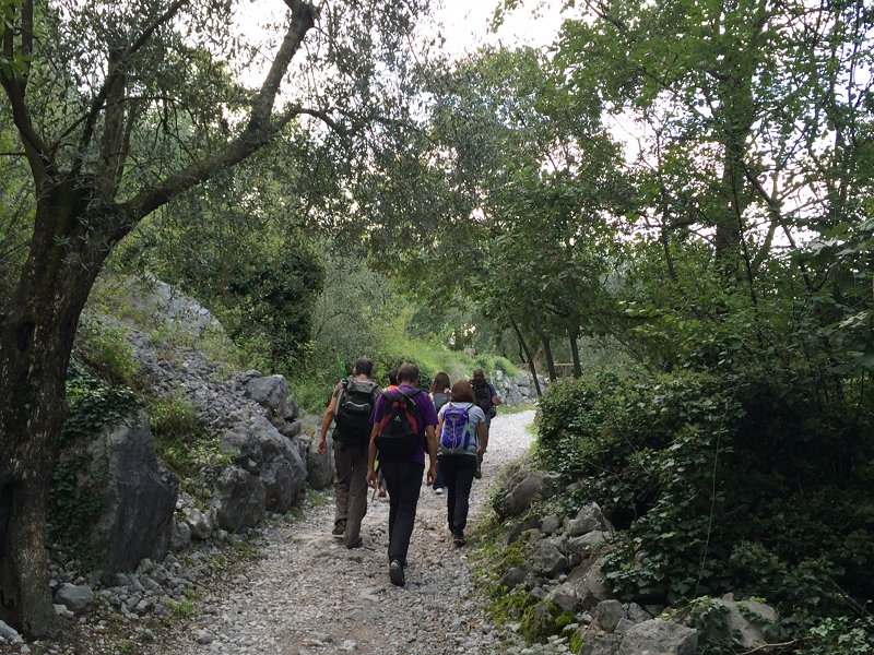
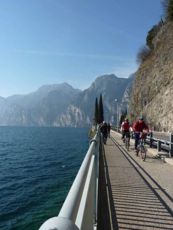
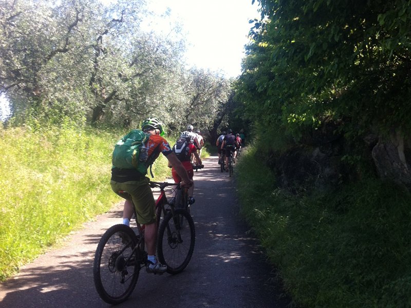
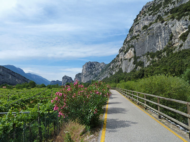
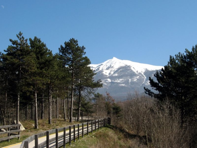
Cycle-pedestrian network

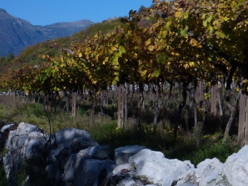
In the Sarca river park's lower course you will find some of the most fascinating cycle-pedestrian trails in Trentino, which link the Garda Lake to the Dolomites. One can ride the bike on the Garda Lake's banks, follow the course of the Sarca river among the vineyards and the lands and while it crosses the Marocche di Dro, or climb among the olive groves of the Mount Brione, to enjoy breathtaking views.
Along this well-established alternative path network, marked by clear and specific markers, there are several services such as the "bicigrill" (meaning "bike-grill"), car parks, rest areas and possible connections with other transport solutions.

Garda Lake cycle-pedestrian trail
Map with georeferenced itinerary
Typology: On foot, By bike
Interest: Panorama
Mount Brione cycle-pedestrian trail
Map with georeferenced itinerary
Typology: On foot, By bike
Interest: Flora, Panorama
Sarca cycle-pedestrian trail
Map with georeferenced itinerary
Typology: On foot, By bike
Interest: Panorama
Valle dei laghi cycle-pedestrian trail
Map with georeferenced itinerary
Typology: On foot, By bike
Interest: Panorama
share-stampashare-mailQR Codeshare-facebookshare-twitter
© 2024 - Consorzio dei Comuni del B.I.M. Sarca-Mincio-Garda (Ente capofila)