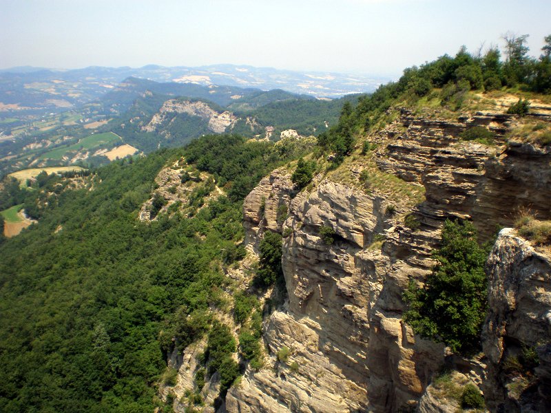
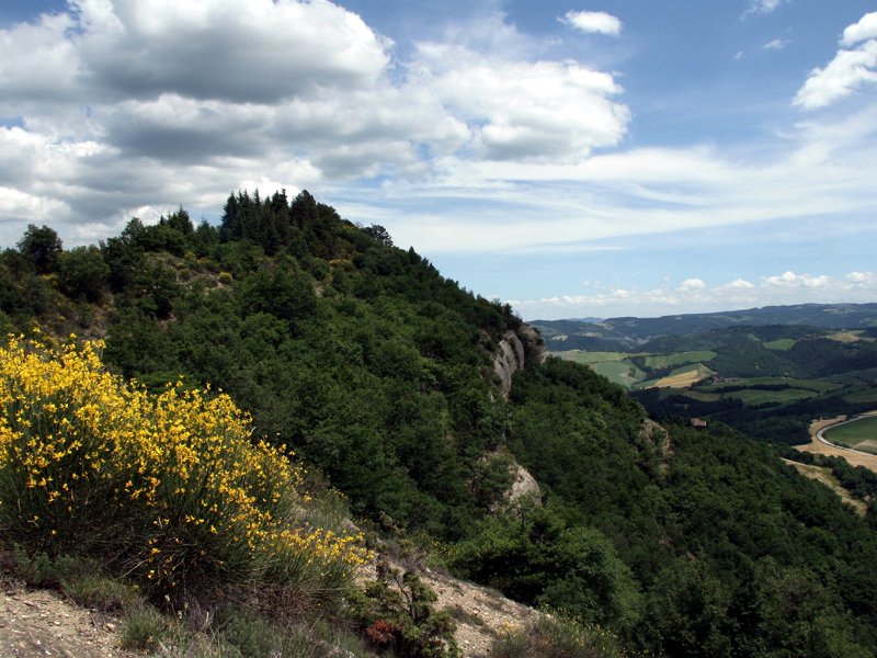
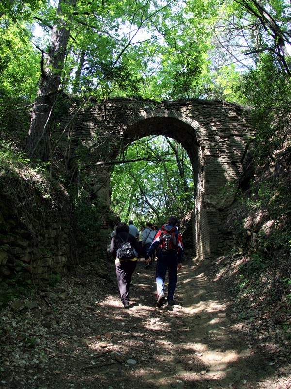
The territory of the reserve is crossed by a minor road network which, in addition to the narrow and suggestive asphalted roads that connect the few localities close to the Contrafforte, sometimes with magnificent views on the steep walls, includes dirt roads and paths that are often ancient and traditionally used to reach the historical places and the peaks of the reliefs or to walk the panoramic ridge.
The hiking network of the protected area has been the subject of a timely reorganization and adaptation work, carried out in collaboration with the Bolognese section of the Italian Alpine Club, which has led to the definition of a network of trails, which are also the only ones that can be traveled, marked with classic modes: trail markers, on trunks and rock; arrow signs, on autonomous support, with indication of the path number, the nearest location (top) and the final destination (bottom) as well as any long-distance itinerary, at the tip. The reorganization of the network of trails and footpaths led, in addition to the closure of a number of unreasonable and in some cases downright dangerous trails and tracks, to a complete renovation of the trial signs system, the installation of information panels at the so-called "entry" points, the installation of fences, signs and other precautions for avoiding the passage in particularly problematic or delicate points from the environmental point of view, various maintenance interventions of the tracks.
The Contrafforte area is crossed by three multi-day hiking trails. The "Traversata delle cinque valli" (T5V) is an itinerary that develops from Monteveglio to Ozzano Emilia and crosses the whole reserve from West to East; the "Via degli Dei" (VD) is a long itinerary that connects Bologna to Florence, skirting the reserve as far as Monte del Frate and crossing it at Monte Adone and Brento; Via dei Santuari (VS) is an itinerary that connects Bologna to Prato touching some of the most evocative sacred buildings of the Apennines and crosses the reserve between Commenda and Battedizzo.
Among the many opportunities available, some possible itineraries of a few hours are proposed.