

Around Mt. Rosso
- Trail Conditions: On foot
- Interest: Flora, Geology
- Departure: Livergnano (525m)
- Duration: 3 hour/s
- Length: 8.5 km
The simple circular itinerary goes around the slopes of Monte Rosso (591 m), offering beautiful close-up views of the imposing sandstone walls that overlook Sadurano and interesting glimpses of the cool woods that line the northern slope of the relief. The route develops mainly on slightly shaded dirt roads and it is preferable not to follow it during the hours of the day with greater sunshine; a little attention is needed only in a narrower stretch of path inside the forest on the eastern side of the mountain.
The picturesque town of Livergnano is located along the SP 65 della Futa, about 9 km after Pianoro, and can also be reached by public transport (TPER 906 line for Monghidoro).
Leaving the car in the parking lot just before the town, you have to walk another hundred meters along via Nazionale to reach the town square, where you can make a detour to via della Chiesa and go up to the beautiful plateau on which the building stands. sacred reconstructed after the war like almost all buildings in the town, and from which a large portion of the Bolognese hill is dominated, with the sanctuary of the Beata Vergine di S. Luca in the background.
Further information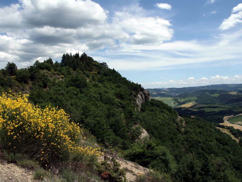
 Download KMZ


