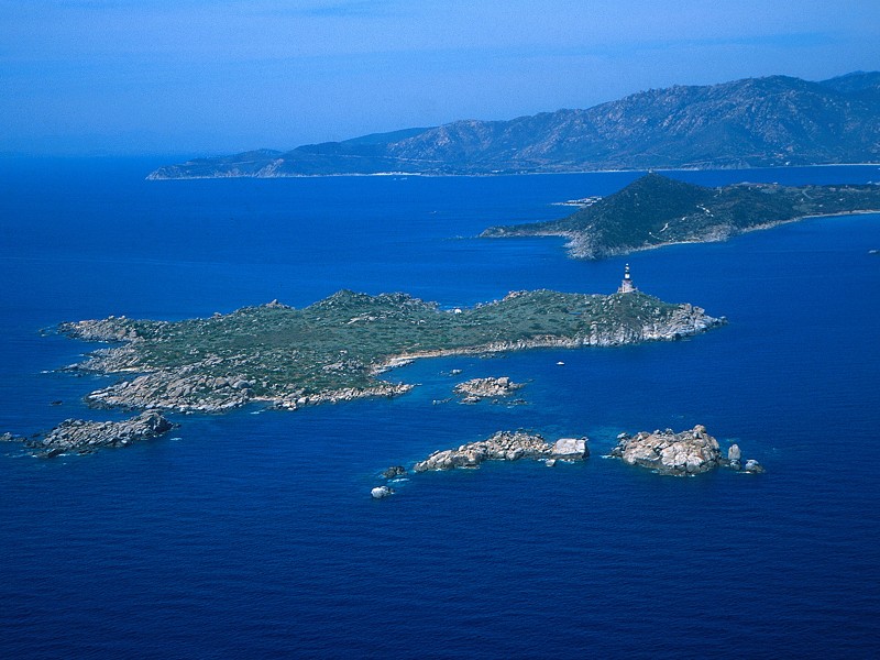
Itineraries
The tourist approach is favored and directed towards a consciousness raising, never so high, of the specific features of the natural environment, the local customs and usage, the Sardinian tradition, the archaeological and historical-natural panorama.
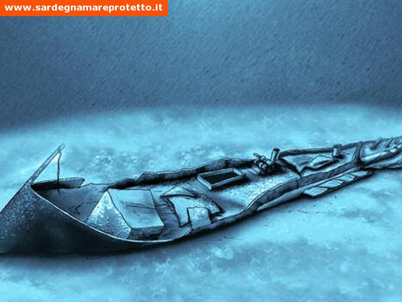
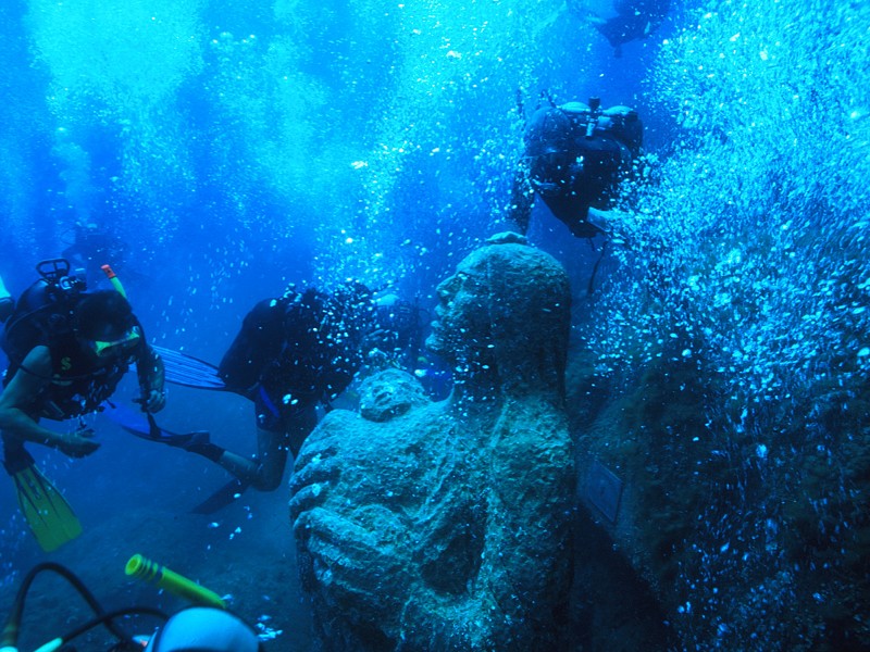
In this way, with passion and experience, it is possible to create and develop itineraries in the mainland offering breathtaking views, or by sea, following the traces of the ancient fishing traditions, or even underwater, with specialized tour guides, to discover the several submerged wrecks that the history of a not always indulgent sea has left us.
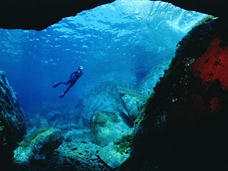
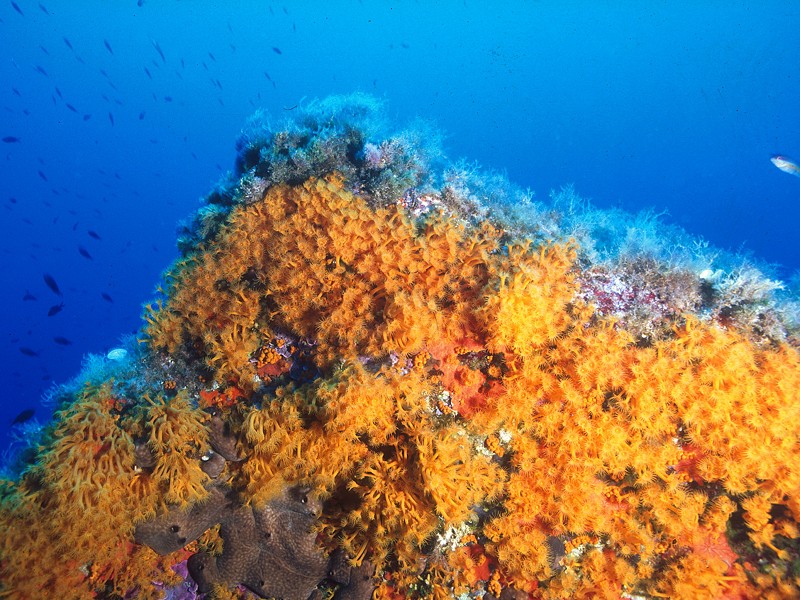
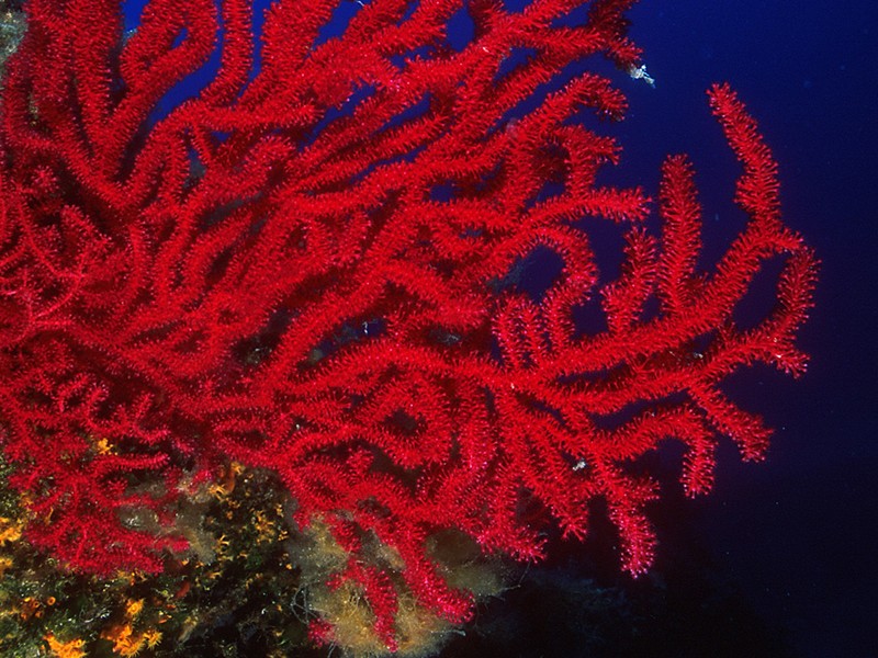
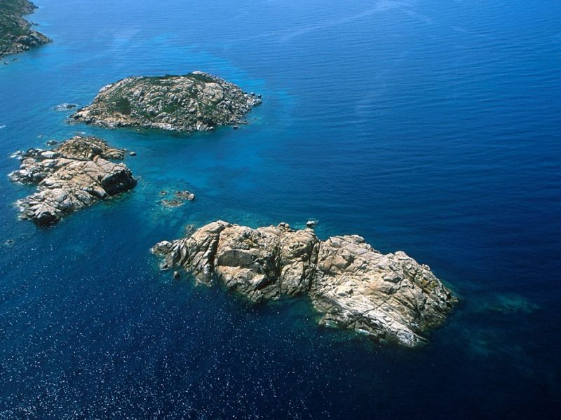
Diving Spots
The wonderful seabed of Villasimius is the ideal destination for divers all year long.
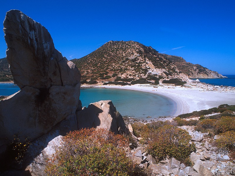
The points of interest of Capo Carbonara Marine Protected Area are several and charming.
Besides the natural beauties, the submerged rocks and cliffs, the characteristic and luxuriant flora and fauna of the whole MPA, it is also possible to admire a 1943 wreck.
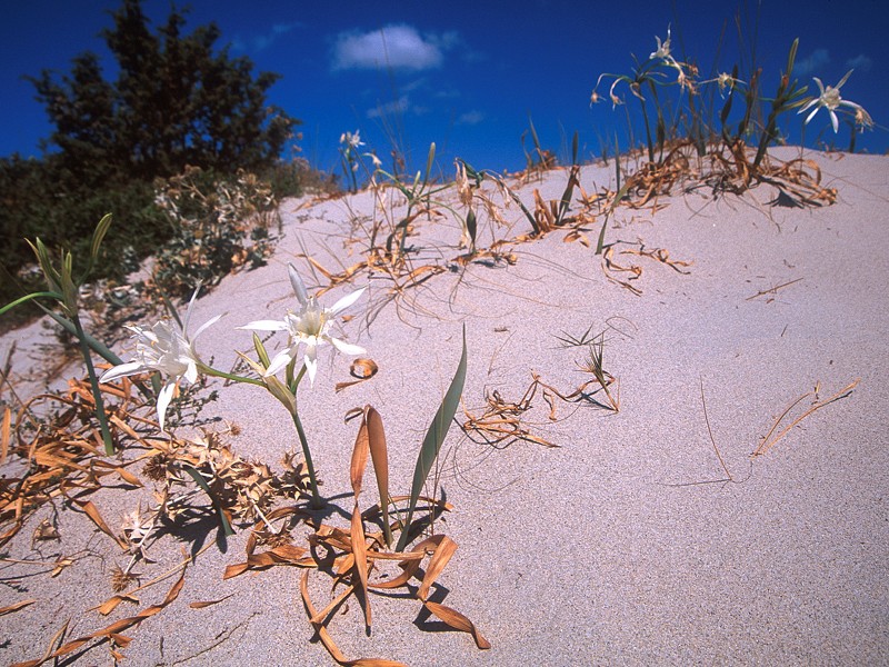
Naturalistic Itineraries
Villasimius and its territory preserve natural trails to explore on foot or on horseback.