


Itineraries
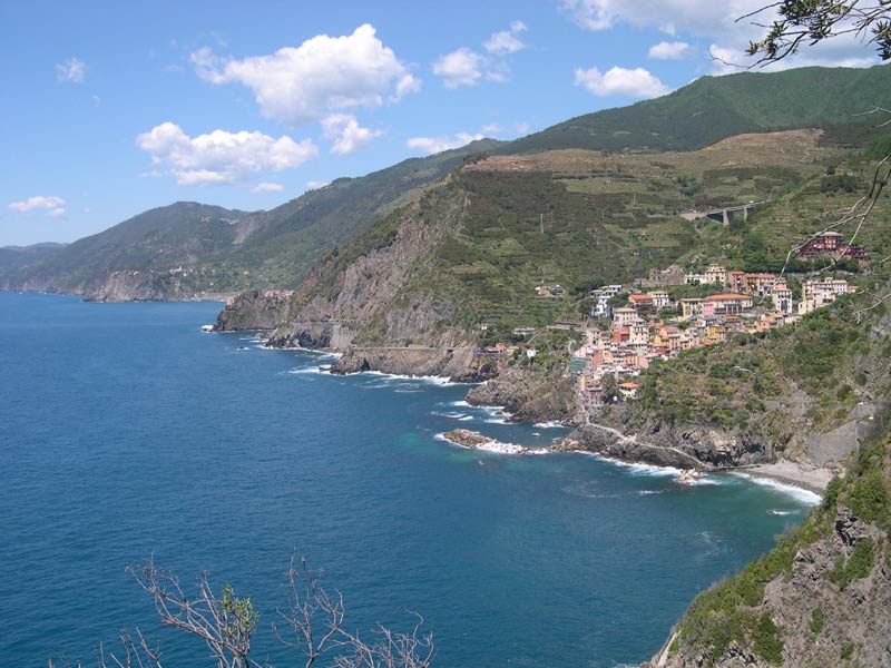
Swimming paths
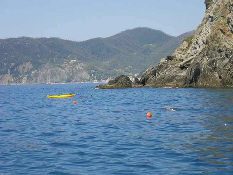
Swim path in the Cinque Terre MPA
Departure: Vernazza
Map with georeferenced itinerary
Typology: Snorkeling, Swimming
Typology: Swimming
Typology: Swimming
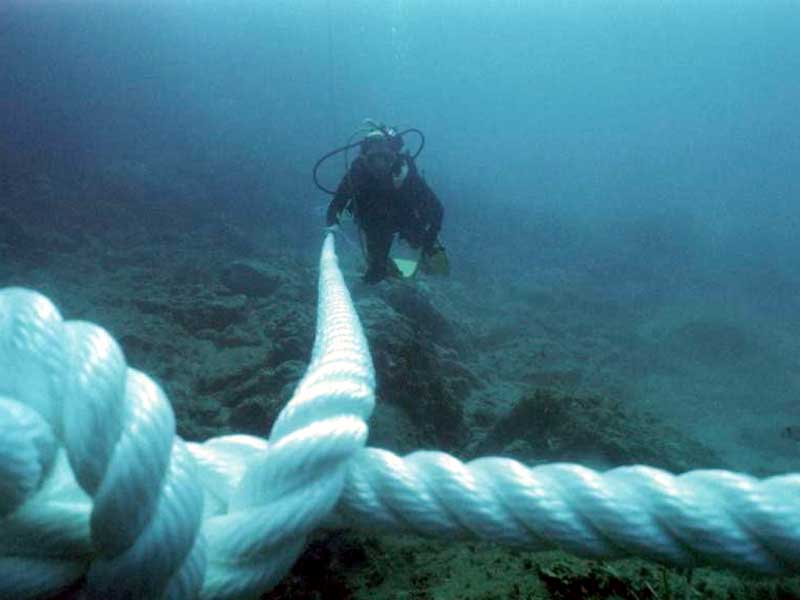
Underwater Itineraries
Map with diving spot
Typology: Diving
Difficulty Level: expert
License Open
(-35 m)
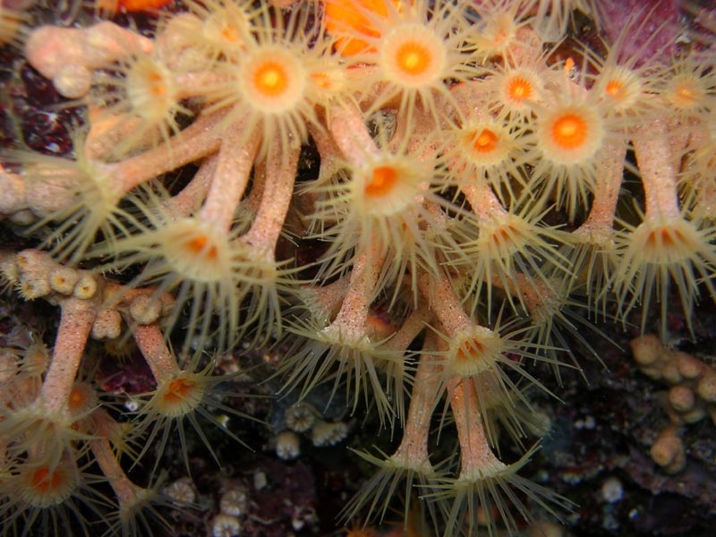
Interest: Marine Wildlife
Map with diving spot
Typology: Diving
Difficulty Level: beginner
(-20 m)
Interest: Marine Wildlife
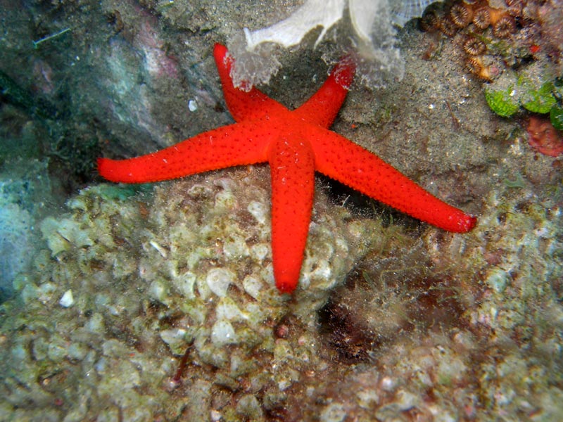
Map with diving spot
Typology: Diving, Accessible Trail
Difficulty Level: beginner
License Open
(-18 m)
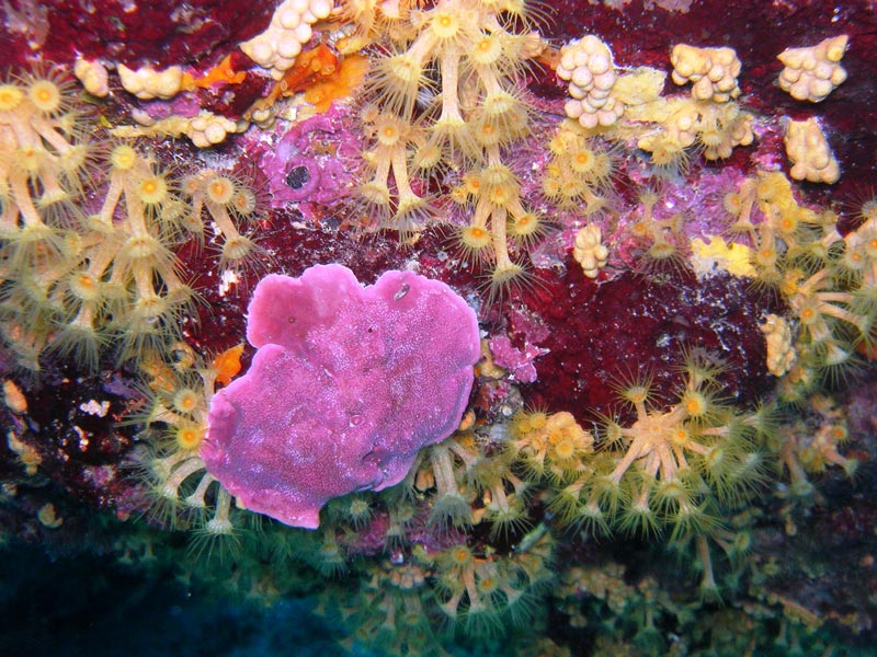
Interest: Flora
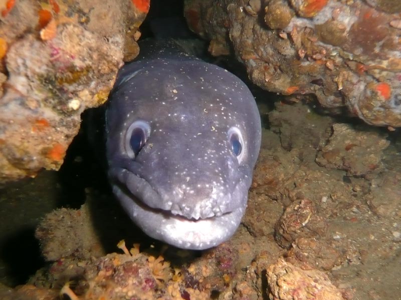
Map with diving spot
Typology: Diving
Difficulty Level: intermediate
(-25 m)
Interest: Marine Wildlife
Map with diving spot
Typology: Diving
Difficulty Level: expert
License Advance
(-32 m)
Itineraries by kayak
By covering the paths 1N and S4 the navigation in the Zone A, delimited by the buoys, is not allowed. The walking time are only approximate and might be different depending on one's health condition, the winds and the currents.


© 2024 - Ente Parco Nazionale delle Cinque Terre