Sagrado/Zagradec - Mount Lanaro/Volnik - Repen - Močilo pond - Petrovizza quarry - agrado/Zagradec
- Trail Conditions: On foot
- Interest: Flora
- Length: 10 km
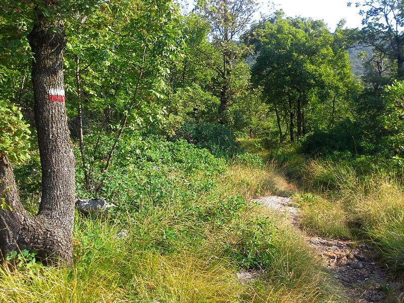
The round path, which is about 10 km long, departs from Sagrado/Zagradec and leads to the summit of Mount Lanaro/Volnik, descends to Repen, reaches the Močilo pond, continues towards the Petrovizza quarry and goes back to Sagrado/Zagradec. The path, with a difference in height of almost 200 meters, partially develops within the Monte Lanaro Regional Nature Reserve. In the beginning the path crosses the typical karst woodland, then it enters the forest formations consisting of sessile oaks, turkey oaks and common hornbeams. On the summit there is a wooden lookout where visitors can enjoy a wonderful view from. The itinerary leads to the summit of Mount Lanaro/ Volnik through the CAI path no. 24, coinciding with the street which has by now fallen into disuse and was built after World War II by the military government of the Allies. The route is characterized by a mixed karst vegetation including the black pine, whereas near the summit visitors find an area of karst moor in a stage of quick bush growing.