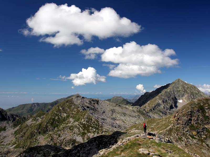
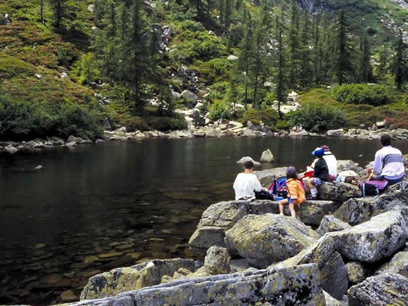
The Park territory offers several possibilities to the visitors who want to carry out walks in the fascinating Oropa Valley: the mountain chain surrounding the area of the Sanctuary and the Sacred Mountain offers a charming and panoramic view over the plain and, from the opposite slope, enchanting views over the summits of Valle d'Aosta, whose access is facilitated by a cableway connecting the Sanctuary to Mt. Camino. The routes are heterogeneous and suitable for every need: from quiet and relaxing walks to vie ferrate, if you are looking for an adventure.
Georef. | Itinerary | Typology | Interest | |||
Colle della Colma - Mt. Becco - Alpone | ![]() | On foot E - EE 4 h 45 m | ![]() | |||
Costa Muanda - Poggio Frassati | ![]() | On foot E+ - Hiking (level)+ 5 h | ![]() | |||
Cucco Ring-route | ![]() | On foot E - Hiking (level) 3 h 30 m | ![]() | |||
Last Stretch of Oropa Trail from San Bartolomeo Hermitage | ![]() | On foot T - E 2 h | ![]() | |||
Mucrone Lake Naturalistic Trail | ![]() | On foot E - Hiking (level) 40 m | ![]() ![]() ![]() | |||
Oropa - Mucrone Lake | ![]() | On foot E - Hiking (level) outward journey 2.15 hours; return journey 2 hours... | ![]() | |||
![]() | Pian di Gè Ring-route | ![]() | On foot E - Hiking (level) 2 h 30 m | ![]() ![]() | ||
Pope John Paul II Trail | ![]() | On foot E - Hiking (level) 3 h 30 m | ![]() | |||
The Priests' Walk | ![]() ![]() | On foot T - Tourist (level) 45 m | ||||
Tour of the Chapels and Monumental Cemetery | ![]() | On foot T - Tourist (level) 1 h | ![]() ![]() | |||
Trail of the Beech Trees | ![]() | On foot T - E 1 h 30 m | ![]() | |||
Trucco Ring-route | ![]() | On foot E - Hiking (level) 3 h | ![]() | |||
![]() | Uphill Trail to Galleria Rosazza | ![]() | On foot E - Hiking (level) 2 h | ![]() ![]() | ||
Uphill Trail to Giass Comune | ![]() | On foot E - Hiking (level) 3 h 15 m | ![]() |
Georef. | Itinerary | Typology | Interest | |||
Coda Mountain Hut (2,280m) - Punta Sella | ![]() | On foot E - Hiking (level) 2.15 hours | ||||
Colle della Barma - Mt. Camino (2,391m) | ![]() | On foot E - Hiking (level) 1 h 30 m | ||||
Mt. Mars (2,600m) | ![]() | On foot EE - For expert hikers 2 h 30 m | ||||
Mt. Mucrone (2,335m) | ![]() | On foot E - EE 1.20 hours | ||||
Mt. Tovo (2,230m) | ![]() | On foot EE - For expert hikers 1 h 30 m |
Inaugurated in 2002, Oropa Trail connects Biella town center with Oropa Sanctuary, going along for most of the trail what has been the most natural way of communication in the lower and middle Oropa Valley: the uphill trail along the watercourse.