

Itineraries
The Trails of the Nature Reserve
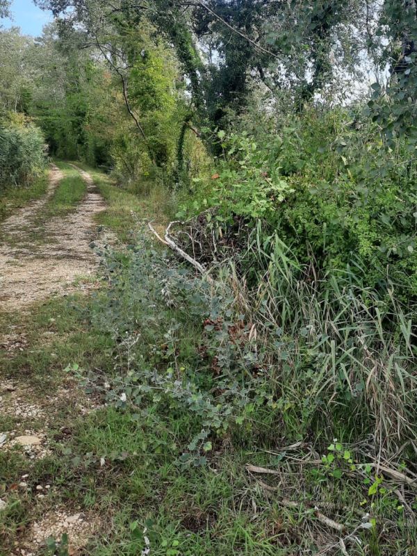
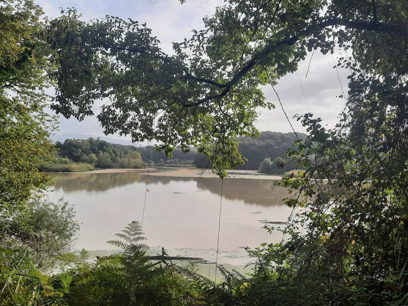
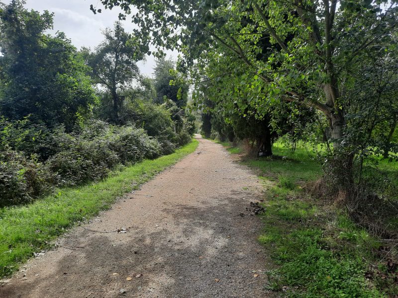
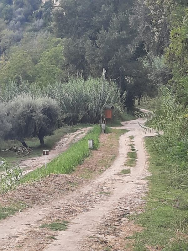
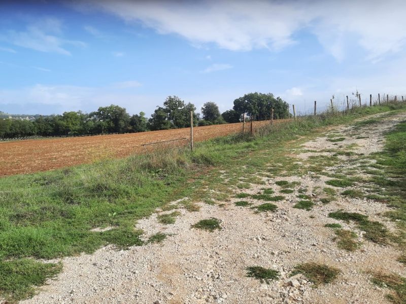
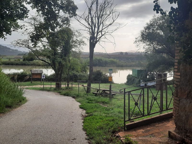
The best moments of the day to visit the Nature Reserve and carry out observation activities from the huts are early in the morning and at the sunset, since the birds can be more easily seen and the colors of the marsh are more charming. The trails are all easy to follow since they mainly develop along dirt roads and the routes have been made with wooden sleepers.
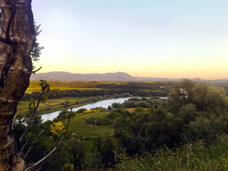
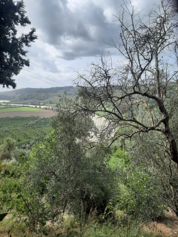
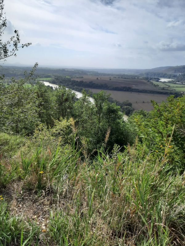
River Tiber
Map with georeferenced itinerary
Typology: On foot
Difficulty Level: T - Tourist (level)
Duration: 20 m
Interest: Flora, Wildlife
Map with georeferenced itinerary
Typology: On foot
Duration: 1 h 40 m
Interest: Flora, Wildlife
Map with georeferenced itinerary
Typology: On foot
Difficulty Level: T - Tourist (level)
Duration: 20 m
Map with georeferenced itinerary
Typology: On foot
Difficulty Level: T - Tourist (level)
Duration: 10 m
Map with georeferenced itinerary
Typology: On foot
Difficulty Level: E - Hiking (level)
Duration: 4 h 30 m
Map with georeferenced itinerary
Typology: On foot
Difficulty Level: T - Tourist (level)
Duration: 15 m
Map with georeferenced itinerary
Typology: On foot
Difficulty Level: T - Tourist (level)
Duration: 3 h 10 m
Interest: Flora, Wildlife
Map with georeferenced itinerary
Typology: On foot
Difficulty Level: T - Tourist (level)
Duration: 35 m
Map with georeferenced itinerary
Typology: On foot
Difficulty Level: T - Tourist (level)
Duration: 20 m
Typology: On foot
Difficulty Level: T - Tourist (level)


© 2024 - Ente Riserva Naturale Regionale Nazzano Tevere Farfa