|
|
Regional Park W Ecopas |
Protected Area |
|
 |
|
Park W |
|
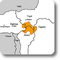
| The Region W of the river Niger represents an extraordinary Biodiversity Reserve in West Africa, where the Transfrontier Park W is the largest group of protected areas. The protected area was identified in 1926, but became Regional Park W Ecopas in 1954. This Park covers a territory of over 1,000,000 hectares distributed among the States of Benin (550,000 hectares), Burkina Faso (250,000 hectares), and Niger (220,000 hectares), to which we should add several adjacent Reserves (Atacora, Mekrou, and Djona Hunting Zones). Despite a considerable human pressure, the potentialities regarding the flora and fauna of this region, as well as the functionality of the ecosystem, are still well preserved. The landscapes of the National Park and of the Region W of the river Niger are very diversified and distributed around aquatic elements like the rivers, “mares”, temporary lakes, and land elements where herbaceous grasslands, shrubby savannah, and gallery forests alternate. |
|
The Park Ecosystems |
|
|
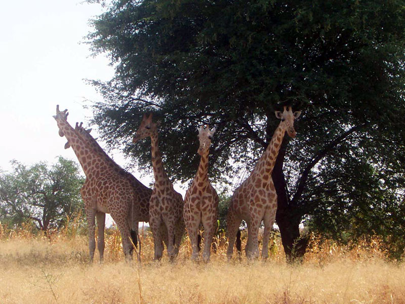
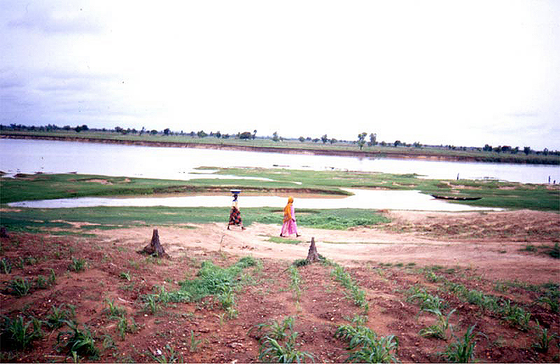
The permanent ecosystems in the Park are very different one from the other and are typical of the Sudan-Sahel biome. The ecosystems of Regional Park W Ecopas still preserve the essential elements maintaining their functionality and integrity. The Region W is a typical example of preservation of the large protected areas of West Africa, most of which have been identified in the 30s during the colonial period, generally in not very populated areas, with different goals and causes (buffer zone between different populations, abundance of malaria vectors, impoverished soils, lack of water). The protection of these spaces, whose recent evolution is linked to a strong demographic growth and to migrations caused by drought events, can represent today both an obstacle to the development of the local population and an occasion of struggle. The Sahel-like climate is characterized by an average rainfall varying from area to area from 600 to 900mm per year. During the year there are two seasons: a dry season divided into two periods, the hot period going from March to October (average 30-40°C) and a cooler period going from November to February (26°C max, 12°C min) and a rainy season going from May to October (average temperature 26°C). The Region W is crossed by several watercourses, among which Niger, Alibori, and Mekrou. As far as vegetation is concerned, it is a transit area between the desert, savannah, and tropical forest where desert and savannah dominate. The area is populated by several species of mammals: lions, leopards, cheetahs, hyenas, and jackals. Some of these species are endangered at a global level, since their populations have gone beyond the critical limit of population renewal, in particular the addax, oryx, gazelle, manatee (living only in the area of Niger), giraffe, hippo, and elephant. |
Fauna |
|
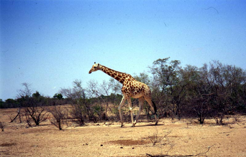 |
The presence of big mammals has been reduced by the human pressure deriving above all from poaching, sheep breeding, destruction of habitats (to obtain fields or firewood) and by the two long drought periods in the 70s and 80s, which led to the reduction of the available grazing lands and the disappearance of several watering points. Only the buffaloes, sable antelopes, and warthogs are still characterized by abundant populations, and the avifauna is very rich in different species. |