


Margheria Garlenda Itinerary
- Trail Conditions: On foot,
- Interest: Panorama, Photography
- Duration: 4 hour/s 30 minutes
- Difficulty Level: EE - For expert hikers
- Difference in height: 450m
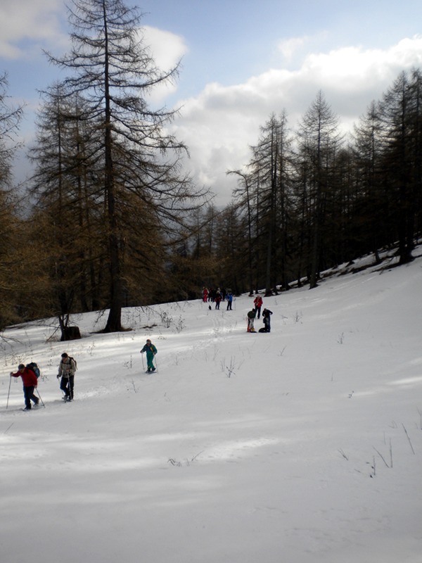
After leaving from the meeting point in the square of Monesi di Mendatica country hamlet, follow a short uphill trail leading in a few minutes to Margheria Bandita. From here, continue with a modest slope along the long snow-clad road leading to the large plateau where Margheria Garlenda stands out (1,600m) and from which you can enjoy a wonderful view of our Ligurian Alps, from Pizzo d'Ormea to Marguareis massif. After a short ramp, you will reach the beginning of "Valle dell'Angelo", a wonderful valley between Cima Garlenda and Cima Omo dell'Arpetta, where it is possible to continue the walk with a modest slope and stop for lunch. Go downhill along the left slope of the deep valley and, once you reach again the large plateau, take a transhumance trail on the left that, among centuries-old larch trees and the slopes of Cima Garlenda goes down to the plateaus interrupted by "bunde" and "fascioni" behind the ancient village of Monesi where, along the town streets, your tour ends.
Necessary equipment: mountain clothes, trekking shoes, rucksack, snowshoes, eventually ski poles.
 Download KMZ


