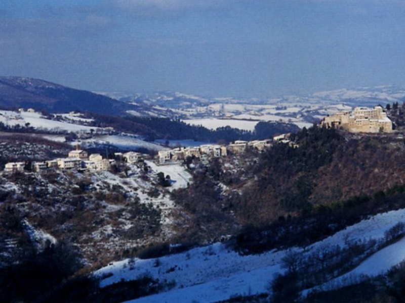
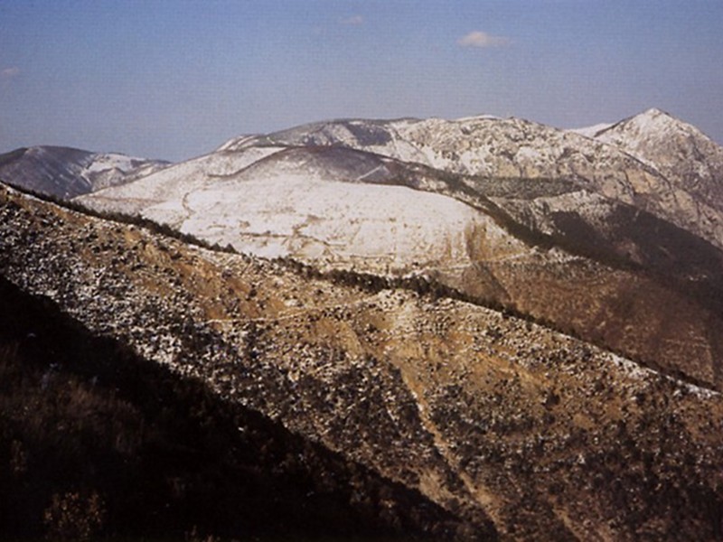
Avacelli – Valle della Grotta – Macchia delle Monache – Mt. Murano
From the shady valleys, discovering the horizons
- Trail Conditions: On foot
- Interest: Flora, Wildlife, Panorama, Religion, Hystory, Photography
- Duration: 2h and 45 min
- Difficulty Level: E
- Length: 9.72 km
- Difference in height: 542m
Typology: outward itinerary
Trail markers: 141, 107 AG, 143, 143 A
Trail 141 leaves from a site in the south of Avacelli. From here, a dirt road leads to the valley bottom. Afterwards, go ahead on the left until you reach the Romanesque-style church of St Ansuino. Go uphill on the right and go ahead for about 1 km along the dirt road. After fording a brook, you will reach the junction with trail 141A: follow on the right trail 141. After climbing for a few meters, take on the right the trail climbing next to Valle della Grotta. On a flat trail, you will Val Lupa. After 500 meters the trail crosses the right slope of the valley. Follow it for a short stretch, take a steep trail branching off on the right. Go ahead on the left at the following junction, and you will find yourself on the carriage road immediately before the crossroads at the pass between Mt. Predicatore and Macchia delle Monache. Follow the steep road climbing to Mt. Murano, trail 107 and then trail 143. Once you reach the end of the uphill trail, abandon the asphalt road and take on the left the track crossing the pinewood. After about 250 meters, you will go out on the meadows of Colle Foglia. Walk along their edge and reach the ruins of Case Marcellini. From here go ahead towards the south along the dirt road leading to the summit.