


Sentiero Italia (Italy Path) no.16
From Piano Battaglia to Petralia Sottana
- Trail Conditions: On foot
- Duration: 4 hour/s 30 minutes
- Difficulty Level: E - Hiking (level)
- Length: 13.5 km
- Difference in height: Uphill 290m - Downhill 600m
Piano Battaglia from the car park at the beginning of the provincial road 54, Faguare valley downhill, Canale Pass, Tropea Refuge, Portella Mele, S.Otiero Geological Site, San Brancato Bridge, Madonna dell'Alto Hospital, Petralia Sottana Old Town
Further information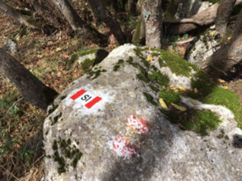
Books and Guides


© 2024 - Ente Parco delle Madonie