


Cavalbianco
- Trail Conditions: On foot
- Interest: Panorama, Hystory
- Departure: Vaglie (958m)
- Arrival: Vaglie
- Duration: 6 hour/s 30 minutes
- Difficulty Level: E - Hiking (level)
- Difference in height: 980m
- Maximum Altitude: 1,710m
- Recommended Period: from June to October
- Localities Crossed: Vaglie - Cavorsella - Pradarena - M. Cavalbianco - Ospitaletto - Vaglie
Stretched out towards Val Secchia to divide the valleys of Riàrbero and d'Ozola, Mt. Cavalbianco has always been a powerful border. Although the summit is not along the ridge of the Apennines, although its slopes gradually go down to the surrounding valleys, it represented for centuries the border of at least 4 villages across woods and pastures and, according to some historians, it was the theater of bloody wars between the Ligurians and the Romans...
Further information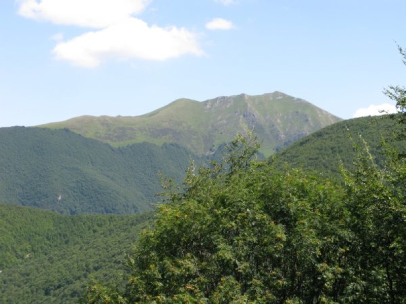
Cavalbianco from Val di Belfiore
Books and Guides

Price: 12.00 €
Price: 18.00 €


© 2024 - Ente Parco Nazionale Appennino Tosco-Emiliano