


Pramperet mountain hut
The Park's most dolomitic corner
- Trail Conditions: On foot
- Interest: Flora, Wildlife, Geology, Panorama
- Departure: Pian de la Fopa (1,210m)
- Arrival: Rifugio Pramperet (1,857m)
- Duration: 2 hours (climb only)
- Difficulty Level: E - Hiking (level)
- Difference in height: 650m
- Virtual tour: Pian de la Fopa - Rifugio Pramperet
- Recommended Period: from June to September
From the parking lot, take the unpaved road that goes up the valley, in front of the dolomitic architecture of the Spiz di Mezzodì. Shortly after the departure, on the left, you can see the Giaron de la Fopa: the largest scree in the Dolomites in terms of altitude difference (over 1,000 meters). The road crosses a wooded stretch and, with some hairpin bends, climbs to Pian dei Palui pasture (1,480 m), from where it continues with a lower slope to the Pramper hut. From here it turns into a path that, going up the slopes at the foot of the Cima di Pramper, leads to the Pramperet refuge (1,857 m). If you want to avoid returning by the same route as the outward journey, you can take a ring route from the refuge using the CAI 543 path to reach Moschesin fork and, from here, go down to the Pramper hut along the CAI 540 path. you return to the starting point along the same route of the outward journey.
Further information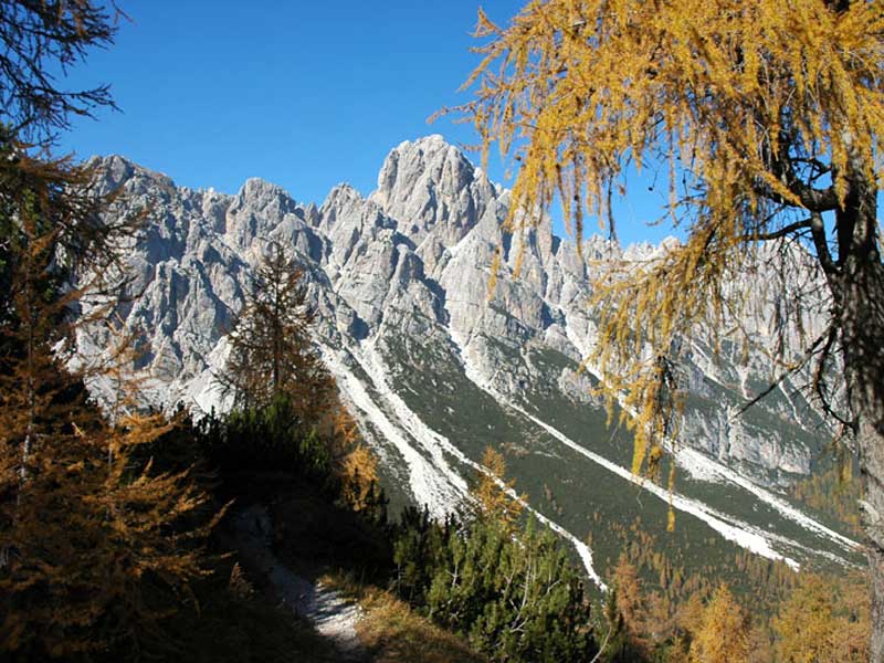
 Download KMZ


