The Parpinasca Mountain Hut is located in Val d’Ossola, in the Municipality of Trontano, in the pre-park belt of the Val Grande National Park, on the pleasant pastures of the homonymous Alps, at an altitude of 1200 mt. It is a beautiful structure plunged into the green of the pastures surrounded by extensive beech woods and with Pizzo Tignolino, dominating the wide valley of Rio Graglia.
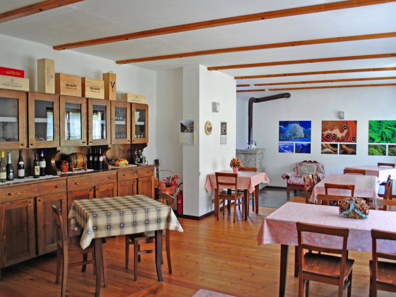
The mountain hut is in an excellent position for excursions of one or more days to/from the Val Grande, one of the most important wilderness areas in Europe. It offers restaurants and accommodation for hikers, tourists, groups, schools, etc.
It is easily reachable in just over an hour and a half from Trontano by the Park Nature Trail or by a service road to the Faievo and Parpinasca pastures. This also becomes an excellent route for mountain bike lovers!MONTE TOGANO 2301mt.
Difference in height: 1100mt. - Difficulty: EE – Duration: 3/4 hours uphill
PIZZO TIGNOLINO 2246mt.
Difference in height: 1050mt. - Difficulty: EE – Duration: 3/4 hours uphill
COLMA DI BASAGRANA 2070mt.
Difference in height: 870mt. - Difficulty: E - Duration: 2/3 hours uphill
TESTA DI MENTA 2204mt.
Difference in height: 1000mt. - Difficulty: EE - Duration: 4.30 hours uphill
PUNTA DI POZZOLO 2081mt.
Difference in height: 880mt. - Difficulty: EE - Duration: 4.30 hours uphill
Alpe Rina Bivouac Hut 1720mt.
Difference in height: 520mt. - Difficulty: E - Duration: 1.30 hour uphill
PANORAMIC RING ROUTE ALPE PARPINASCA - ALPE DRISIONI
Difference in height: 270mt. - Difficulty: E - Duration: 1.30/2 hours in total