


Geovolcanological Itinerary
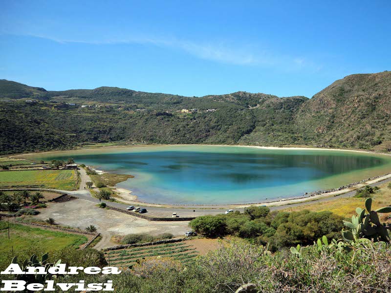
atária, Grazia, Bukkurám, Sibá, Bugéber, Lago Bagno dell'Acqua, Khattibuáli, Cala Cinque Denti, Khaggiár, Gadír
- Trail Conditions: By bike, Car
- Interest: Geology
- Length: 18 km
- Difference in height: Uphill 584m - Downhill 587m
The island of Pantelleria represents the emerging tip of a volcanic complex of which about 28% has emerged, while the remaining 72% is located below sea level, up to a depth of about 1200 m. The birth of the volcano is linked to the formation of a large area of distensive in the Strait of Sicily with NO-SE trend. This "rifting" has been active since the Late Miocene and accompanied by widespread volcanic activity mainly concentrated in the NW area of the Strait of Sicily.
Further information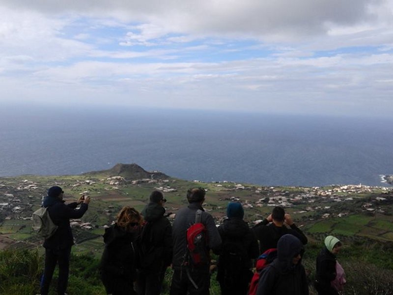
 Download KMZ
Points of Interest
Books and Guides

Protected Area(6.560,00 ha)

Lay-out of the itinerary

Departure

Arrival

Park Authority Offices

Visitor Centers (4)

Municipalities (1)

Points of Interest (63)

Photos (5)

EV charge ≥100kW (286)

Airports (1)

Ports (1)


© 2024 - Ente Parco Nazionale Isola di Pantelleria