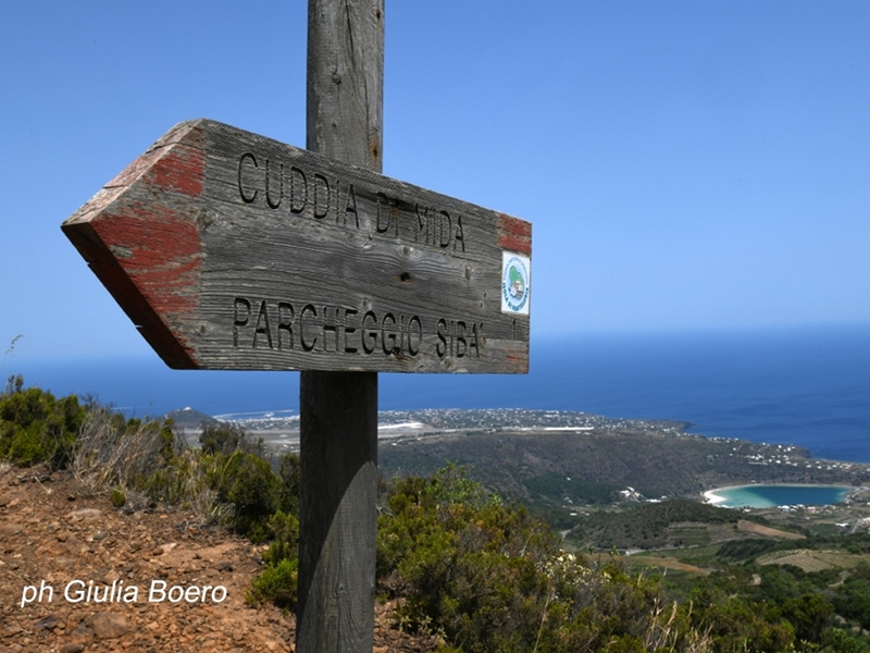
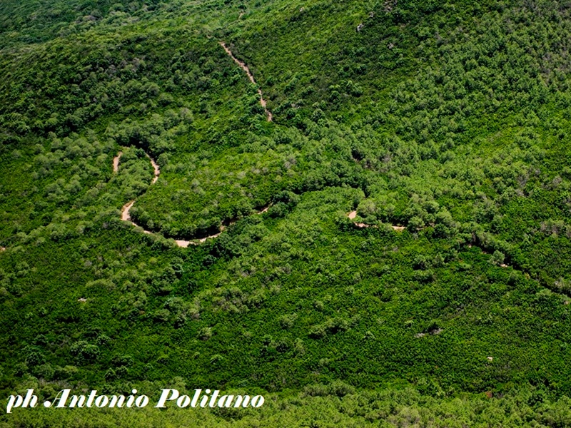
Parks.it Homepage
 

Itineraries

Trail network

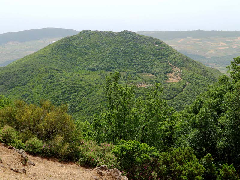
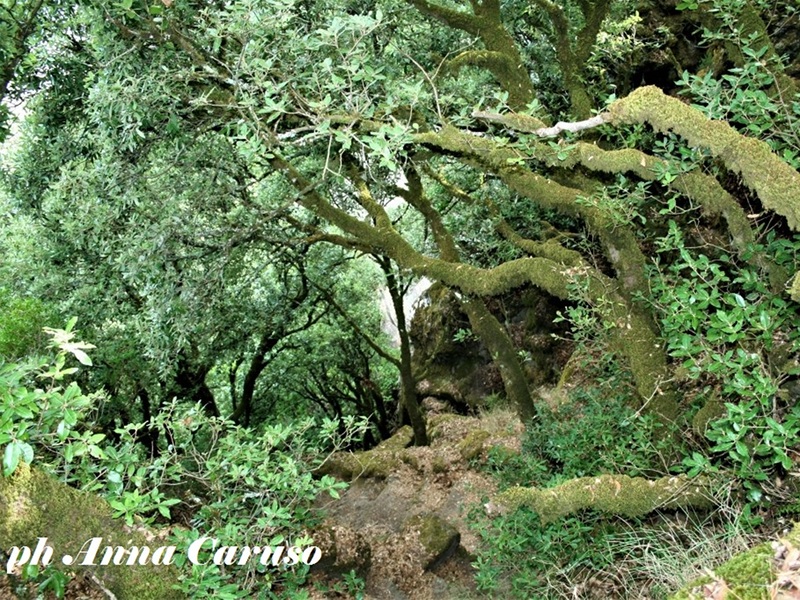
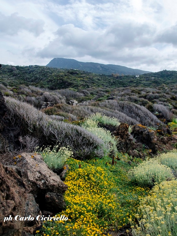
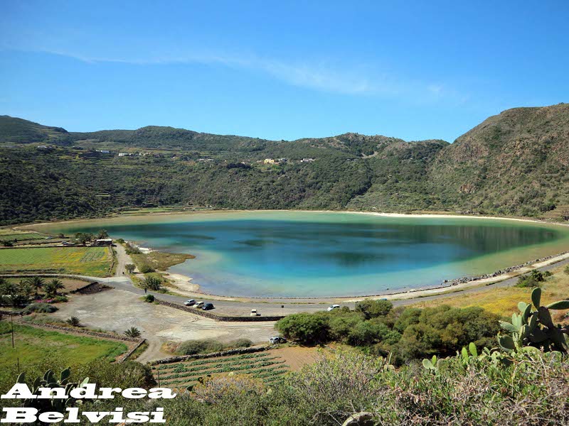
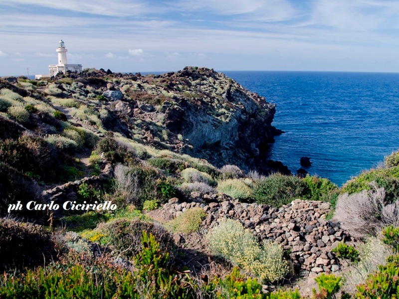
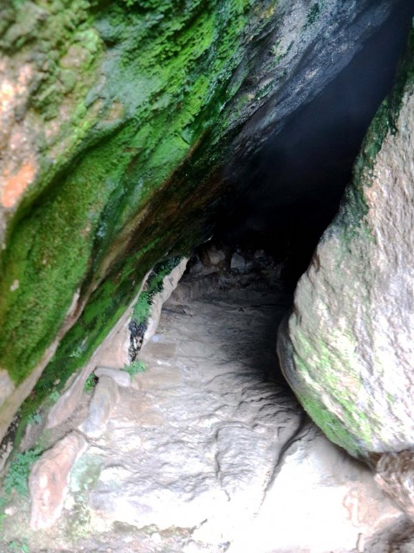
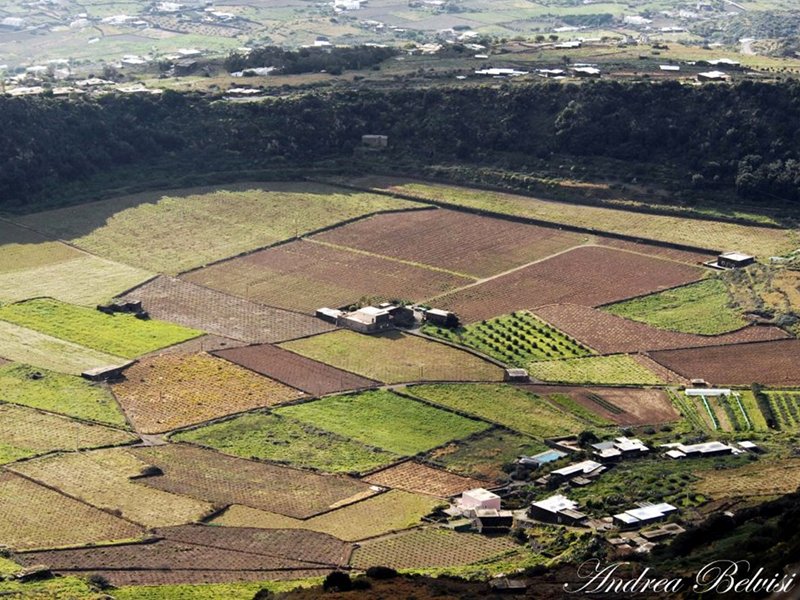
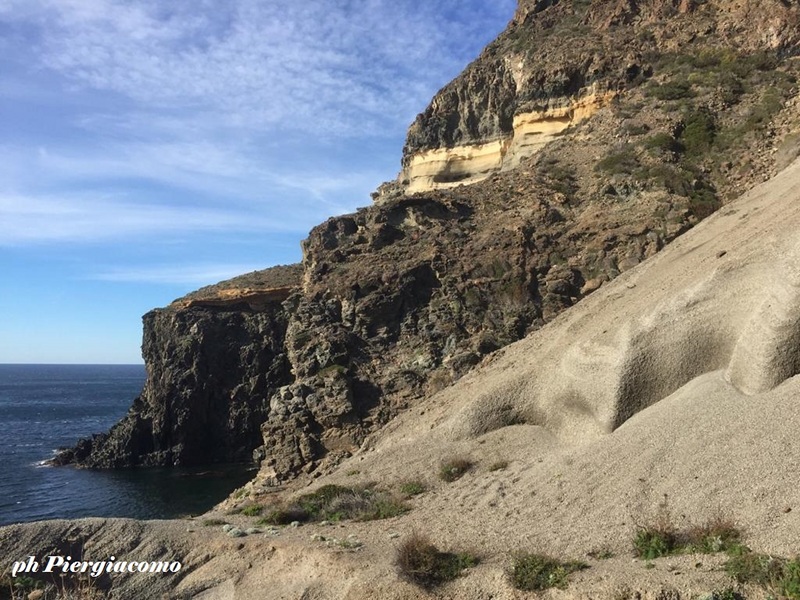
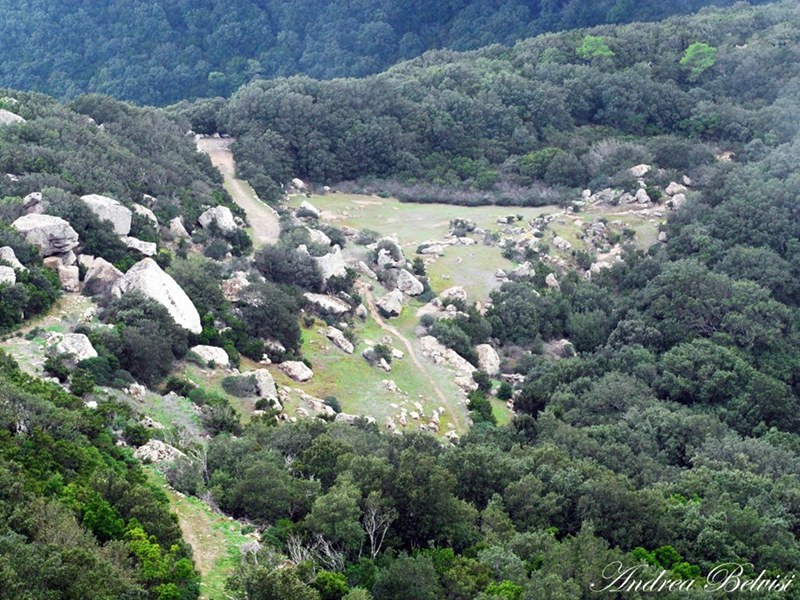
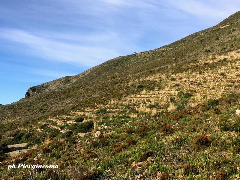
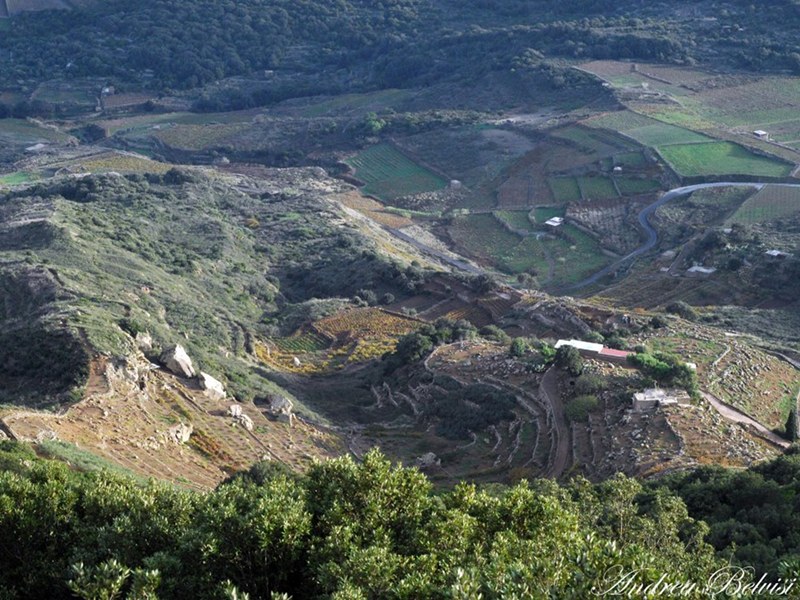
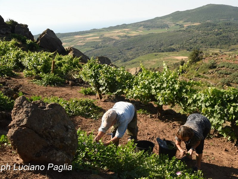
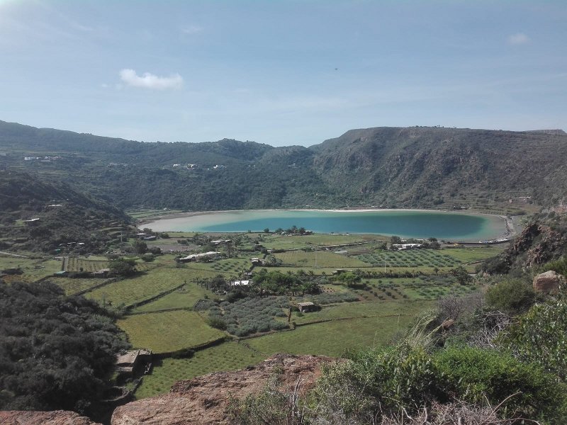
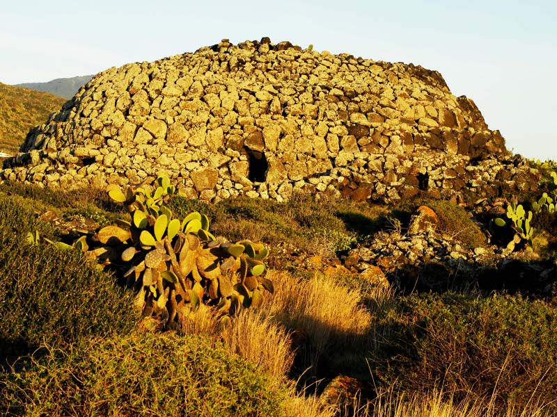
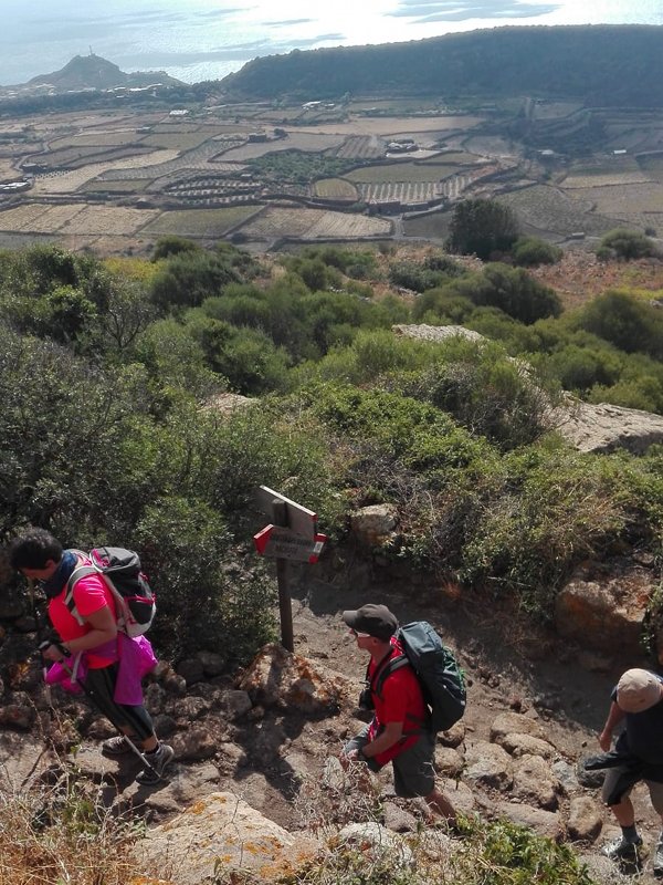
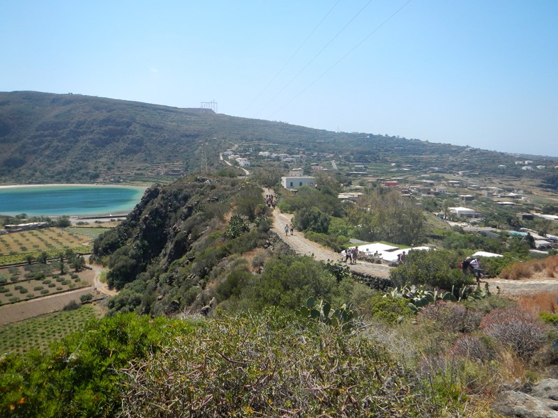
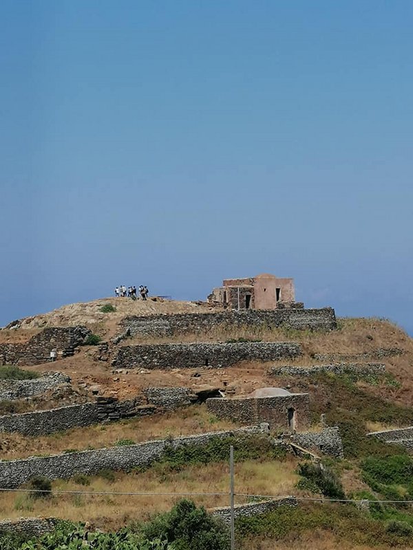
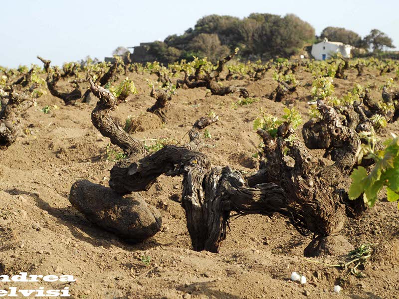
Pantelleria, green pearl of the Mediterranean sea, the largest of the Sicilian islands and the fourth Italian island. A dense network of trails carved from the ancient mule tracks and mountain trails. Once the undisputed kingdom of the Pantelleria donkey, it is now the realm of hikers. Explore the trails of the reserve, cross the valleys where man has been able to carve out spaces to grow zibibbo and capers, discover the past traces. The island's trail network consists of 21 trails, for a total of almost 100 km, with different thematics, from naturalistic to geological passing from historical or rural, and differentiated in point to point or circular tupe as well as for the length and the difference in height.

Download the Map of the Park Itineraries

Further information
Trail No. 971
Trail No. 971
Sibà Alta, Equipped Area, Grotta dei Briganti, Artificial Basin, Kùddia Mida
Map with georeferenced itinerary
Typology: On foot
Difficulty Level: E - Hiking (level)
Duration: 2 h 30 m
Trail No. 971A
Trail No. 971A
Montagna Grande - Briganti Cave
Map with georeferenced itinerary
Typology: On foot
Difficulty Level: E - Hiking (level)
Duration: 10 m
Trail No. 971C
Trail No. 971C
Kùddia Mida
Map with georeferenced itinerary
Typology: On foot
Difficulty Level: E - Hiking (level)
Duration: 20 m
Trail No. 972
Trail No. 972
Punta Spadillo - Bagno dell'Acqua - Montagna Grande
Map with georeferenced itinerary
Typology: On foot
Difficulty Level: E - Hiking (level)
Duration: 3 h 30 m
Trail No. 972C
Trail No. 972C
Crossroads no. 972
Map with georeferenced itinerary
Typology: On foot
Difficulty Level: E - Hiking (level)
Duration: 6 m
Trail No. 972V
Map with georeferenced itinerary
Typology: On foot
Difficulty Level: E - Hiking (level)
Duration: 20 m
Trail No. 973
Trail No. 973
Abitato di Sibá, TihirrÍhi (Tikirriki), Bugéber, Sentiero Romano, Cala 5 Denti
Map with georeferenced itinerary
Typology: On foot
Difficulty Level: E - Hiking (level)
Duration: 1 h 45 m
Trail No. 973A
Trail No. 973A
Cottone Bay
Map with georeferenced itinerary
Typology: On foot
Difficulty Level: E - Hiking (level)
Duration: 8 m
Trail No. 973C
Trail No. 973C
Cinque Denti Bay
Map with georeferenced itinerary
Typology: On foot
Difficulty Level: E - Hiking (level)
Duration: 8 m
Trail No. 974
Trail No. 974
Bugéber - Favara Grande - Rekhali (Rahàli)
Map with georeferenced itinerary
Typology: On foot
Difficulty Level: E - Hiking (level)
Duration: 2 h 45 m
Trail No. 974C
Trail No. 974C
Connection no. 972-974
Map with georeferenced itinerary
Typology: On foot
Difficulty Level: E - Hiking (level)
Duration: 23 m
Trail No. 975
Trail No. 975
Grotta di Benikulà - Favara Grande - Tráçino
Map with georeferenced itinerary
Typology: On foot
Difficulty Level: E - Hiking (level)
Duration: 3 h
Trail No. 976
Trail No. 976
Monastero - Rahàli - Punta Li Marsi
Map with georeferenced itinerary
Typology: On foot
Difficulty Level: E - Hiking (level)
Duration: 3 h 30 m
Trail No. 976C
Trail No. 976C
Connection no. 976-977
Map with georeferenced itinerary
Typology: On foot
Difficulty Level: E - Hiking (level)
Duration: 30 m
Trail No. 977
Trail No. 977
Balata dei Turchi - Mount Gibele
Map with georeferenced itinerary
Typology: On foot
Difficulty Level: E - Hiking (level)
Duration: 4 h
Trail No. 978
Trail No. 978
Dietro Isola - Tráçino - Muéggen
Map with georeferenced itinerary
Typology: On foot
Difficulty Level: E - Hiking (level)
Duration: 2 h 30 m
Trail No. 978V
Trail No. 978V
Variant no. 978 for Church of Sant'Antonio
Map with georeferenced itinerary
Typology: On foot
Difficulty Level: E - Hiking (level)
Duration: 3 h
Trail No. 979
Trail No. 979
Rekhale - c/da Barone - Piana della Ghirlanda
Map with georeferenced itinerary
Typology: On foot
Difficulty Level: E - Hiking (level)
Duration: 3 h 20 m
Trail No. 979A
Trail No. 979A
Cuddia Attalora Summit
Map with georeferenced itinerary
Typology: On foot
Difficulty Level: E - Hiking (level)
Duration: 10 m
Trail No. 980
Trail No. 980
Cinque Denti, Bue Marino, Pantelleria, Bagno dell’acqua
Map with georeferenced itinerary
Typology: On foot
Difficulty Level: E - Hiking (level)
Duration: 3 h 30 m
Trail No. 981
Trail No. 981
Pantelleria, Mursia, Via dei Sesi, Grazia, San Vincenzo
Map with georeferenced itinerary
Typology: On foot
Difficulty Level: E - Hiking (level)
Duration: 3 h 30 m

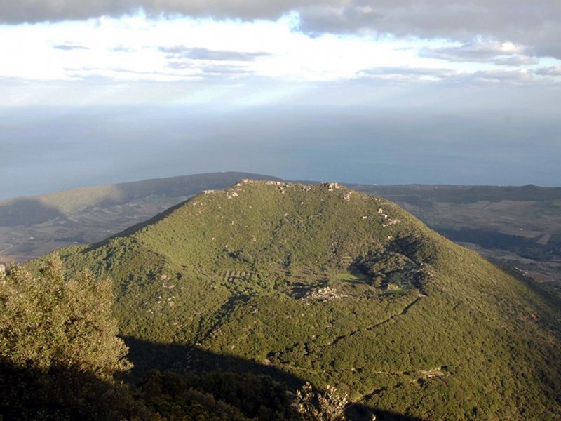
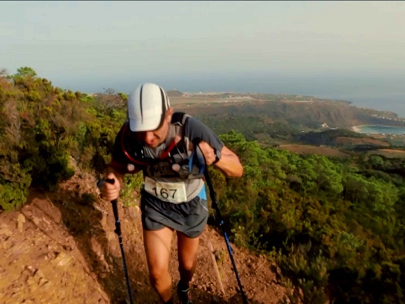
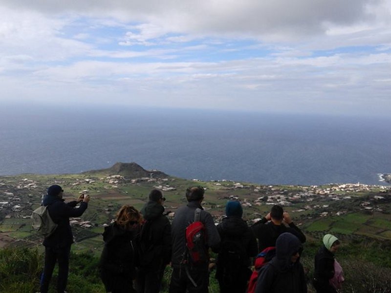
Trekking Itineraries

The trekking itineraries suggested in this section are a selection of the best circular trails obtained from the combination of different trails. The average long trails range from 7 to 15 km and require a normal physical preparation and some walking habit.

Further information
Kaggiar Itinerary
Map with georeferenced itinerary
Street View
Typology: On foot
Difficulty Level: E - Hiking (level)
Duration: 3 h 30 m
Interest: Flora, Wildlife, History
Montagna Grande Trail
Departure: parcheggio di Sibà alta
Map with georeferenced itinerary
Street View
Typology: On foot
Difficulty Level: E - Hiking (level)
Duration: 3 h 30 m
Interest: Flora, Wildlife
Pantelleria Trail
Map with georeferenced itinerary
Typology: On foot
Zighidi - Sauna - Favare Trail
Map with georeferenced itinerary
Typology: On foot
Difficulty Level: E - Hiking (level)
Duration: 3 h
Interest: Flora, Wildlife, History
Lago di Venere Trail
Typology: On foot
Difficulty Level: E - Hiking (level)
Duration: 3 h 30 m
Interest: Flora, Wildlife

Thematic Itineraries

Archaeological Itinerary
Pantelleria Capoluogo, Mursía, Çimillía, Scauri Scalo, Zighidí, Lago Bagno dell'Acqua, Acropoli di San Marco
Map with georeferenced itinerary
Typology: By bike, Car
Interest: Archeology, History
Cultural trail for the agricultural practice of the tree wine
Pantelleria Capoluogo, Khazzén, Grazia, Bukkurám, San Vito, Kufurá, Sibá, Monastero, Zitón di Rahàli, Serraglia, Ghirlanda, Muéggen, Tráçino, Cala Levante
Map with georeferenced itinerary
Typology: By bike, Car
Interest: Geology, Panorama
Geovolcanological Itinerary
atária, Grazia, Bukkurám, Sibá, Bugéber, Lago Bagno dell'Acqua, Khattibuáli, Cala Cinque Denti, Khaggiár, Gadír
Map with georeferenced itinerary
Typology: By bike, Car
Interest: Geology

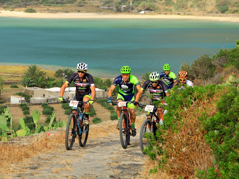
Mountain Bike Itineraries

For mountain bike enthusiasts there is the possibility to discover most of the National Park trails by mountain bike or electric mountain bike. Once again, some of the most striking itineraries have been selected, suitable for all those who have an average preparation of mountain bike on mountain trails.

Further information
Granfondo Parco di Pantelleria
Test of the Coppa Sicilia Granfondo circuit, Federazione Ciclistica. 14 July 2019
Departure: Lago di Venere
Map with georeferenced itinerary
Typology: By bike
Interest: Panorama
Gibele Montagna Trail
Typology: By bike
share-stampashare-mailQR Codeshare-facebookshare-twitter
© 2024 - Ente Parco Nazionale Isola di Pantelleria