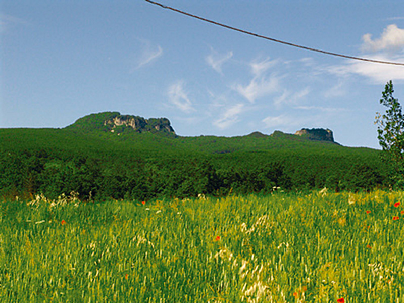
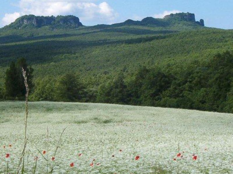
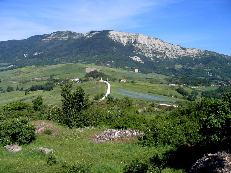
Itineraries
The itineraries we are going to suggest to you in these web pages are just a small part of the ones you can find in the area of Sasso Simone e Simoncello Park. Most of the described paths are signalled and numbered by the CAI.
You will also find maps showing the detailed itineraries we are going to propose to you in the seat of the park, in Ponte Cappuccini Visitor Center as well as in the Pro Loco (local tourist board) and in tourist offices.
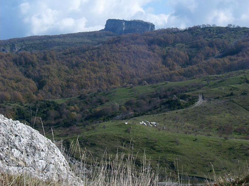
The park of Sasso Simone e Simoncello also includes a firing ground. The access to this area can be forbidden in case of military training. For this reason, it is always advisable to ask if military training is going to be held. The access to the firing ground is free when military training does not take place. In this case the perimeter of the firing ground is entirely guarded and surrounded. In summer, the military training does never take place.
These itineraries are not very difficult. Some of them, the longest ones, require some physical training. The other ones are suitable for families with children. You should always remember to carry suitable clothes with you and comfortable and strong shoes suitable for trips. It is advisable to wear different layers of clothes which should be not too warm. In this way you will be able to adapt quickly to weather changes.
It is also useful to have a cape in case of rain and some spare clothes which you should use at the end of your trip. It is better to have in the rucksack something to drink and something highly nutritious to eat. It is advisable to carry a small first-aid-kit with you. Remember to throw rubbish in a litterbin at the end of your trip.
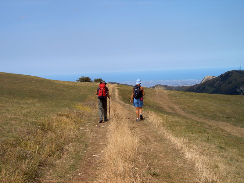
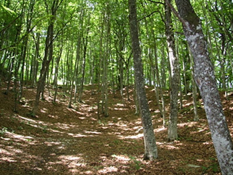
Trekking

Mountain Biking and Horse Riding
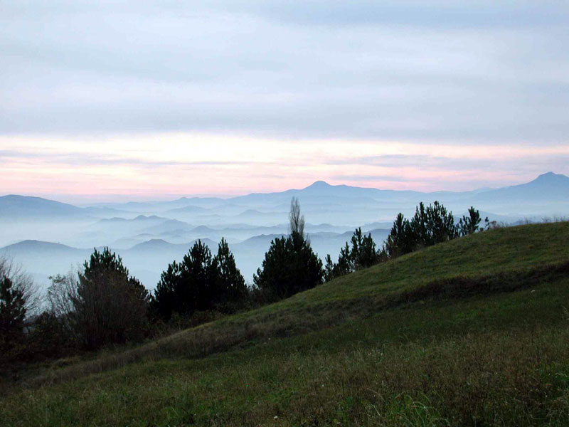
The Alta Via dei Parchi
A long hike in the northern Apennines
The Alta Via dei Parchi is a 27 stages long itinerary to be walked along the Apennines between Emilia-Romagna, Tuscany and the Marches.