


Path of Habitats
In the nature reserve SAC Alta Val di Stava
- Trail Conditions: On foot
- Interest: Flora, Wildlife, Bird Watching, Geology, Panorama, Photography
- Departure: Pampeago
- Duration: 5/6 hours
- Difficulty Level: E - Hiking (level)
- Length: 7.5 km
The proposed itinerary is fully developed in altitude (over 2,000 m asl) that will be reached by the Agnello chairlift (return ticket € 7.50, free up to 8 years).
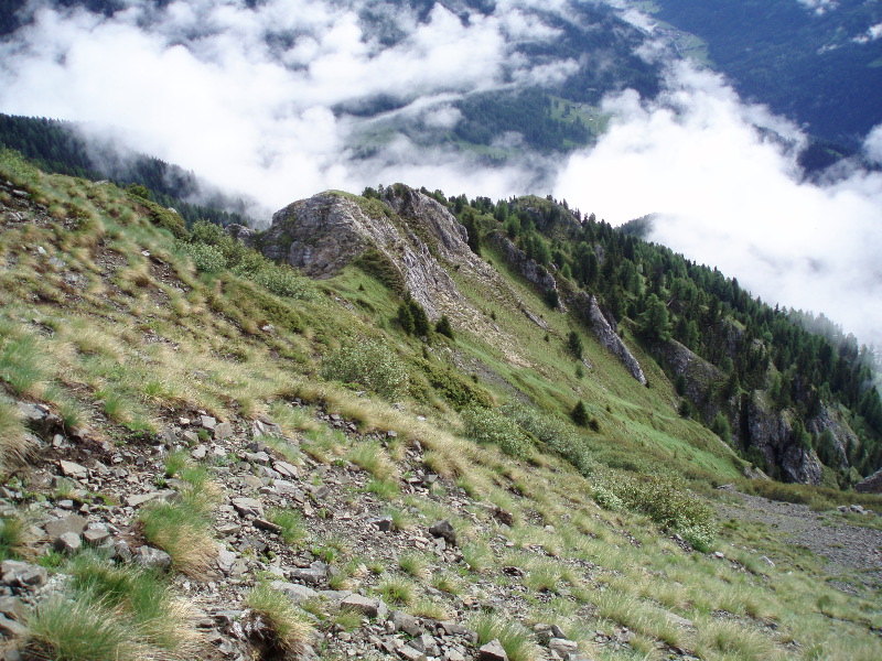
With a succession of ups and downs, not too demanding, you will first reach the "Baito de la Bassa" (photo), then the "Doss dei Branchi" (maximum altitude of the route: 2270 m asl) then, in succession, "Croce del Corno", "Baito Armentagiola "(photo)," Censi "and" La Porta "before returning to Pampeago.
Altogether this is an excursion of approx. 7.5 kilometers, with approx. 500 meters of total difference in height: a hiking route (E) without climbing difficulties that requires, however, considering the breaks, the whole day.
 Accesso principale con seggiovia Agnello
 Alternative access by foot to Tresca parking
SAC Alta Val di Stava
 Download KMZ
Protected Area(4.089,00 ha)

Lay-out of the itinerary

Departure - Arrival

Park Authority Offices (2)

Municipalities (11)

EV charge ≥100kW (286)


© 2024 - Rete di Riserve Fiemme-Destra Avisio