


Yellow itinerary (northwestern zone)
- Trail Conditions: On foot
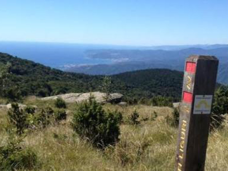
From the picnic area Pian di Stella (m 1,220) one walks along the fence towards the aerials and reaches Mount Beigua's summit and the location of the monumental cross. As its name suggests, it is the crossroads of ancient paths leading to the mountains and to the sea as well. If you want to visit the Mount Grosso area, this is where the path begins (marked with three yellow circles) and joins, with its first stretch, the path leading to Piampaludo (path marker: yellow X).
Further information1 lap of: Napoleon's paths
Yellow itinerary - Napoleon's paths
 Download KMZ
 Download the GPX format
Protected Area(8.790,71 ha)

Lay-out of the itinerary

Departure

Arrival

Park Authority Offices

Visitor Centers (8)

Mountain huts/bivouacs* (1)

Municipalities (11)

Points of Interest (35)

Photos (20)

EV charge ≥100kW (286)

Airports (1)

Ports (1)

Station (4)
*: only Operators with Accommodation Page


© 2024 - Ente Parco del Beigua