


Points of Interest
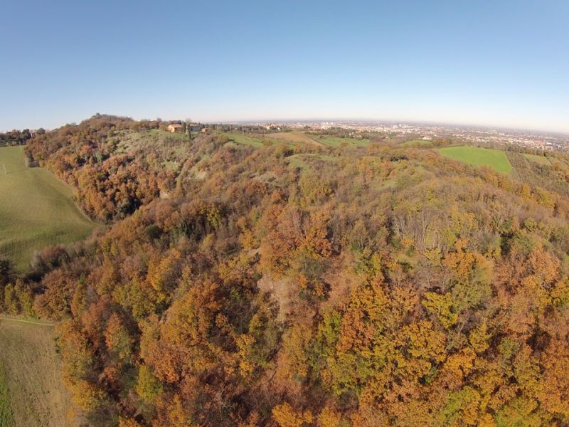
Points of interest Parco dei Gessi Bolognesi e Calanchi dell'Abbadessa
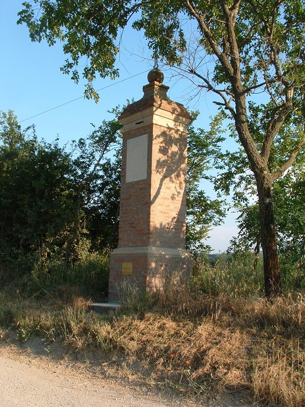
Municipality: Ozzano dell'Emilia (BO)
Municipality: San Lazzaro di Savena (BO)

Municipality: San Lazzaro di Savena (BO)
Municipality: San Lazzaro di Savena (BO)
Municipality: San Lazzaro di Savena (BO)
Municipality: San Lazzaro di Savena (BO)
Municipality: San Lazzaro di Savena (BO)
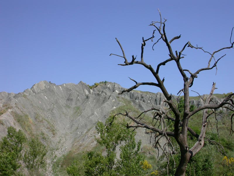
Location: (BO)
Location: (BO)
Municipality: Pianoro (BO)
Municipality: San Lazzaro di Savena (BO)
Municipality: San Lazzaro di Savena (BO)
Municipality: San Lazzaro di Savena (BO)
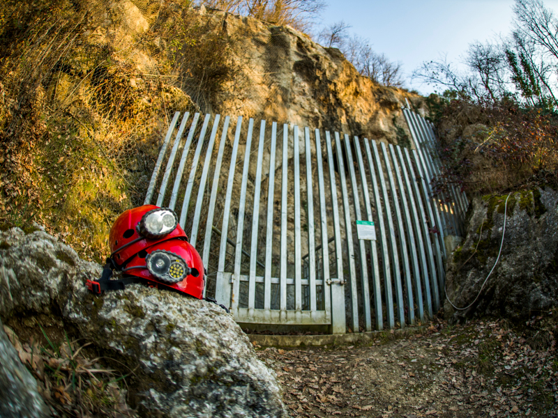
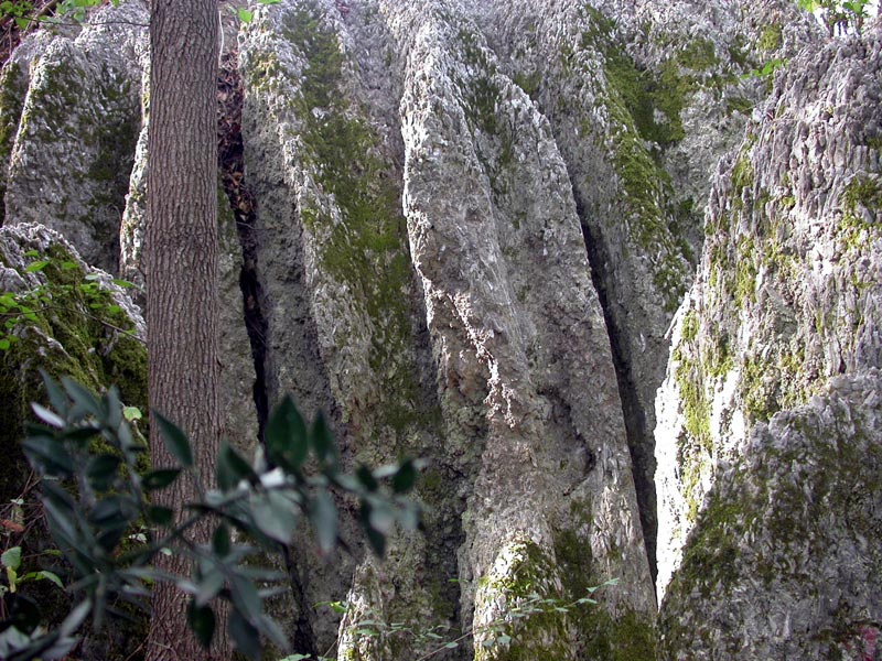
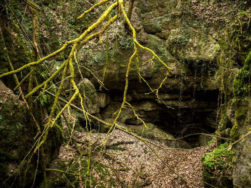
Buche
Municipality: San Lazzaro di Savena (BO)
Municipality: San Lazzaro di Savena (BO)
Municipality: San Lazzaro di Savena (BO)

Municipality: San Lazzaro di Savena (BO)
Municipality: San Lazzaro di Savena (BO)
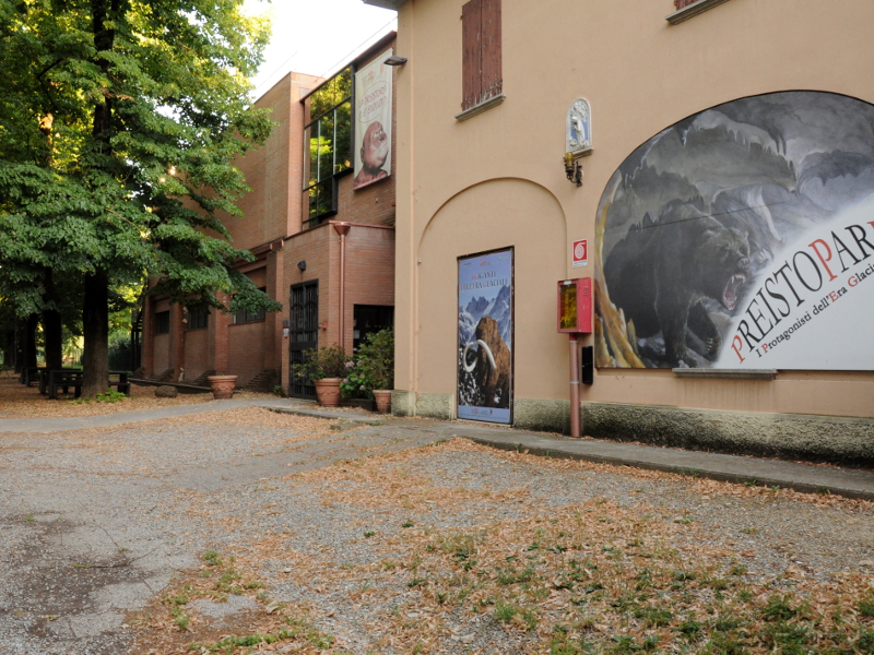
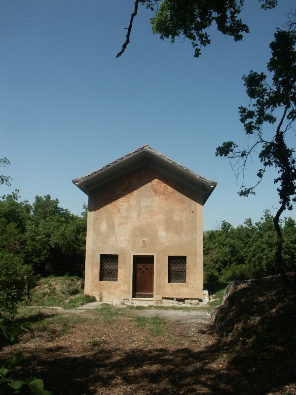
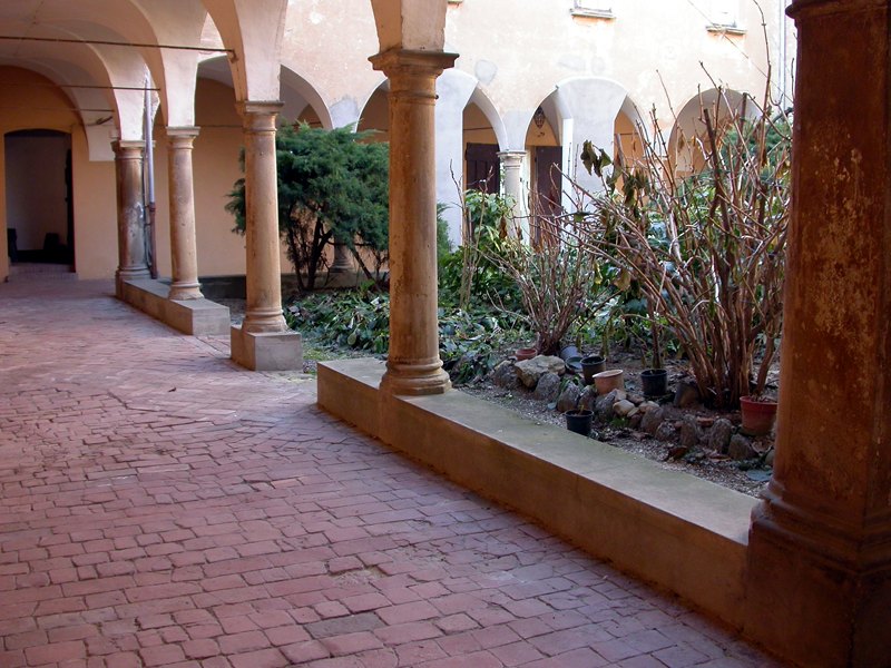
Oratories, Churches, Parishes
Municipality: San Lazzaro di Savena (BO)
Municipality: San Lazzaro di Savena (BO)
Municipality: San Lazzaro di Savena (BO)
Municipality: San Lazzaro di Savena (BO)
Municipality: Ozzano dell'Emilia (BO)
Municipality: Ozzano dell'Emilia (BO)
Municipality: Ozzano dell'Emilia (BO)
Municipality: Ozzano dell'Emilia (BO)


© 2024 - Ente di gestione per i Parchi e la Biodiversità - Emilia Orientale