

Route 696b
Valle Granara - Valle Fura - Monte Viglio
- Trail Conditions: On foot
- Interest: Geology, Panorama
- Departure: Valle Granara (1,198m)
- Duration: 2 hour/s 30 minutes
- Difficulty Level: EE - For expert hikers
- Length: 4.700 km
- Difference in height: Uphill 914m - Downhill 7m
- Minimum Altitude: 1,252m
- Maximum Altitude: 2,160m
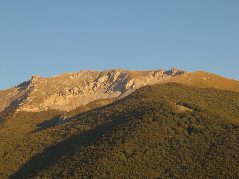
Go beyond Filettino towards Campo Staffi. Through a small street reach the Valle Granara residence and start climbing the small pinewood following the path's not very visible traces. Once reached the beginning of the beech forest the trail becomes steeper. After a series of hairpin turns reach a clearing called Valle Fura, where the markers of other two paths intersect.
Further information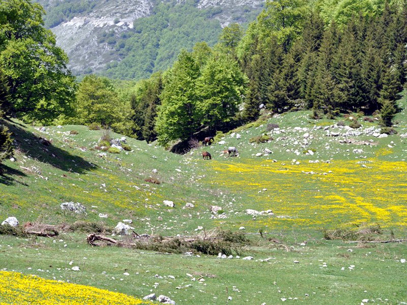
Route 696 b
 Download KMZ
 Download in GPX format
Points of Interest
Books and Guides

Protected Area(29.990,00 ha)

Lay-out of the itinerary

Departure

Arrival

Park Authority Offices

Visitor Centers (9)

Where to Sleep* (1)

Municipalities (8)

Points of Interest (78)

Photos (153)

Videos (21)

Pic-Nic Area (36)

EV charge ≥100kW (286)

E-Bike charging (9)

Airports (1)

Highway exits (1)
*: only Operators with Accommodation Page


© 2024 - Parco Naturale Regionale Monti Simbruini