

Itinerary 674a
Stellante-Fondi-Pozzitello-Morra dell’Aquila-Colle Taleo-S.Biagio-S.Benedetto-S.Scolastica
- Trail Conditions: On foot
- Interest: Panorama, Religion, Hystory
- Departure: Stellante (1,515m)
- Arrival: S. Scolastica
- Duration: 4 hour/s 40 minutes
- Difficulty Level: E
- Length: 10.5 km
- Difference in height: Uphill 80m - Downhill 1,053m
- Minimum Altitude: 525m
- Maximum Altitude: 1,525m
For this itinerary, you can reach Mt. Livata - Campo dell'Osso by public means of transport, getting off at loc. Stellante. The trail can also be followed backwards, with a difference in height of about 1,000m.
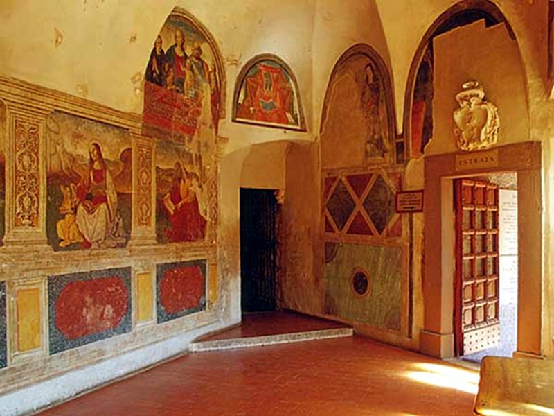
San Benedetto
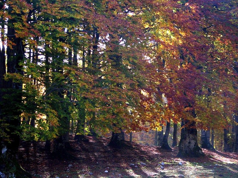
Beech tree woodland, Campitello
 Download KMZ
 Download in GPX format
Points of Interest
Books and Guides


Protected Area(29.990,00 ha)

Lay-out of the itinerary

Departure

Arrival

Park Authority Offices

Visitor Centers (9)

Where to Sleep* (1)

Municipalities (8)

Points of Interest (78)

Photos (153)

Videos (21)

Pic-Nic Area (36)

EV charge ≥100kW (286)

E-Bike charging (9)

Airports (1)

Highway exits (1)
*: only Operators with Accommodation Page


© 2024 - Parco Naturale Regionale Monti Simbruini