598-1 (AV5T 1) Portovenere - Telegrafo
- Trail Conditions: On foot, By bike
- Interest: Flora
- Duration: 3 hour/s 20 minutes
- Return time: 3 hour/s
- Difficulty Level: E - Hiking (level)
- Length: 4.725 km
- Difference in height: 254m
Originating in Portovenere, the trail enters the Park's boundary at "Bocca di Cavalin" in the place called Albana, just after passing by the Muzzerone rock face, renowned climbing route. The observation point called Pitone offers a stunning view of the Cinque Terre coastline and the small islands of Palmaria and Tino. On clear days, the silhouette of the isles Gorgona, Capraia and Corsica can be seen looking south. From here, passing through a dense Mediterranean vegetation on the south slope of Mount Castellana and looking out onto panoramic rocky terraces, the trail climbs upwards to the village of Campiglia, before which it passes by the turret of a small old windmill. Past Campiglia, the trail runs uphill along the wooded slope, where hikers can observe magnificent specimens of cork oak before reaching the Sant'Antonio pass (508 m a.s.l.). The Sant'Antonio pass also offers many different itineraries to visit the Tramonti area. The trail continues up to the Telegrafo hill via a flat stretch after walking through a wooded area provided with outdoor gym equipment called "Palestra nel Verde".
Further information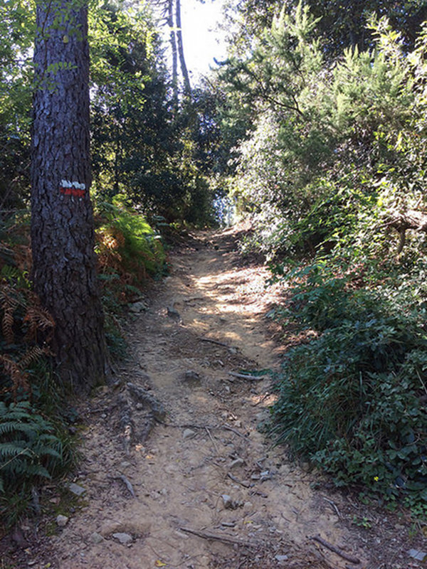
 Download KMZ