


Caoria - Malga Miesnotta - Cima Cece and return
- Trail Conditions: On foot
- Interest: Panorama
- Duration: up to Malga Miesnotta 5 hours; up to Cima Cece 9 hours
- Difficulty Level: for expert and well-trained hikers only
- Difference in height: up to Malga Miesnotta 1,030m; up to Cima Cece 1,900m
From Caoria take trail no. 352 leading to Val Sorda till the confluence point of Rio Valzanca with Rio Valsorda. From here (on foot) turn left towards Masi di Tognola and Masi di Valzanca up to Campo Bus (1,460 meters). Here take trail no. 336 up to Malga Miesnotta di sopra, a rural building which has been completely rebuilt. It is situated at the altitude of 1,879 meters above sea level. From here it is possible to reach Cima Cece, following an uphill trail for about 2 hours. Here you will enjoy a wonderful view over the whole Park territory.
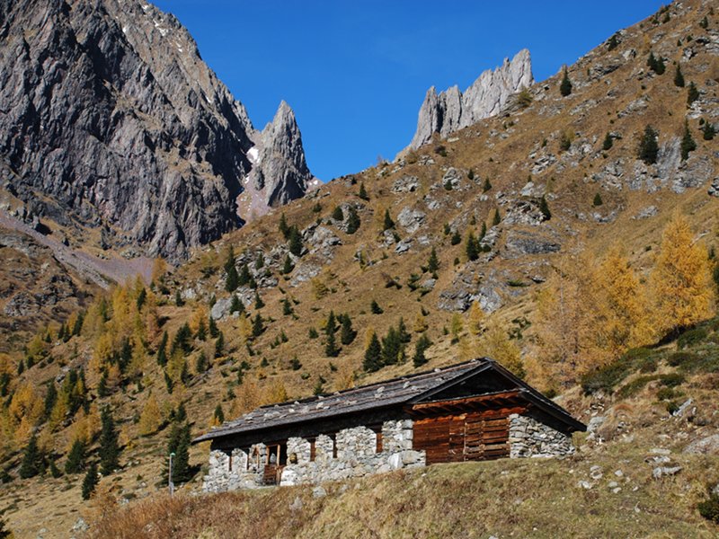
Miesnotta mountain pasture


© 2024 - Ente Parco Naturale Paneveggio - Pale di San Martino