|
|
|||
|
|||||
Some instructions |
What GPS isGPS (Global Positioning System), is a world orientation system, giving you the opportunity to calculate your position, at any time and with a gap of a few meters, thanks to the "satellite navigator", that is an instrument able to interpret the signals of a network of satellites gravitating around the Earth. What about GPS within a Park?Of course, in this case things do change! The paths, also the busiest ones, have been not yet digitalized for GPS; moreover, sometimes a few meters of rock or a particularly thick wood are enough to make you lose the signal of one or more satellites, so that the GPS orientation operations become less precise, or even ineffective. Let's begin to experiment it!The market offers several portable instruments weighting only a few pounds, giving the opportunity to easily discover your position; on them you can also download the files which will soon be available free of charge in this page. |
||||
Parco Adamello Brenta |
|||||
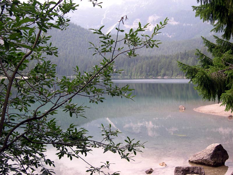 |
Around the lake of Tovel (Parco Adamello Brenta - TN)
|
||||
Riserva Naturale di Monte Catillo |
|||||
 |
|
||||

We suggest an experimental download of a stretch of itinerary in the Reserve, which can be visualized and followed with GPS.
The “trail” regards the Blue Trail crossing the wood of Macchia di Gattaceca for about 2,6 kilometers.
Further information (Italian text)