Percorso verde - Green Route
Pedestrian self-guided trail and sports trail
- Trail Conditions: On foot
- Departure: parcheggio del Lago Valtiverno
- Duration: 2 hour/s 30 minutes
- Length: 4 km
- Difference in height: 100m
- Maps: ICM 1:25.000 sheet 69 11 NE
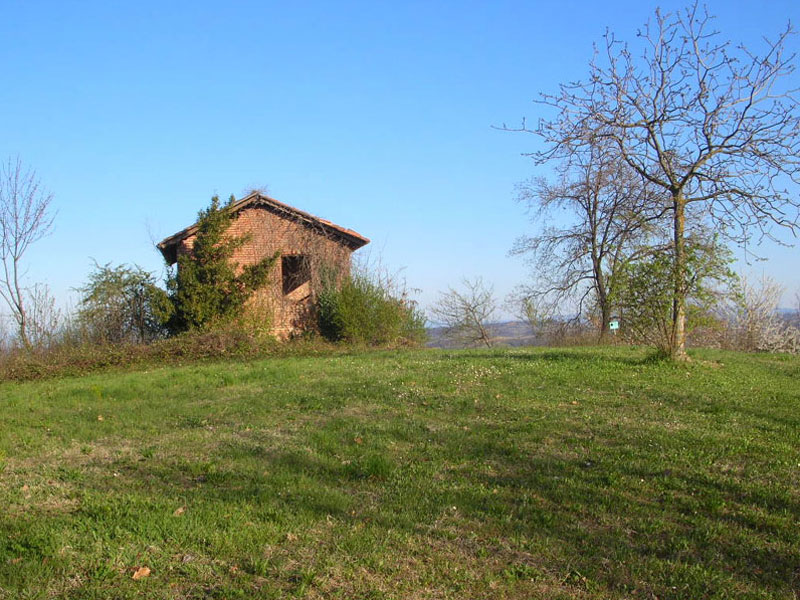
Leave from the parking area of Valtiverno Lake, and take the non-asphalt road in the direction of Belairo. Climbing the hill and leaving the lake behind you, you will cross an area covered with vineyards. On the left, near the first recreational area, in May you will have the opportunity to observe several orchids. In the hottest hours, with a bit of luck, you might sight the buzzard. The itinerary follows the ridge, running along vineyards and poplar groves. Turning right and looking at the valley bottom, you will clearly see the areas where cultivations have been abandoned. They are particularly interesting areas, since they represent one of the stages of the transformation of cultivated areas into woodlands. If you go ahead, you will get to Bricco dei Tre Vescovi, that until the past century marked the meeting point of the jurisdictions of the three Bishop's estates of Asti, Alessandria, and Acqui (there is still the boundary mark). Here you will find a second recreational area. The itinerary continues along a rather flat stretch following the ridge and crossing thick chestnut tree woodlands, locust tree woodlands, and oak woodlands which give way in summer to wonderful violets, primeroses, lilies, orchids, and dog roses. Following the ridge, you will find the third recreational area at the shadow of a young oak woodland dominated by sessile oaks, with a very luminous undergrowth for the light structure of the tree foliage, favoring the abundant growth of flowers (lilies, Solomon's-seal, orchids, and lilies of the valley). This is the favorite habitat of the Great Spotted Woodpecker. After leaving the oak woodland, the trail develops downhill among chestnut trees, ash trees, and downy oaks, and then becomes flat and enters locust tree woodlands up to Serra, where you will find the last recreational area (a reference point also for the horse-riding trail), before going down to the valley bottom.
From Tre Vescovi Farmstead to Serra, you will find an exercise course.
This course consists of 16 panels and apparatuses scattered along the way, giving the opportunity to practice sport in an uncontaminated environment.
Going back to the trail, from loc. Serra you go slowly down across abandoned vineyards and locust tree woodlands. As you get closer to the valley bottom crossed by small streams, you can notice the climate change: from the hotter and drier temperatures of the hillocks (sub-Mediterranean climate) to the cooler and wetter temperatures of Valtiverno Valley (sub-Atlantic climate). As a consequence, you will also notice a change in the vegetation, with mesophile and hygrophile plants like elder, wild hazelnut tree, alder, willow, and ferns. In late winter, it is possible to observe primeroses, liverworts, Dogtooth violets. In the wetlands of the valley bottom, mammals like wild boars, foxes, and badgers live.