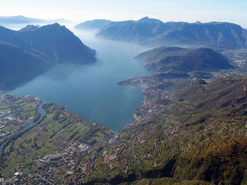
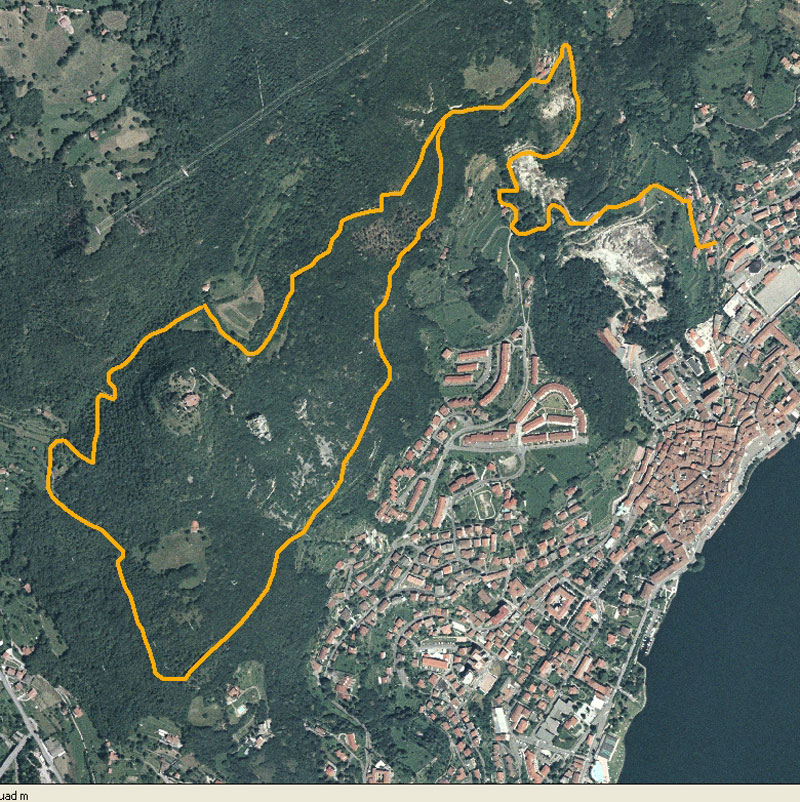
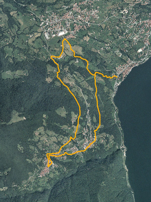
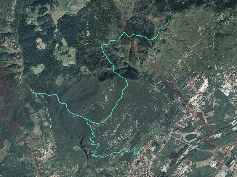
Parks.it Homepage
 

Itineraries

General Advice for the Hikers

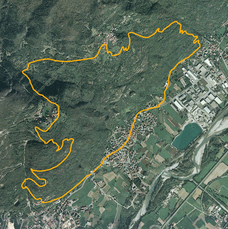
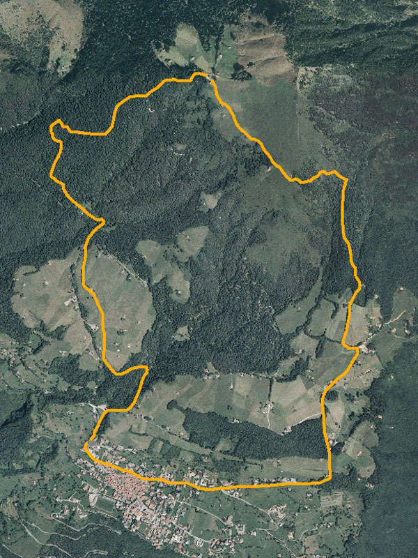
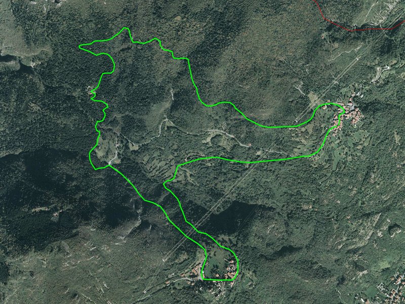
All the routes develop along mule tracks, dirt roads, and well-marked trails that should not present orienteering difficulties; as far as the difficulties for the hiker, all the itineraries can be considered "easy", even if some short stretches may be rather steep; it is necessary to pay attention, because the roadbed gets slippery in case of bad weather. Since you will move in a mountain environment, there will be ups and downs and, according to your training and resistance, you will decide which route you prefer to enjoy. You will find drinking water along most of the routes, but it is recommended to bring your own. As far as clothing is concerned, it will vary according to the season; however, also during the summer it is recommended to bring sweater and windcheater, as well as a waterproof mantel or a pocket umbrella. Please wear trekking shoes. We would also like to remember that the routes mainly develop within the territory of Parco Locale di Interesse Sovracomunale Alto Sebino and this implies maintaining a responsible behavior and respect nature, not to leave waste, and not to abandon trails.

Itineraries
Mt. Cala Nature Ring-Route
Departure: abitato di Lovere
Typology: On foot
Difficulty Level: easy
Duration: 2 h
Interest: Flora
Sebino Panoramic Nature Trail
Between Solto Collina, Riva di Solto, and Fonteno
Departure: Solto Collina, loc. Dosso
Typology: On foot
Difficulty Level: easy
Duration: 2 h
Interest: Panorama
The Trail of the Deer
In Val Gola
Departure: Volpino (in paese)
Typology: On foot
Difficulty Level: intermediate
Duration: 3 h 30 m
Interest: Panorama
The Trail of the Hills
In Val Fonteno
Departure: Fonteno (parcheggio vicino alla piazza)
Typology: On foot
Difficulty Level: intermediate
Duration: 5 h 30 m
Interest: Panorama
The Trail of the Malghe
In Valle dell'Orso - Piano della Palù
Departure: Curva a metà percorso stradale tra S.Vigilio e Monti
Typology: On foot
Difficulty Level: intermediate
Duration: 4 h 30 m
Interest: Flora, Panorama
The Trail of the Memory
In Valle del Monte
Departure: Sovere, Santuario Madonna della Torre
Typology: On foot
Difficulty Level: easy
Duration: 3 h 30 m
Interest: Flora, Panorama
The Trail of the Mountain Hut
From Lovere to Magnolini Mountain Hut
Departure: Lovere (piazzale Marconi)
Typology: On foot
Difficulty Level: intermediate
Duration: 4 h
Interest: Flora, History
The Trail of the Mountaineers
Between Rogno and its Country Hamlets
Departure: Rogno (centro del paese)
Typology: On foot
Difficulty Level: intermediate
Duration: 4 h
Interest: Flora, History
The Trail of the Plateau
In the Meadows and Forests of Bossico
Departure: Bossico (parcheggio ad occidente del paese)
Typology: On foot
Difficulty Level: easy
Duration: 2 h 30 m
Interest: Flora, Panorama
Valle dell'Orso Nature Trail
Departure: frazione Monti comune Rogno
Typology: On foot
Difficulty Level: easy
Duration: 2 h 30 m
Interest: Flora, Wildlife
share-stampashare-mailQR Codeshare-facebookshare-twitter
© 2024 - Comunità Montana dei Laghi Bergamaschi